
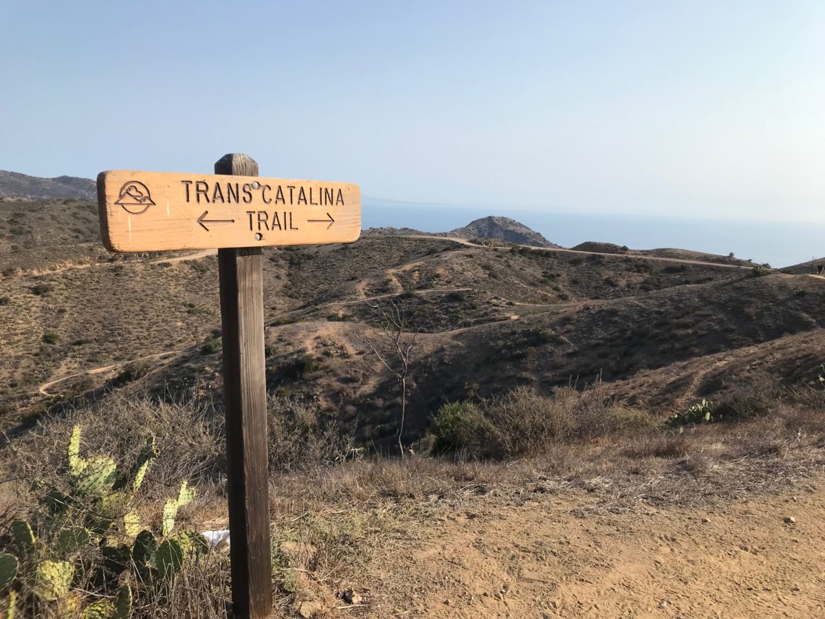
Our fourth day on the TCT marked a restful return to form on the Trans-Catalina Trail (TCT).
Although several bison rumbled through Black Jack Campground periodically through the night, we awoke before dawn [mostly] well-rested and ready to get an early start on our final day on the TCT.
Hiking The Trans-Catalina Trail (TCT): Part 5 – Black Jack Campground To Avalon (Catalina Island, CA)
As a refresher, here was our planned 5 day itinerary:
- Day 1: Two Harbors to Parsons Landing Campground [7.6 Miles]
- Day 2: Parsons Landing Campground to Two Harbors Campground [7.2 Miles] (with the Starlight Beach spur trail [9.2 Miles])
- Day 3: Two Harbors Campground to Little Harbor Campground [5.9 Miles]
- Day 4: Little Harbor Campground to Black Jack Campground [9.7 Miles]
- Day 5: Black Jack Campground to Avalon [11.7 Miles]
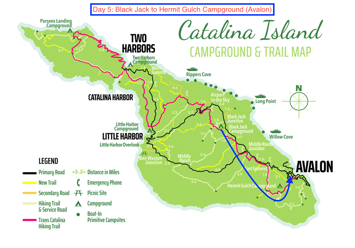
The blue arrow marks the trail from Black Jack Campground to Avalon (original image courtesy of catalinachamber.com)
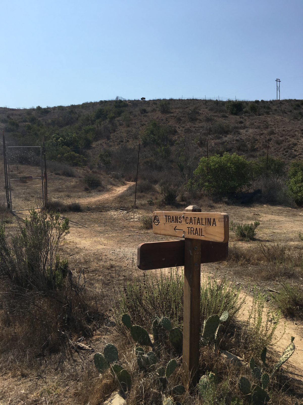
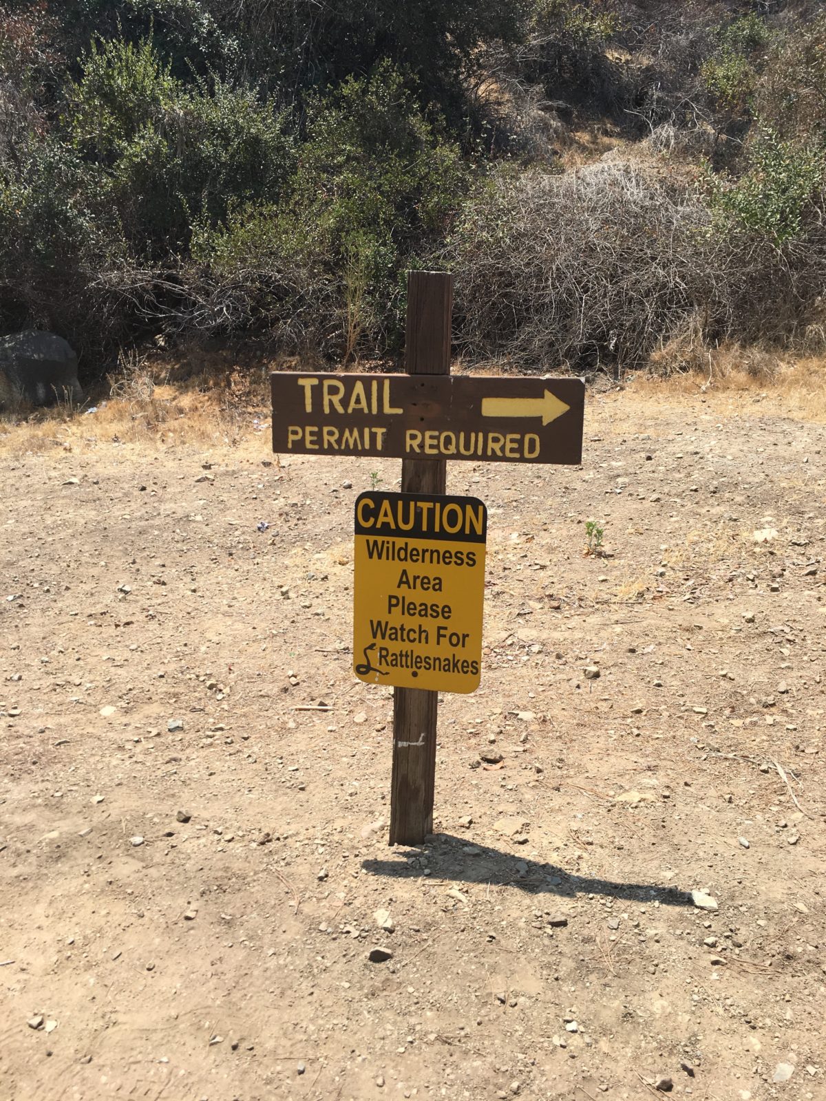
Section 1: Black Jack Campground To Upper Cape Reservoir Road [1.5 Miles]
We were feeling great and hit the trail before sunrise, determined to get an early jump on the TCT so that we could potentially finish before the mid-day started blazing overhead.
It seemed nothing could stand in our way.
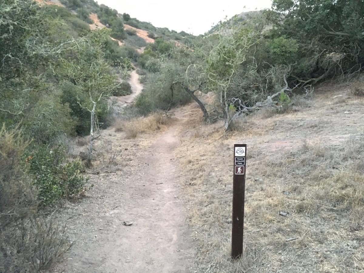
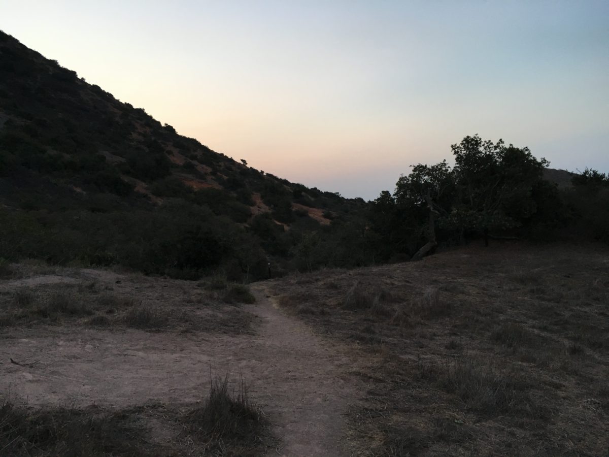
Not wasting anytime, we hit the TCT at the crack of dawn.
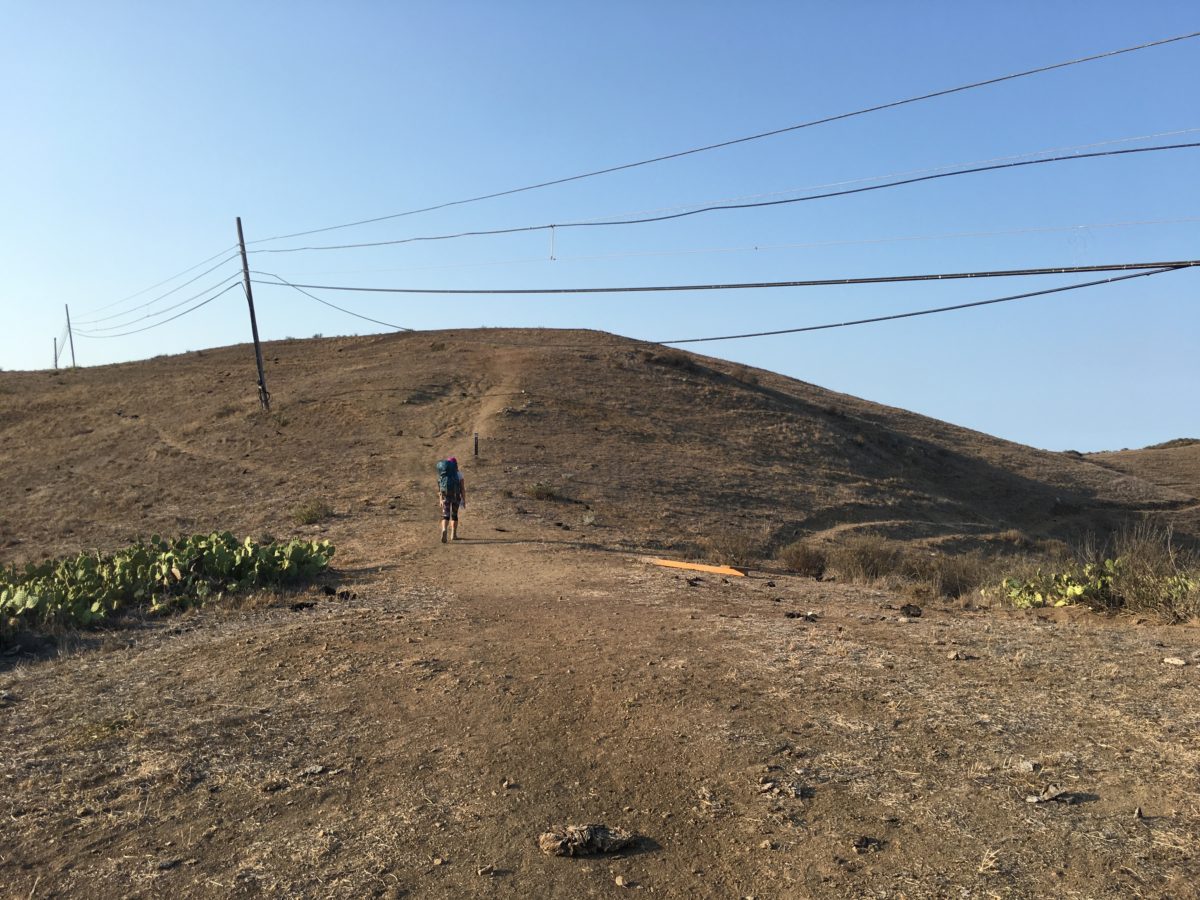
That was, until we ran into a huge bison bull blocking the trail [see the pictures below].
At first, we decided to wait him out, but he didn’t budge. We waited about 20 minutes before trying the next option, seeing if there was away around him.
There wasn’t. I walked up on the sides of both hills and I could see he was [purposely] blocking the trail on the only access point before a steep drop-off.
By now, about 40 minutes had elapsed. I then opted to see if [maybe] he was non-aggressive and if he might let us pass. This was a terrible idea. Did I mention bison are jerks?
As I slowly approached him from the trail [below], he bellowed loudly and started aggressively snorting and pawing his foot in the dirt, threatening to charge. Recognizing his aggressive warning, I immediately and slowly backed away until I was again at a safe distance.
By now, he was really pissed off. There were no remaining options left but to wait.
After 2 hours, the bull finally got bored and walked behind patch of trees. Once he was completely on the other side of the vegetation, we made a run for it.
As we ran past him (on the other side of the trees), he again started bellowing, and maneuvered as if to charge. I was the last in my group, so I was relieved when I saw that he “false charged” and decided it wasn’t worth his energy to run around the tree patch. By then we were safely past him.
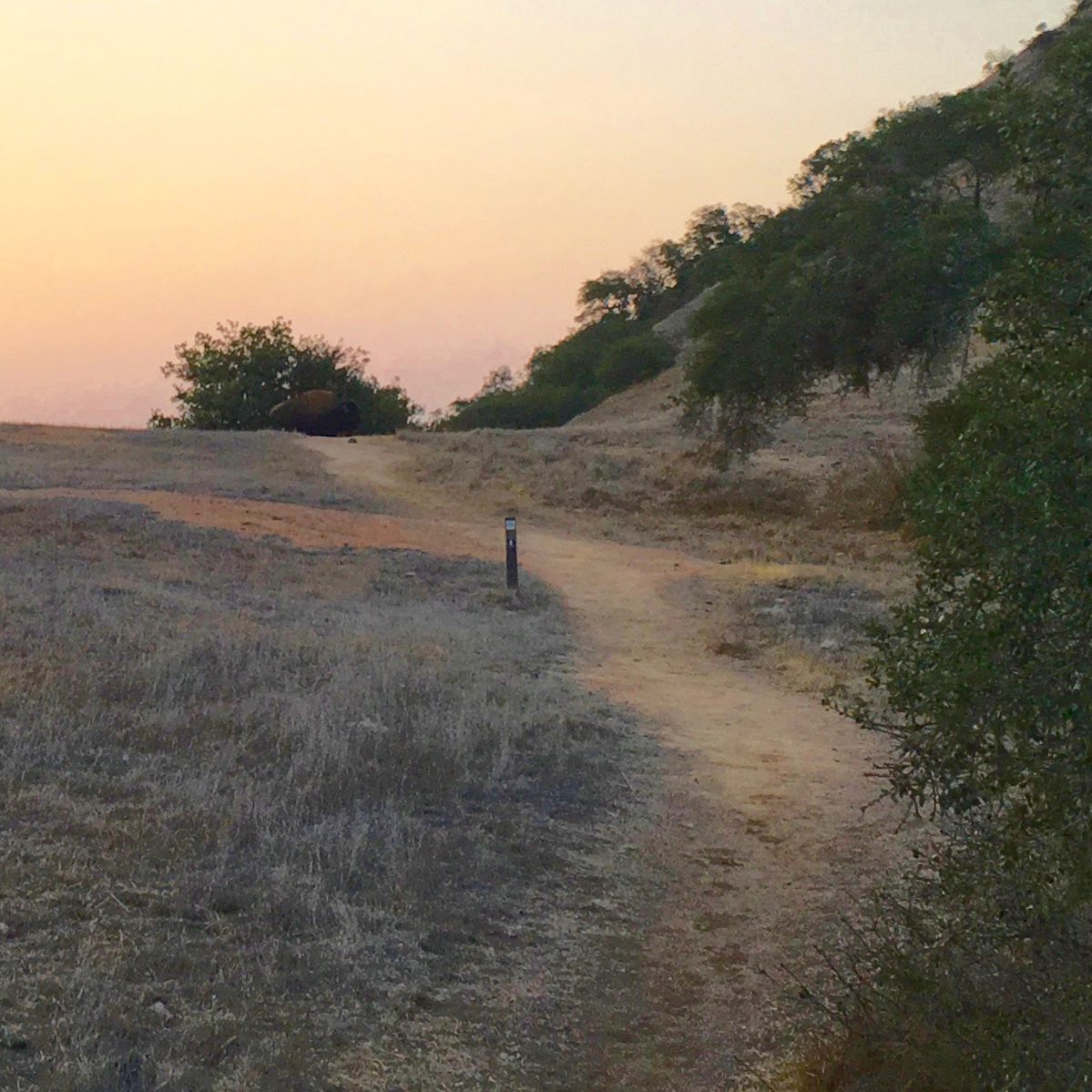
Roadblock: The bison bull blocking the trail (in front of the bush at the end of the trail ahead)
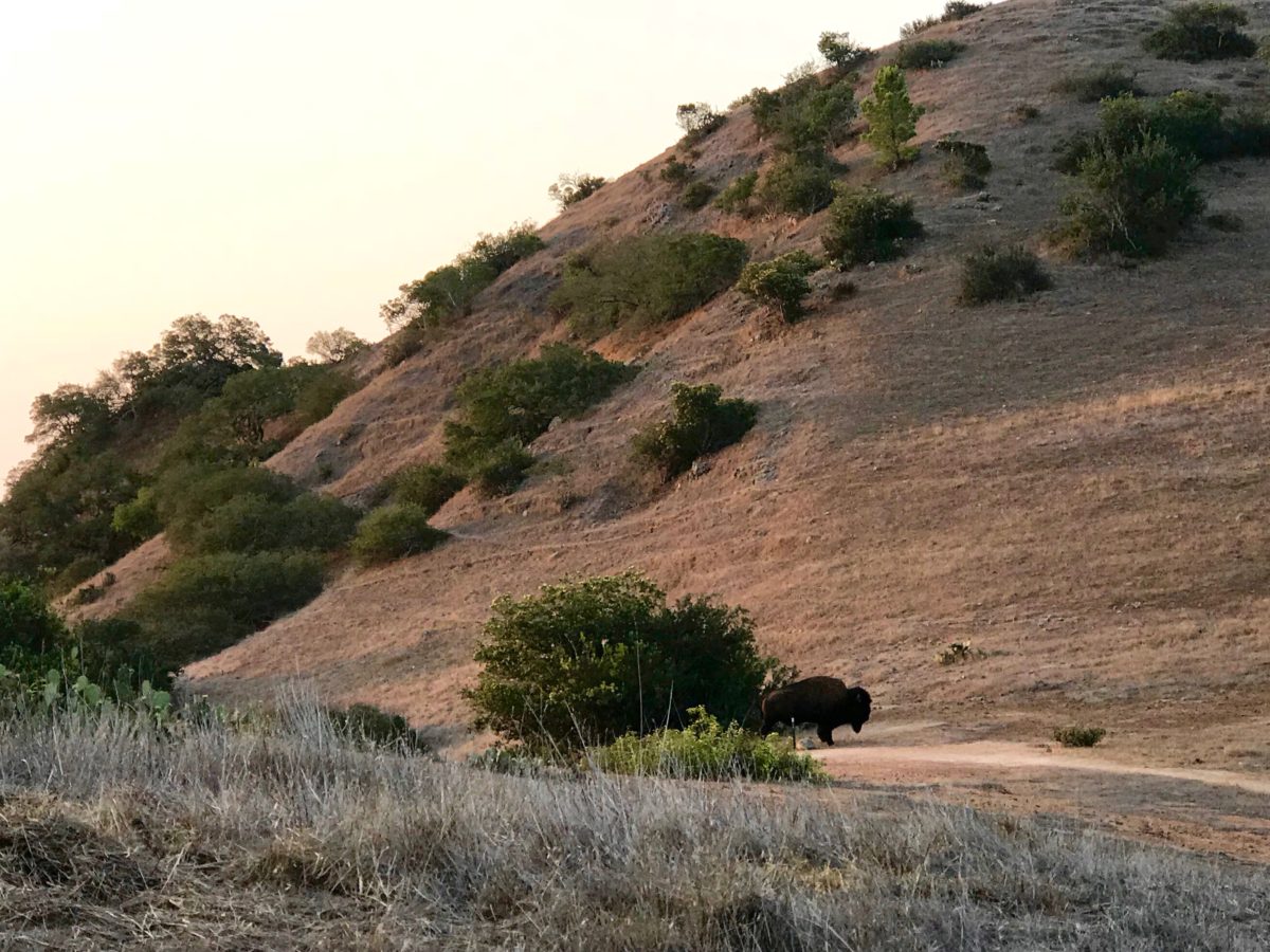
This bull did not move for almost 2 hours!
Finally, the bull gave up and stepped off the trail just long enough for us to get around him. This was the narrow section he was blocking
The TCT intersects with Upper Cape Reservoir Road. Yes, that’s another bison in the center of the picture. Luckily, the trail veered off to the left before it got to him
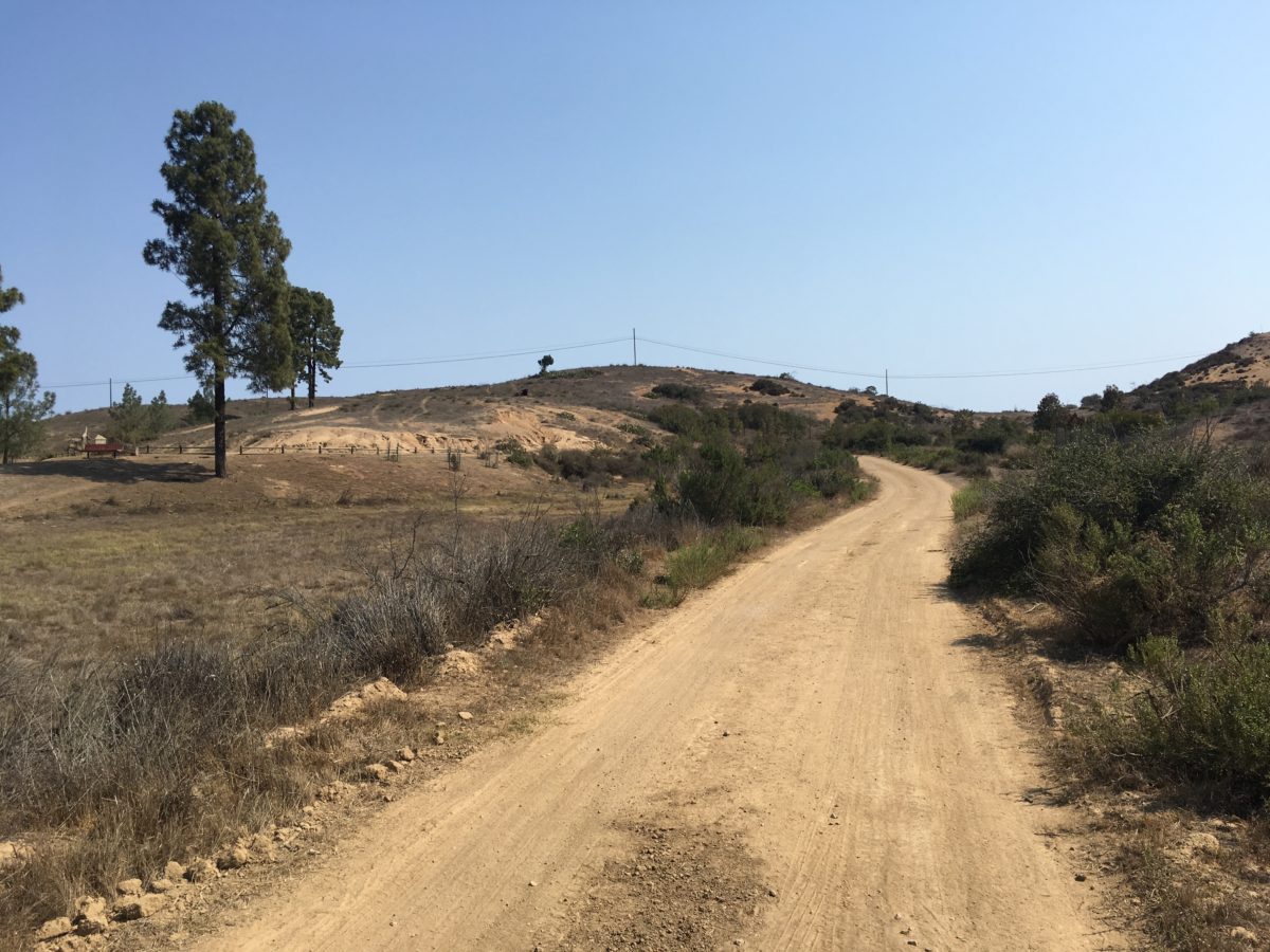
Section 2: Upper Cape Reservoir Road To Skull Ridge Trail [0.5 Miles]
Have had our fill of aggressive bison, we hurried down the trail trying to make up some time for the 2 hours we had lost.
Once on Upper Cape Reservoir road, the trail climbed briefly through a heavily wooded area (with a bench), before continuing steeply upward toward the Skull Ridge Trail.
Upper Cape Reservoir Road
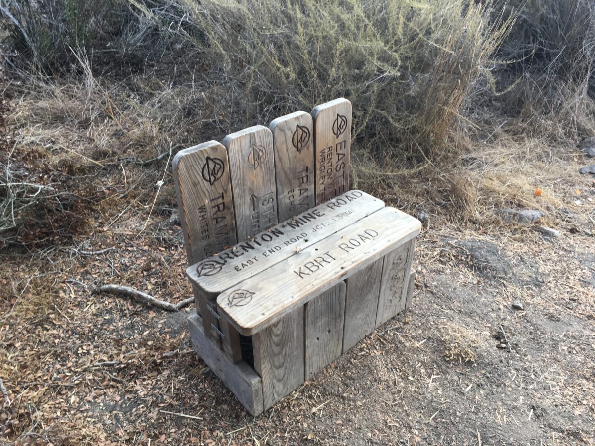
A perfectly-placed bench
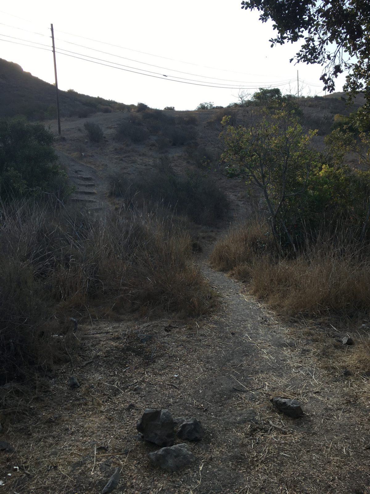
Climbing toward Skull Ridge
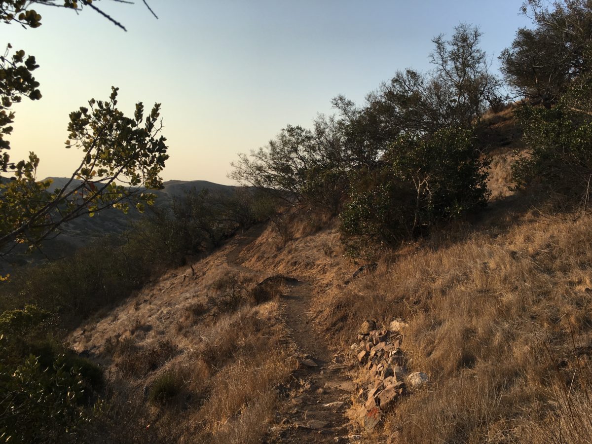
Section 3: Skull Ridge Trail To Middle Ranch Road [1.1 Miles]
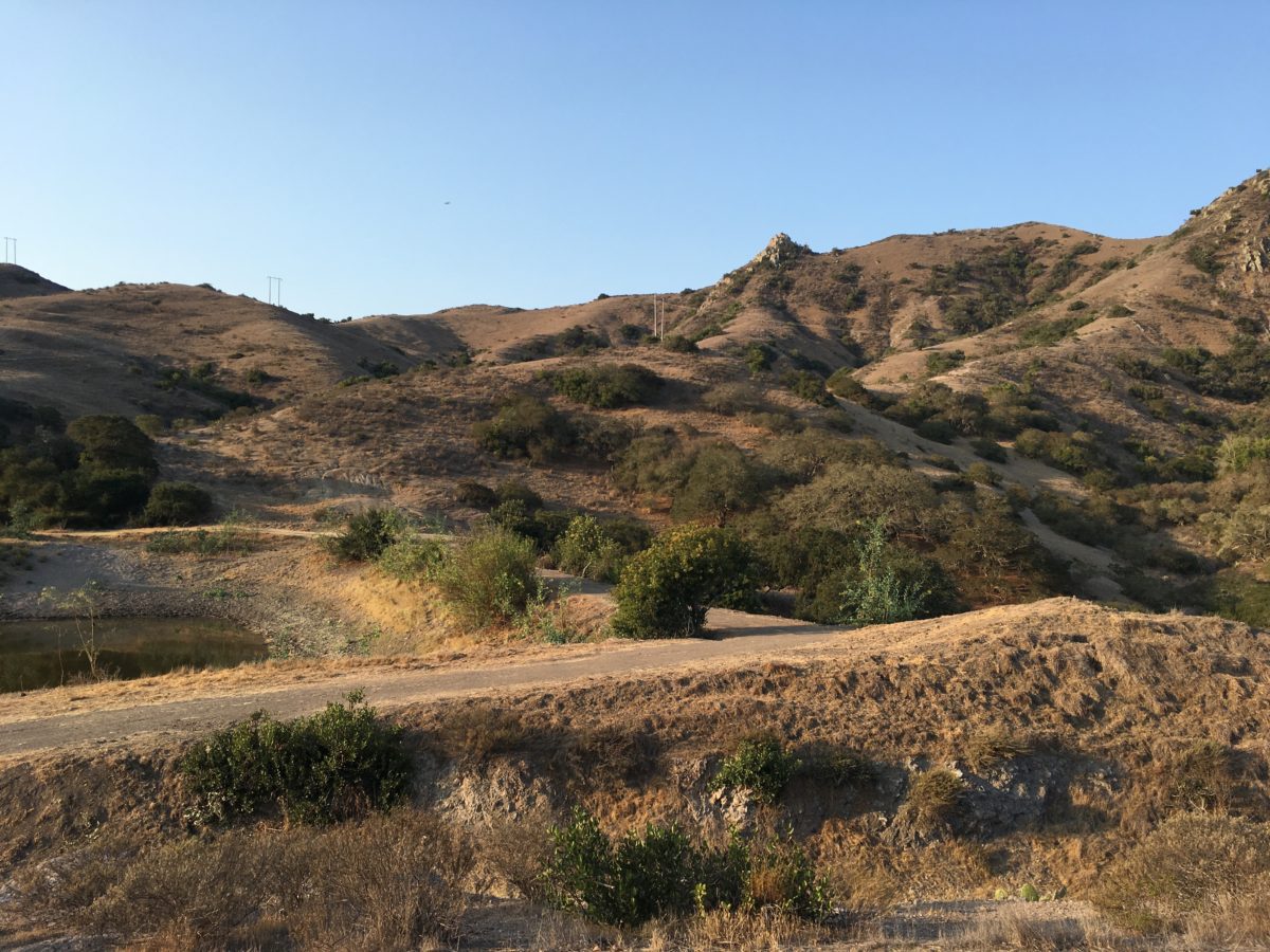
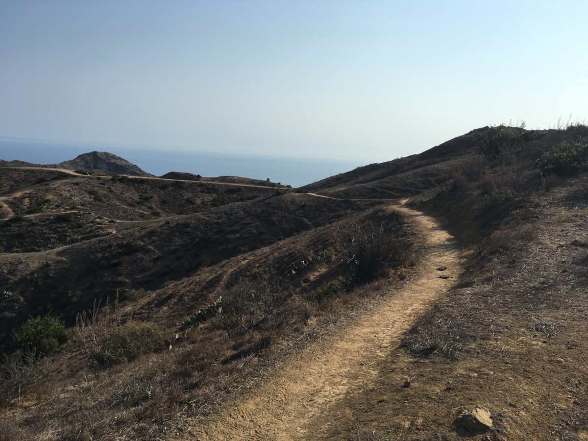
The next section of trail was rather pleasant, trekking through a desert area lush with beaver-tail cactus.
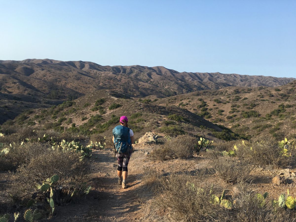
A nice section with great visibility
Section 4: Middle Ranch Road To KBRT Road [0.6 Miles]
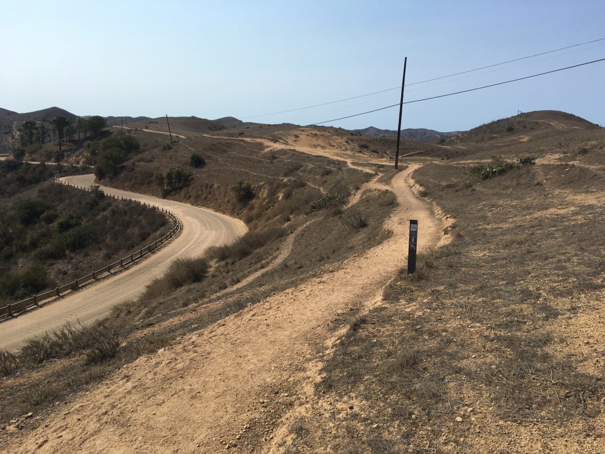
The TCT gently climbed out of the small valley onto a ridge where it intersected with KRBT Road.
The ocean once again popped into view.
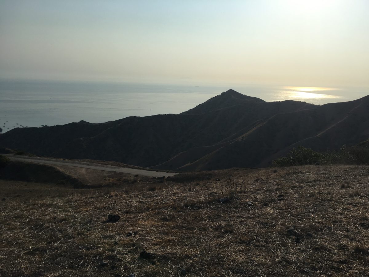
Stunning ocean views in the morning
Section 5: KBRT Road To Hayden Reservoir [1.8 Miles]
We had a quick snack on KBRT Road while we enjoyed views of the island.
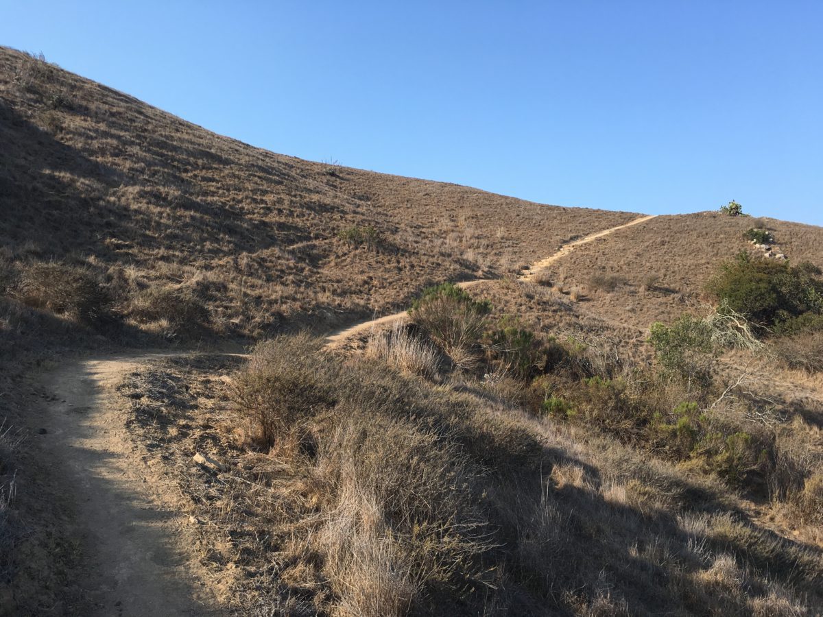
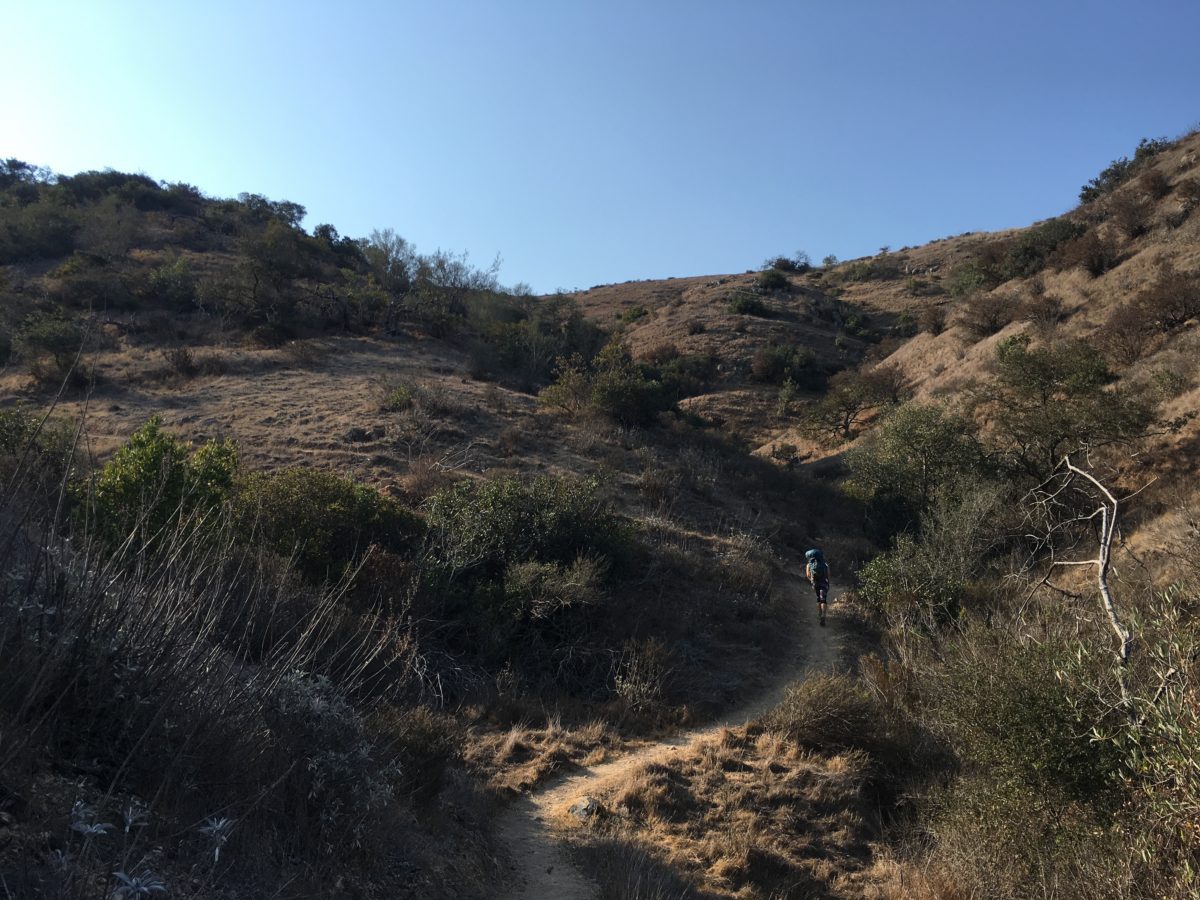
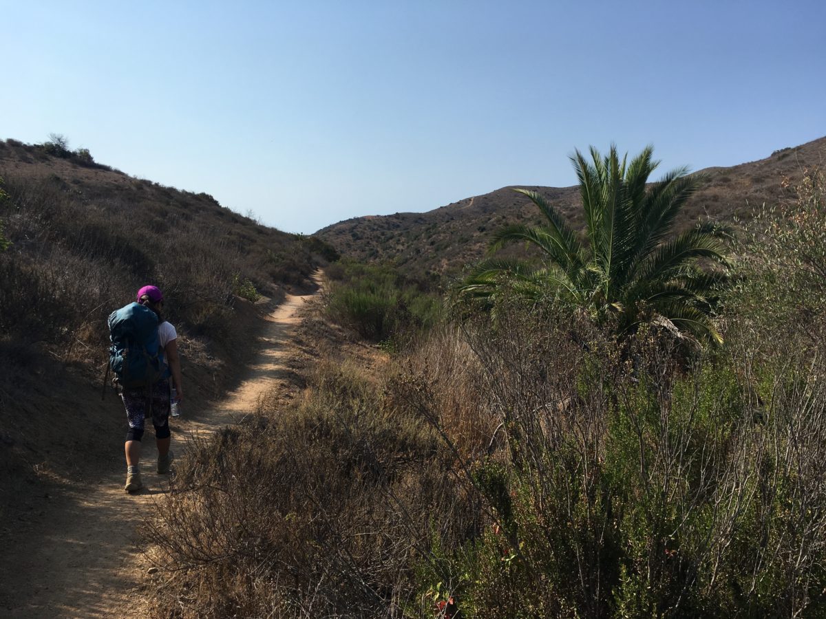
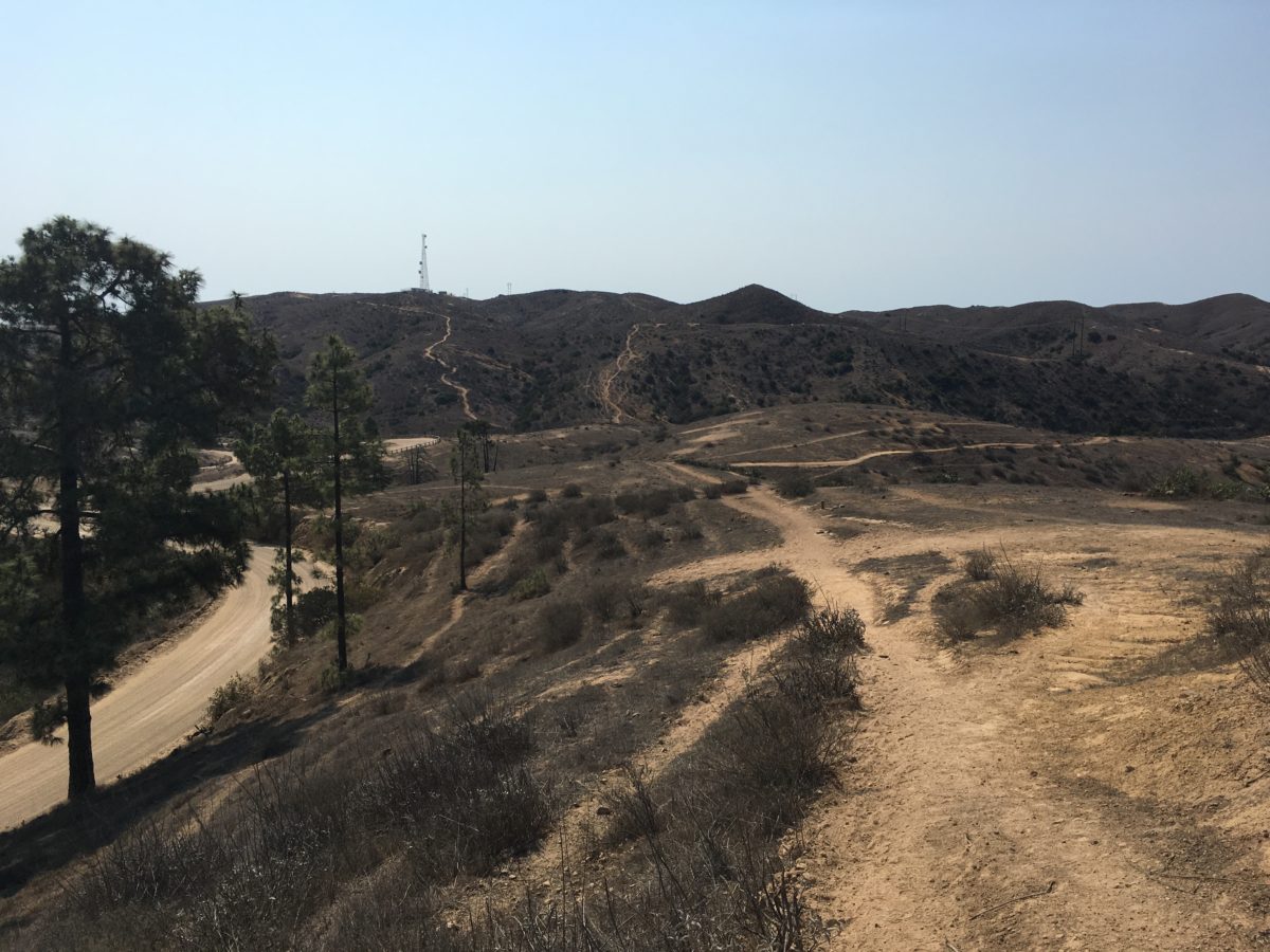
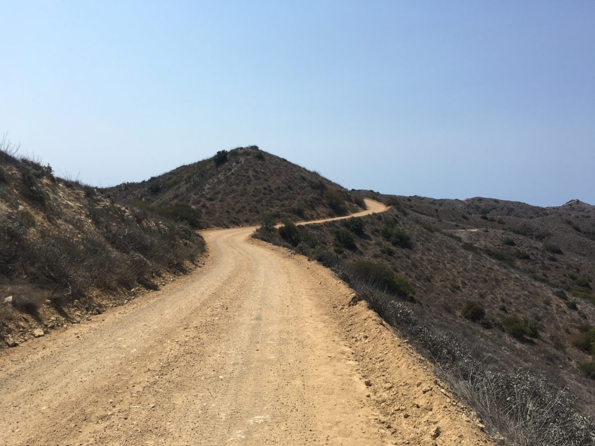
The next section of TCT wound wildly through small valleys, up and down hills, and paralleled Airport Road for a short section of trail.
Ultimately, this section dove down toward the Hayden Reservoir basin before ending at a bison fence.
This section had the highest density of bison. We had to trek slowly in areas with low visibility so as to not surprise, or be surprised, by a bull.
Lots of ups and downs
Small-canyon treks
Ridge-back hikes
Lush vegetation (many places for bison to hide)
FHOP Tip: There is a shade pavilion and a picnic table [with an ocean view] located where this section of the TCT meets Airport Road. It’s the perfect place for lunch at just about the halfway point.
The TCT runs along side Airport Road
Hayden Reservoir lies straight ahead
The Hayden Reservoir (totally dry on the left)
The way out of the reservoir area (with a bison at the top of the hill)
Section 6: Hayden Reservoir To Hermit Gulch Trail [1.9 Miles]
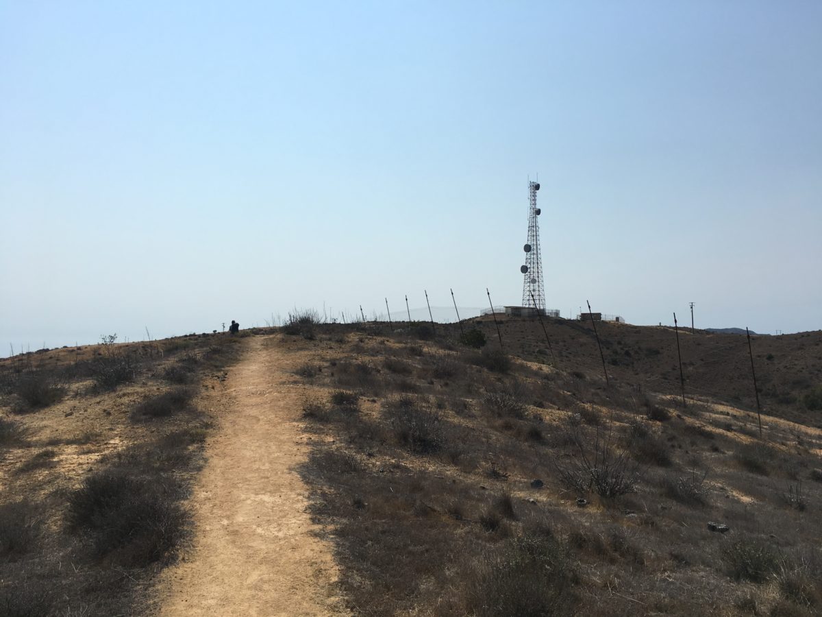
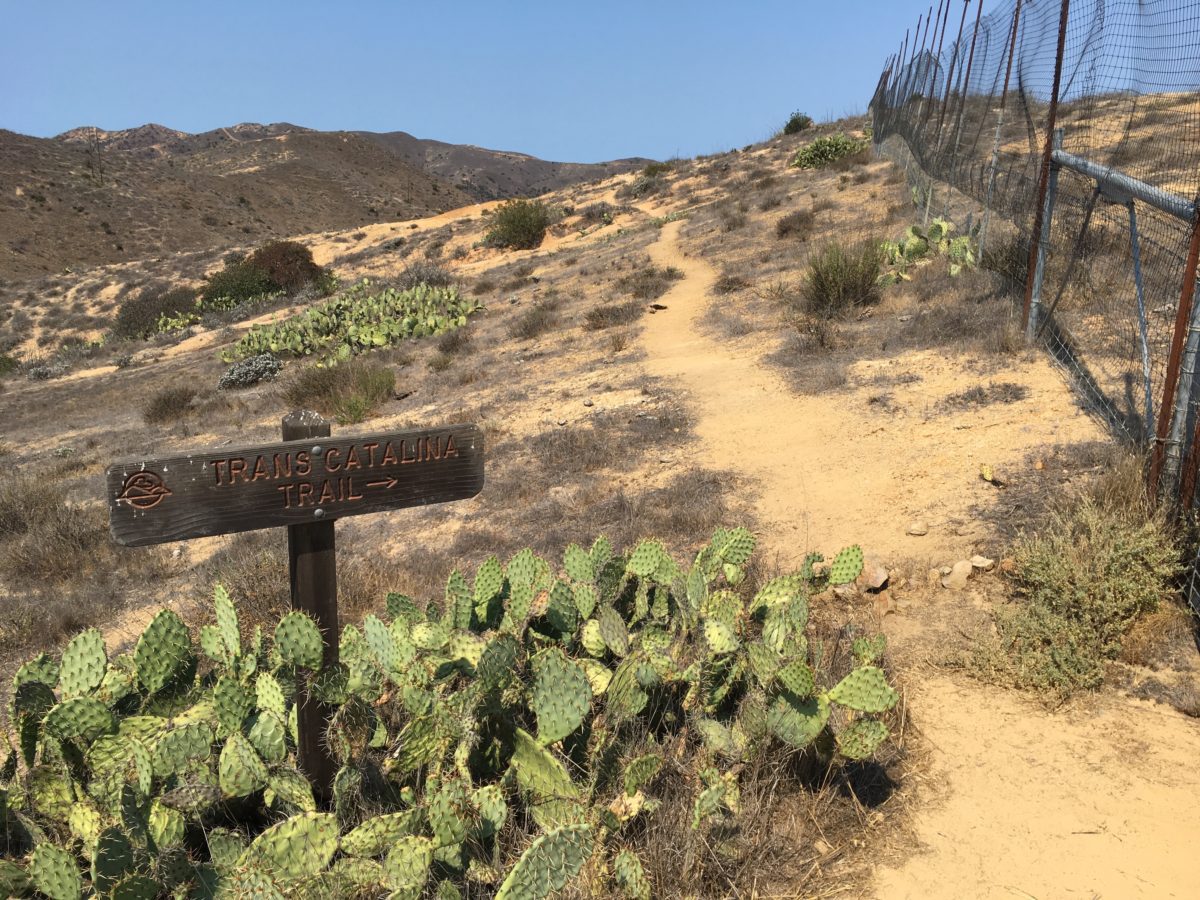
After climbing the hill out of the Hayden Reservoir, we were back on mostly flat dirt trails until we reached the radio tower.
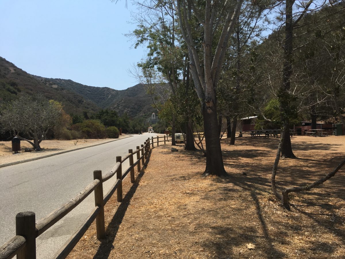
From the radio tower, the TCT joined Divide Road (a completely exposed dirt road) for the duration of the way to the junction with Hermit Gulch Trail.
Walking the fence line
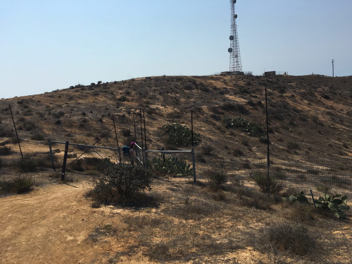
Yet another door in the fence
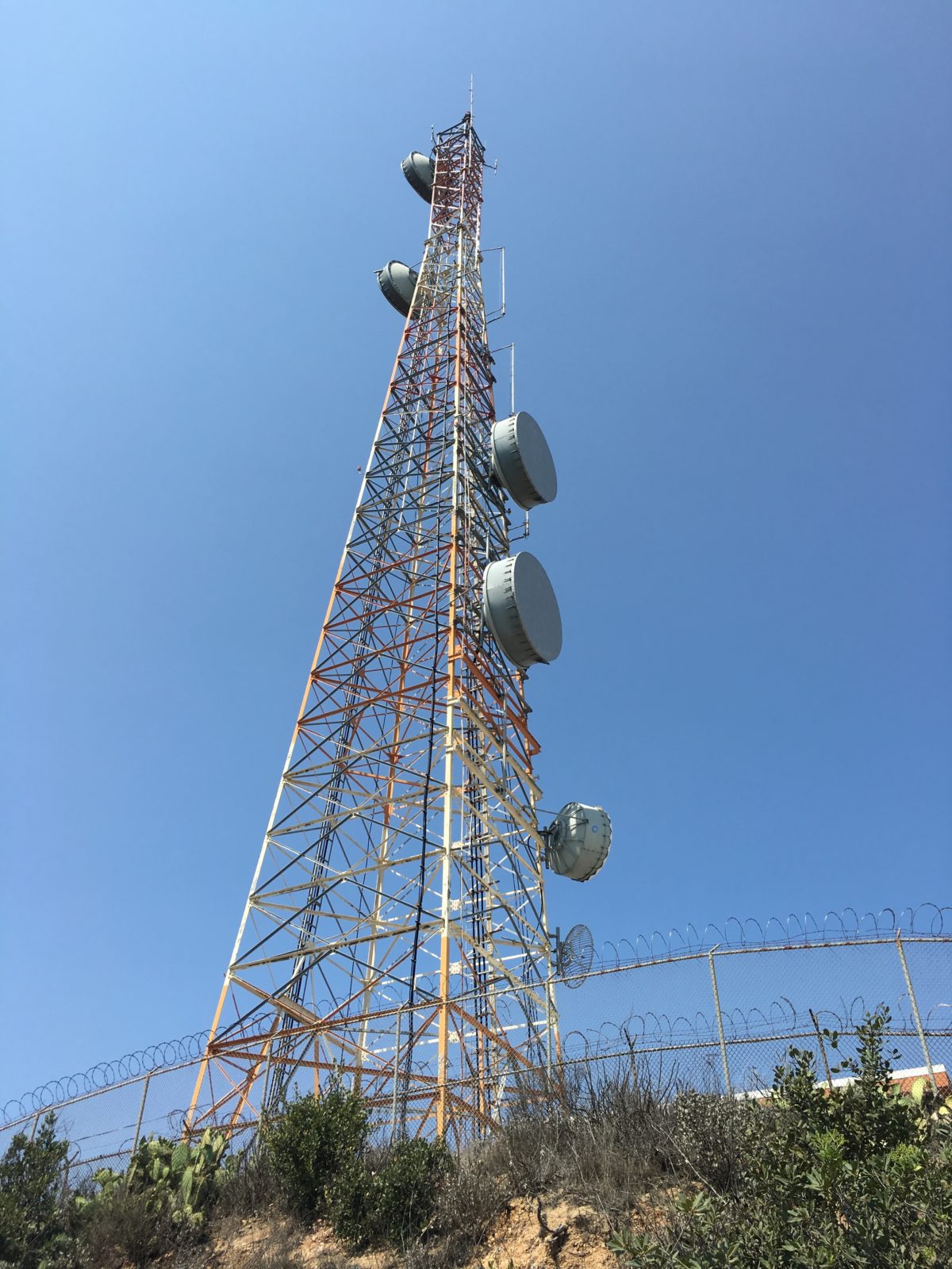
Passing by the base of the radio tower
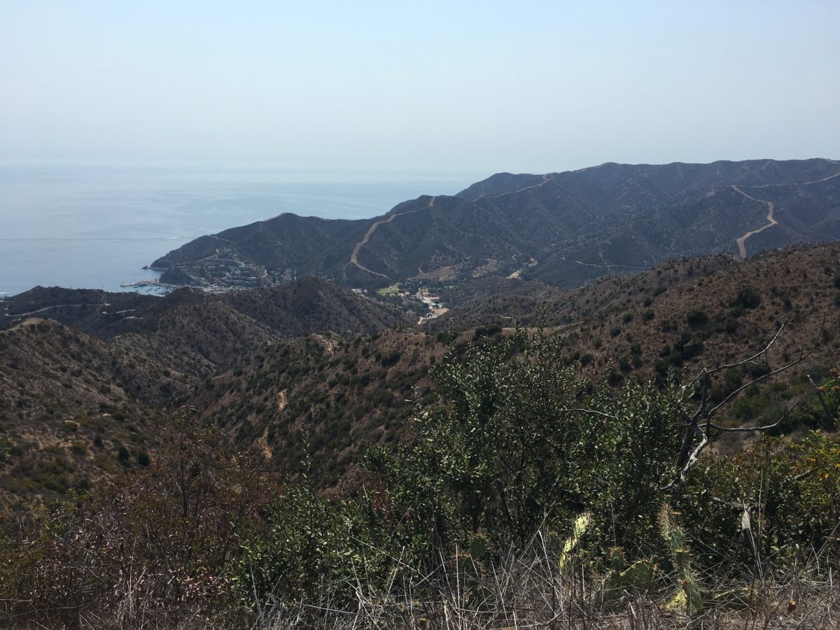
The first glimpse of Avalon from the TCT
One of my least-favorite sections of the TCT. Divide Road
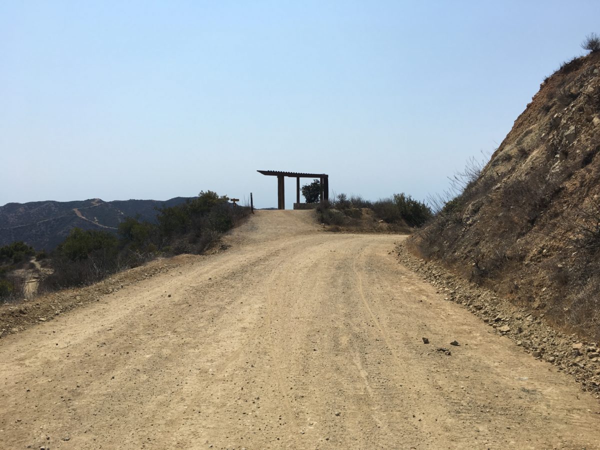
This shade pavilion marked the Hermit Gulch Trail junction
This was the perfect resting spot (with great views) before setting off on the final section of the TCT back to Avalon
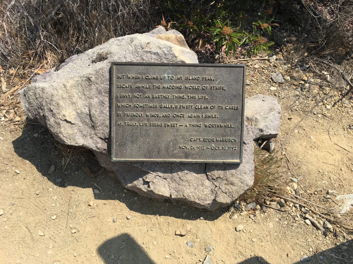
Ode to the island peak
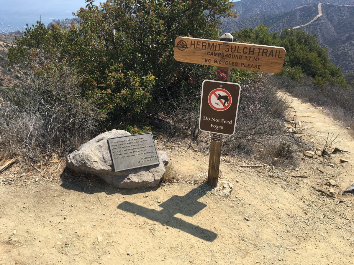
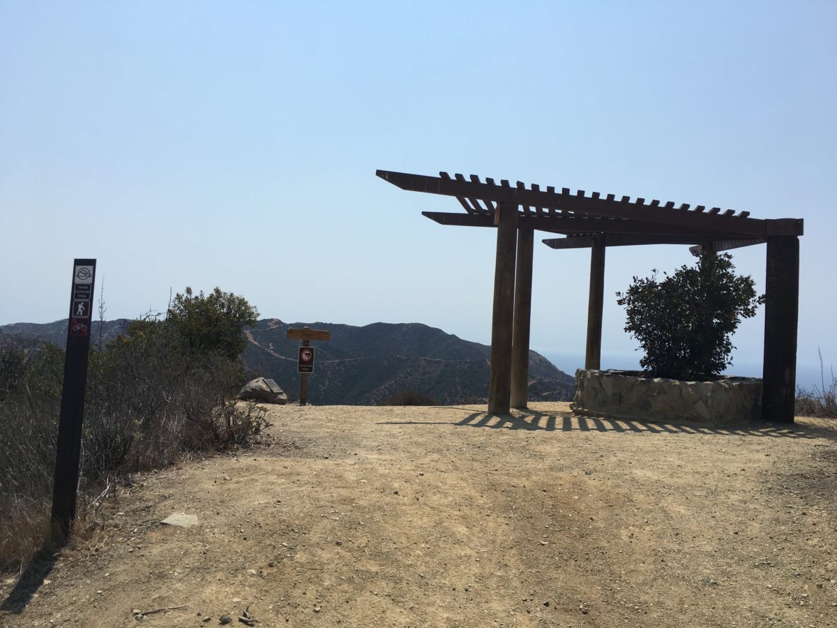
The Hermit Gulch trailhead
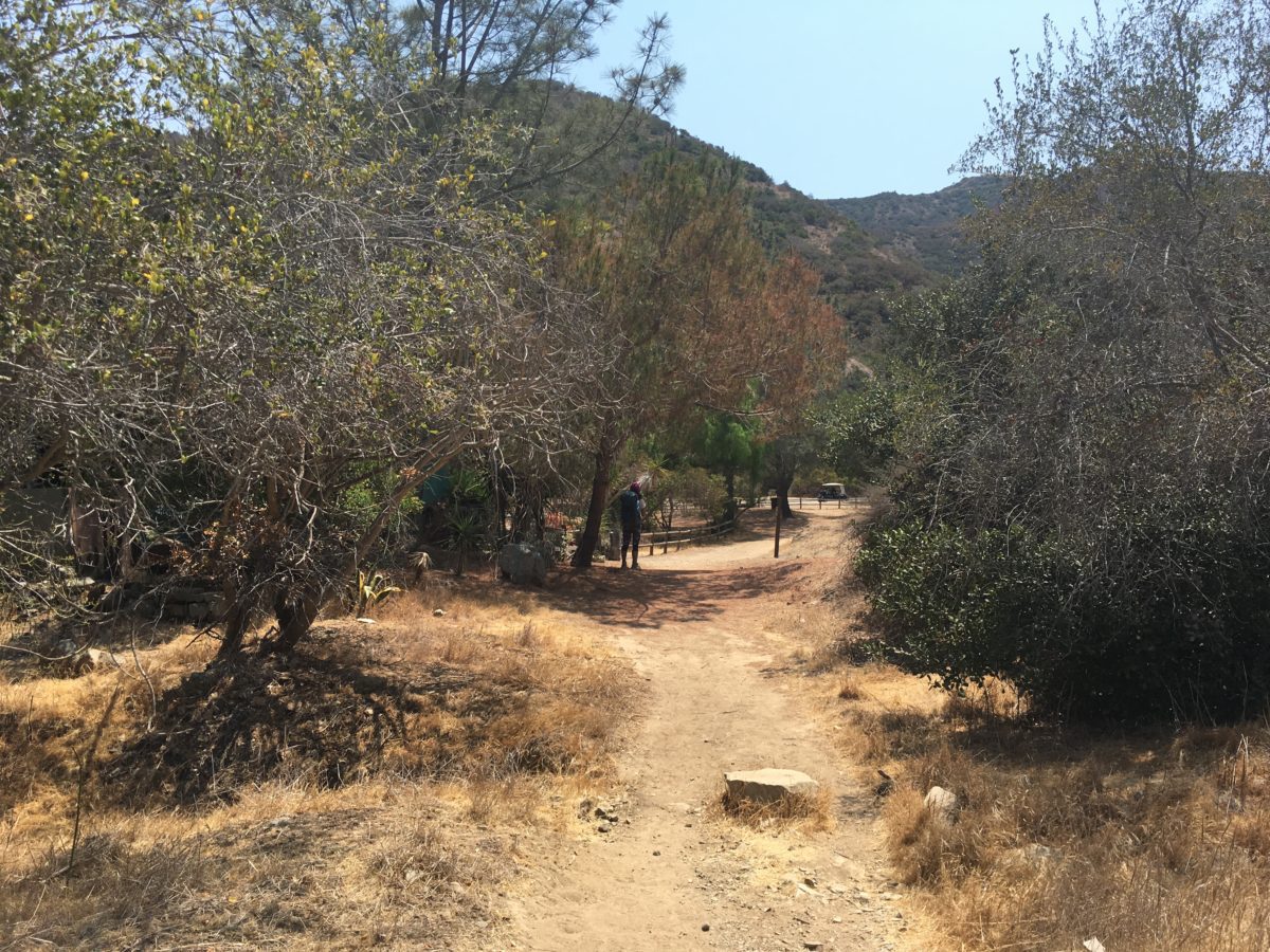
Section 7: Hermit Gultch Trail To Hermit Gultch Campground [1.7 Miles]
At long last, we reached the final section of the TCT.
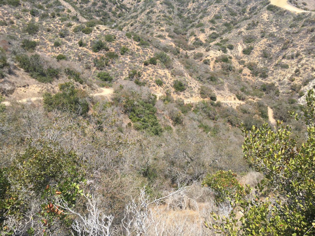
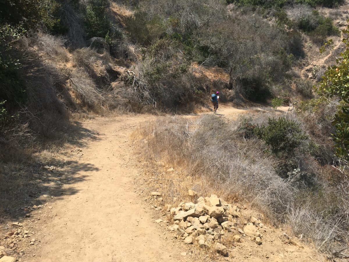
The Hermit Gulch trail was a well-engineered, all-downhill exposed section that led straight to the Hermit Gulch Campground.
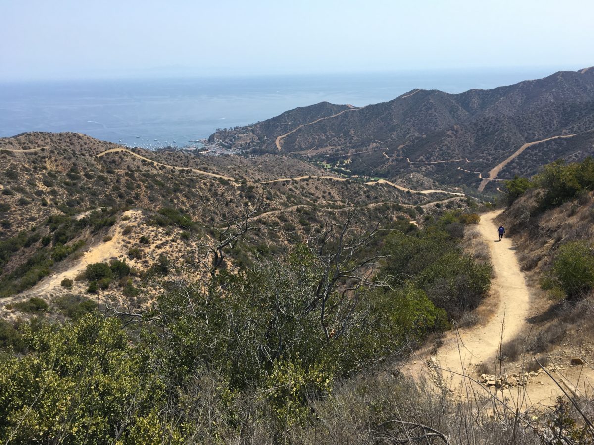
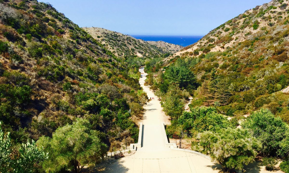
All roads lead to Avalon
Although this trail is not that steep going down, it was almost completely exposed to the sun
The end of the TCT
The end is the beginning is the end: The TCT trailhead (northbound)
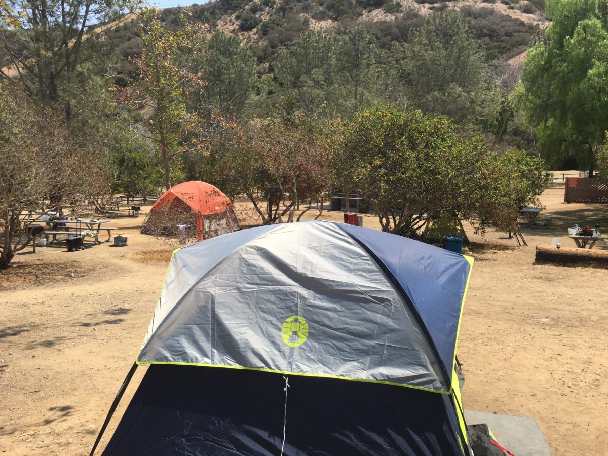
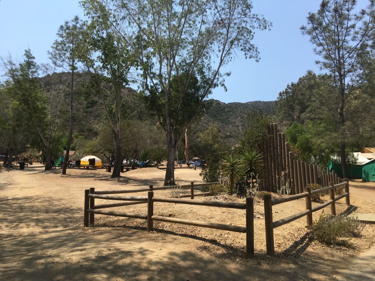
Arrival At Hermit Gulch Campground
Hermit Gulch Campground was huge and almost entirely full.
A huge campground
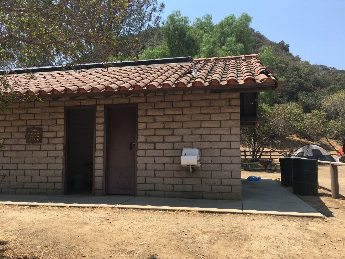
Restrooms and water
The Wrigley Memorial And Botanical Garden is visible at the end of this road (past Hermit Gulch Campground on the left)
Visiting Wrigley Memorial & Botanical Garden
We decided to check-out the Wrigley Memorial and Botanical Garden before continuing on to Avalon.
Click here for my post on Wrigley Memorial and Botanical Garden
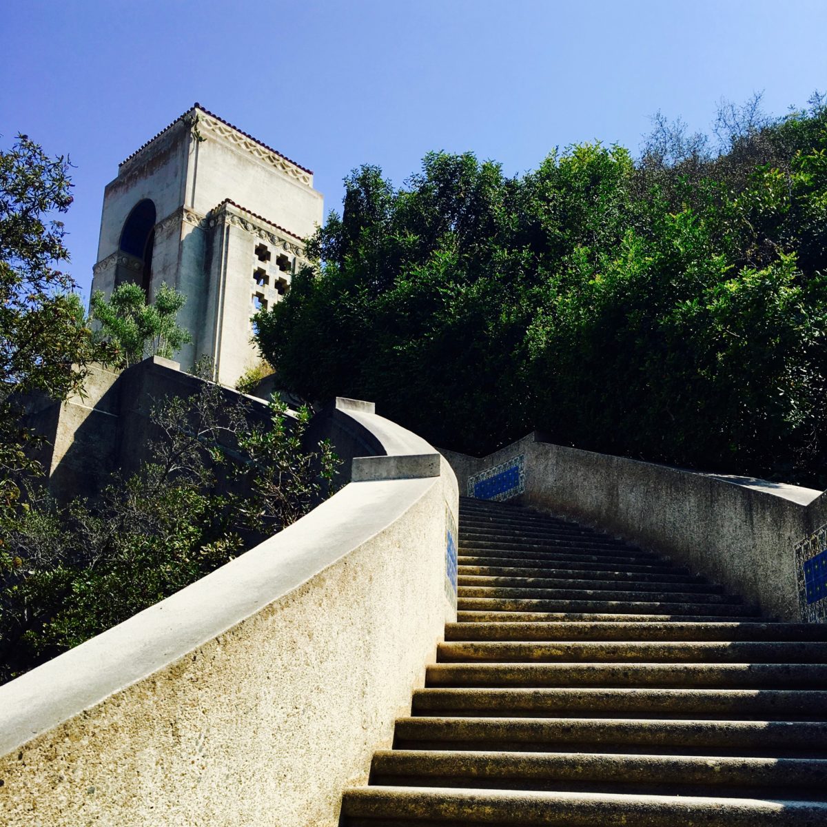
Wrigley Memorial
Botanical Garden
The Walk To Avalon [2.0 Miles]
From Wrigley Monument and Botanical Garden it was another a final 2 mile walk to Avalon’s Cabrillo Peninsula, the location of Catalina Express.
It was there we boarded the boat and officially ended our Trans-Catalina Trail adventure with some cocktails while crossing the channel back to the mainland.
Avalon Bay
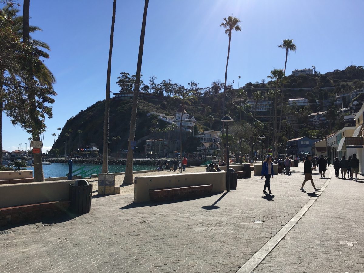
Avalon Boardwalk
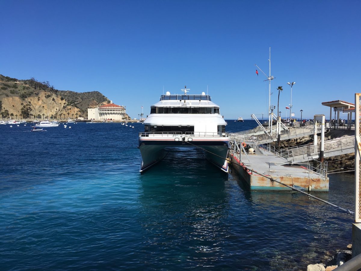
Catalina Express hydrafoil
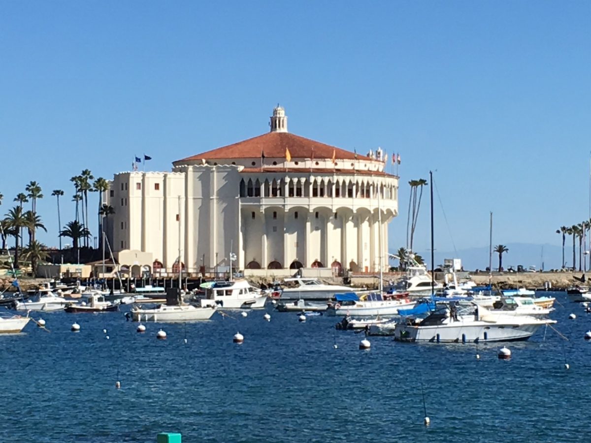
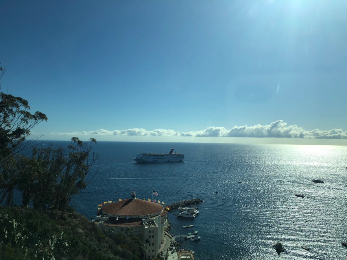
The famous Casino Ballroom of Catalina Island
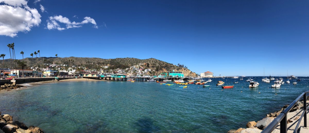
Goodbye Catalina! (Panoramic Photo of Avalon Bay)
Final Thoughts: Hiking The Trans-Catalina Trail (TCT): Part 5 – Black Jack Campground To Avalon (Catalina Island, CA)
All-in-all, hiking the Trans-Catalina Trail was a challenging and epic adventure, as well as an apex California through-hiking experience.
Sure, we had our fair share of “less-than-ideal” situations including illnesses, wind-storms, aggressive bison, sun-exposure, and ultra-steep sections of trail, but it was all completely worth it for the overall amazing experience we got in the end having trekked 50+ miles of the island in 5 days.
From the sweeping lush coastline of the Western tip, to the rugged desert wilderness of the vast interior, Catalina Island is a wonderland of great natural beauty – and the best possible way to see it is on the TCT.
Cheers!