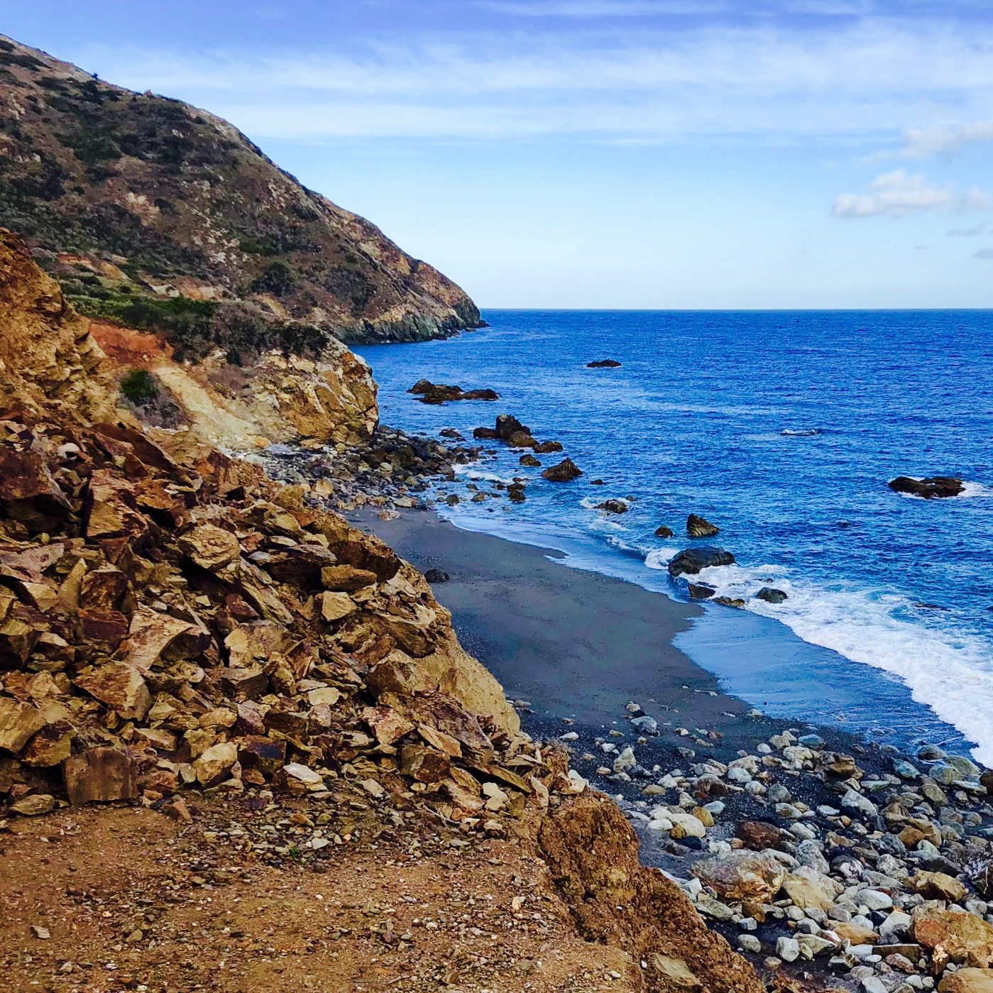
After a nearly perfect first day on the Trans-Catalina Trail (TCT), we were ready to tackle our second day.
The plan was to start off “Day 2” with an early morning side-trip to Starlight Beach, then return to our camp at Parsons Landing for lunch, before rejoining the TCT and setting off for Two Harbors Campground.
Hiking The Trans-Catalina Trail: Part 2 – Parsons Landing To Two Harbors With Starlight Beach (Catalina Island, CA)
As a refresher, here was our planned 5 day itinerary:
- Day 1: Two Harbors to Parsons Landing Campground [7.6 Miles]
- Day 2: Parsons Landing Campground to Two Harbors Campground [7.2 Miles] (with the Starlight Beach spur trail [9.2 Miles])
- Day 3: Two Harbors Campground to Little Harbor Campground [5.9 Miles]
- Day 4: Little Harbor Campground to Black Jack Campground [9.7 Miles]
- Day 5: Black Jack Campground to Avalon [11.7 Miles]
Morning Side-Trip To Starlight Beach (Loop): Section 1 – Parsons Landing To The Old West End Road Junction [2.6 Miles]
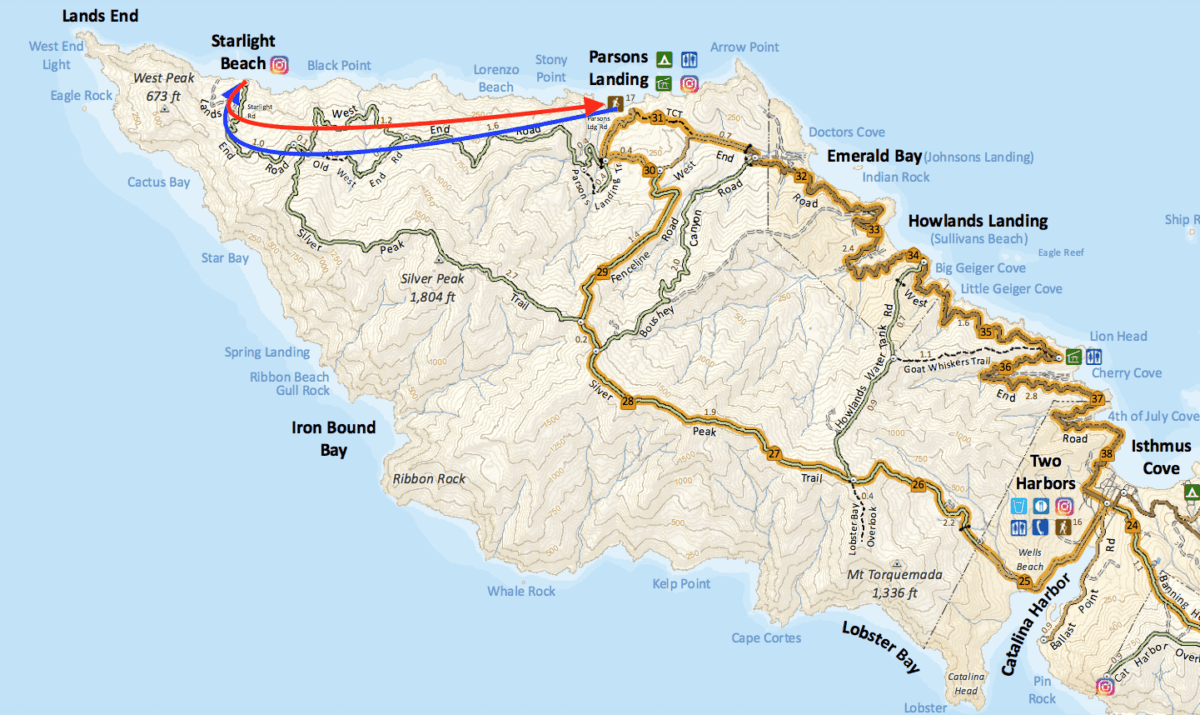
We took the Old West End Road (the blue arrow) to Starlight Beach, and returned on the [new] West End Road (the red arrow)
Although this was a “side-trail”, the mileage from this spur would actually be longer than the mileage we’d clock on the TCT later in the day.
This side-trip was still 4.6 miles each way [9.2 miles total] and would take about 4 hours to complete. Still, we figured we could leave by 6:00 am and be back at camp by 10:00 am.
Did I mention it was early?
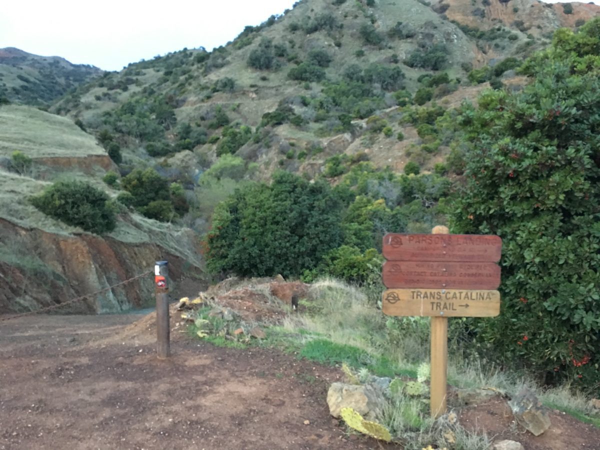
Follow the signs for the TCT
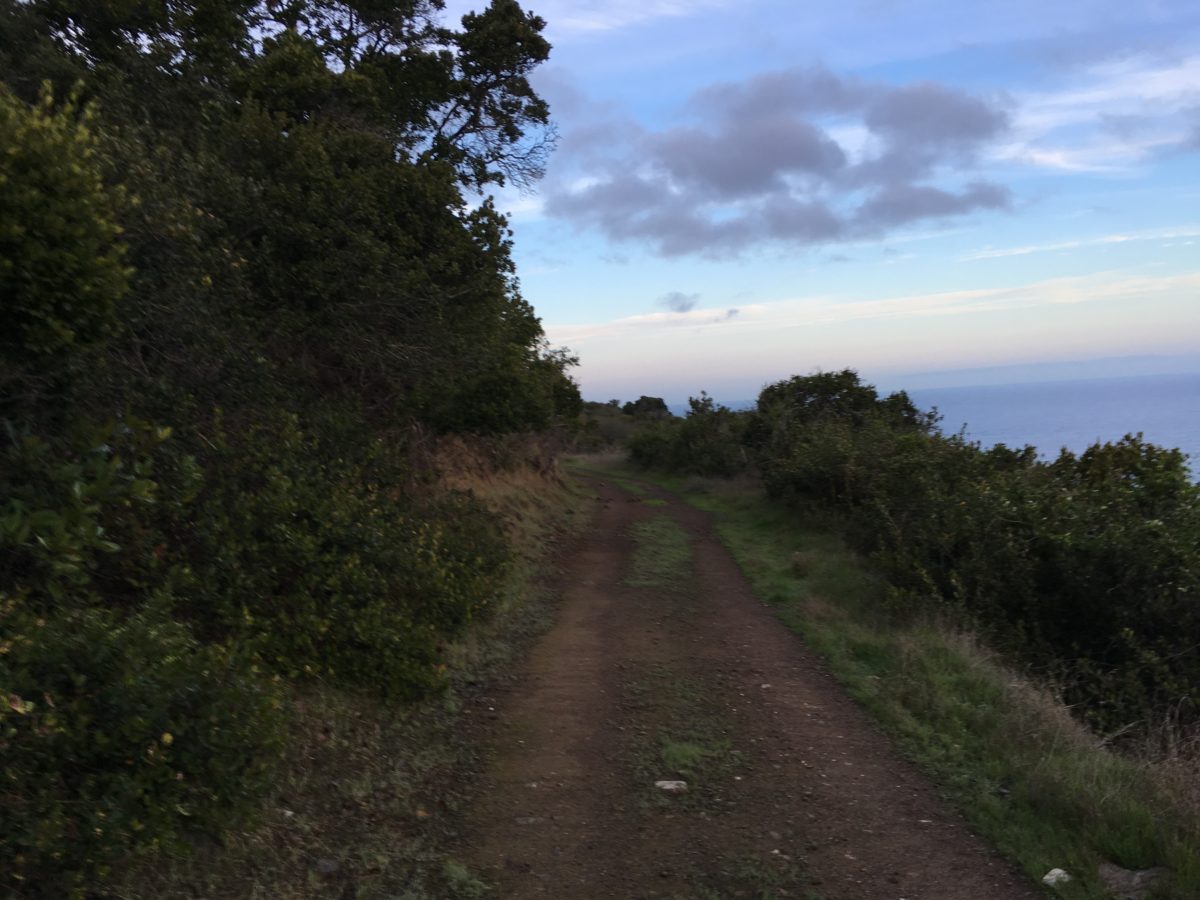
This section almost looks like Hawaii
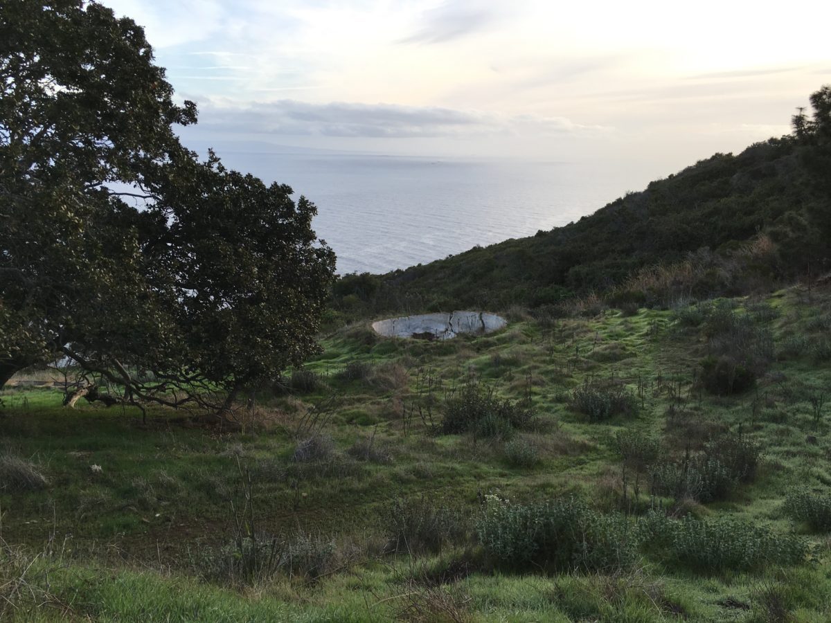
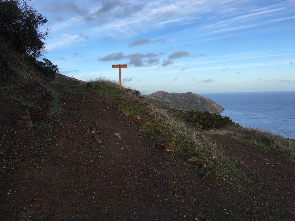
After about 2 miles, we made to the junction. We opted for the Old West End Road going there, and the [new] West End Road for the return
Morning Side-Trip To Starlight Beach (Loop): Section 2 – The Old West End Road To Lands End Road & Starlight Beach [2.0 Miles]
From the Junction, the road began to get noticeably more rocky, but it was pretty level for the most part.
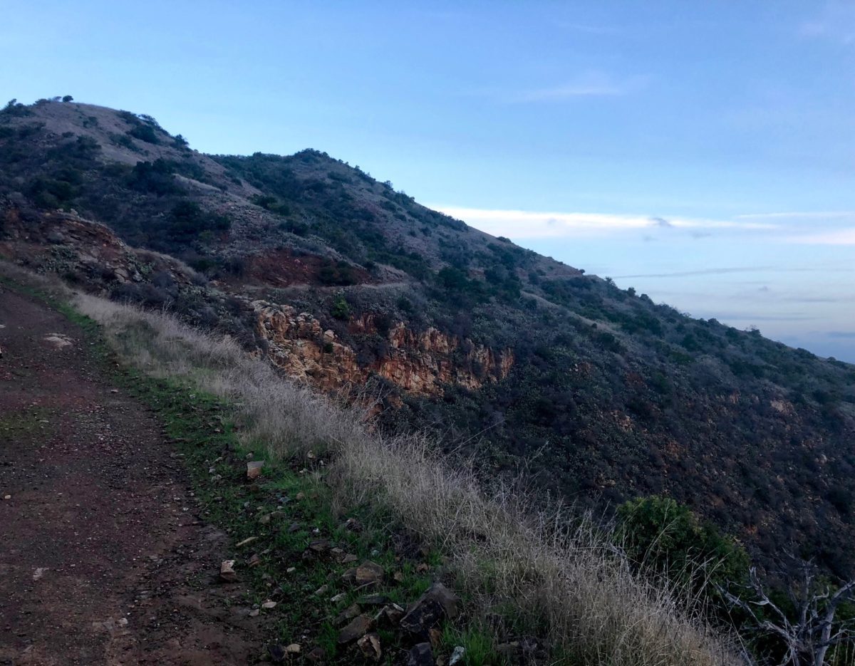
Soon we came to the point below.
At first, we followed the path straight and attempted to stay on trail by continuing on what looked like an old goat trail. That is, until we realized there were treacherous sink holes and sheer drop-offs; I quickly realized this section of trail was far too dangerous to be a part of the official trail.
We backtracked and discovered the trail actually went up the “rock stairs” on the left in the picture below.
FHOP Tip: I placed an “rock arrow” on the ground in hopes of preventing unsuspecting hikers from making the same (potentially hazardous) mistake we did. Continue on the trail by climbing the rock stairs on the left.
Why is there no signage here [Catalina Conservancy]?
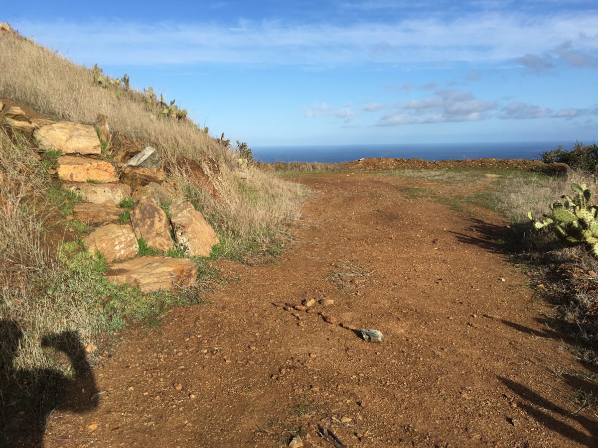
DO NOT GO STRAIGHT! The Trail continues up these rock “stairs” on the left. I placed a rock arrow in the dirt as a guide
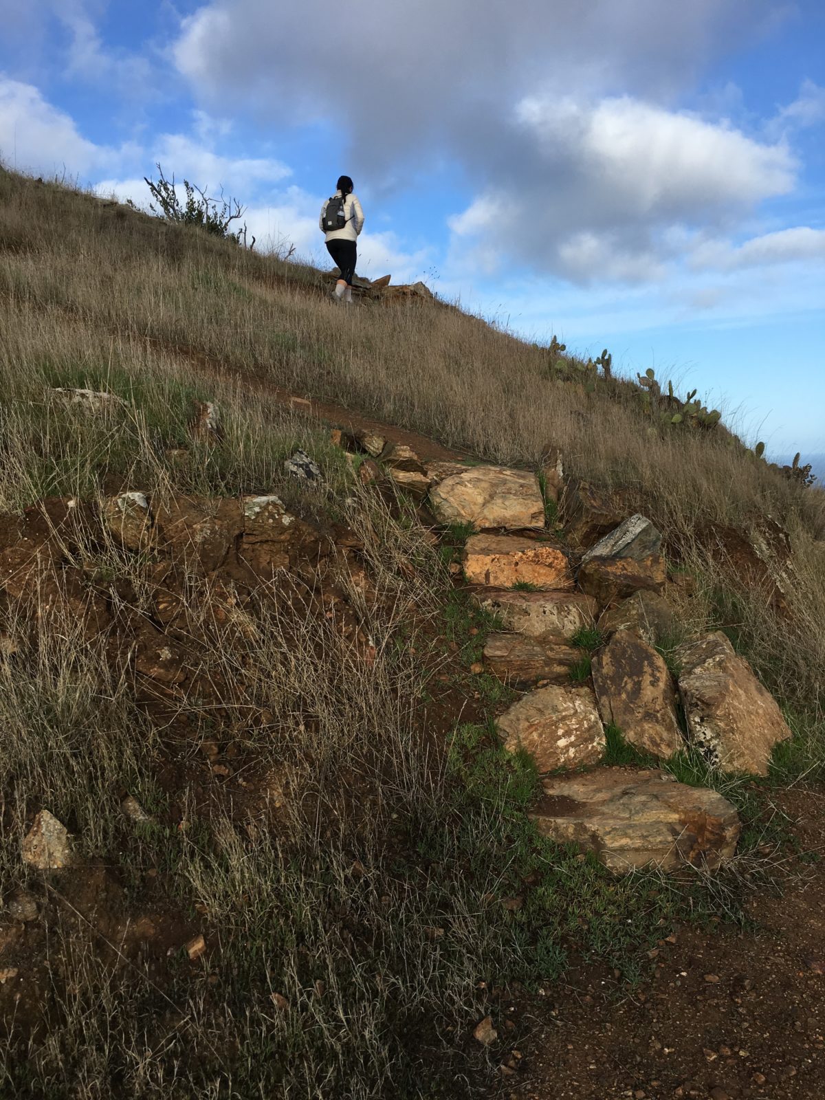
This is the right way!
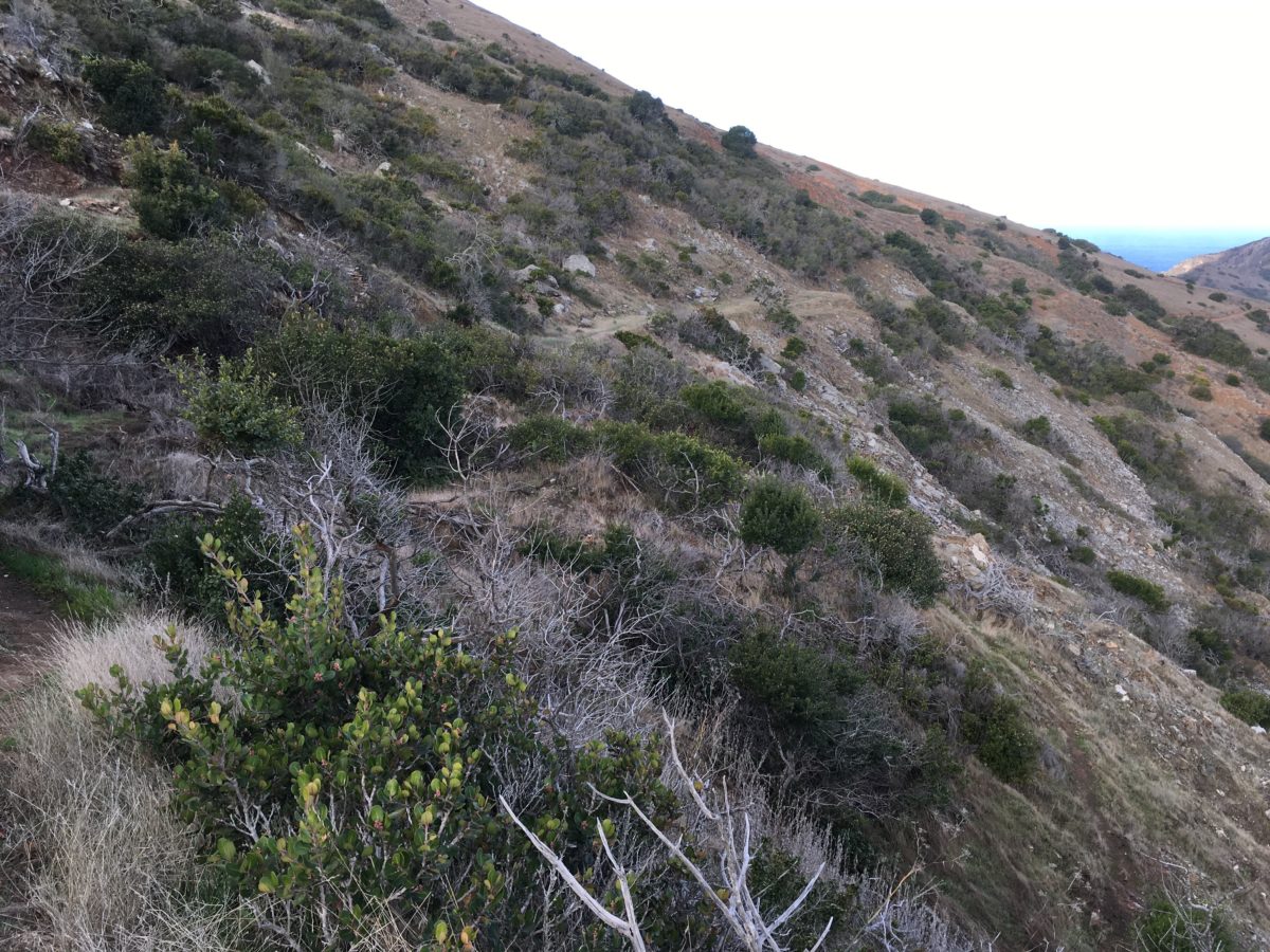
This is more like it
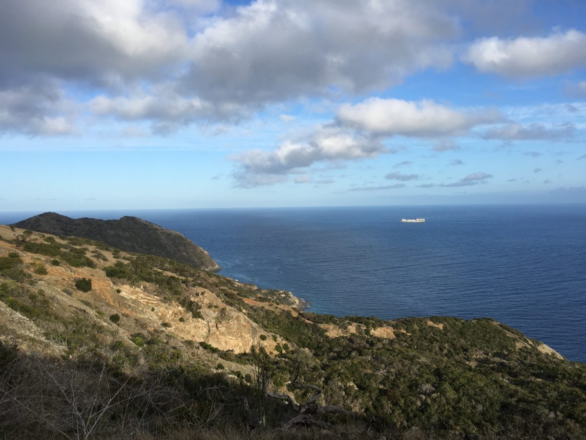
Starlight Beach is straight ahead
Arrival At Starlight Beach:
Truth be told, Starlight Beach was a little anti-climatic. The Lands End trail was extremely steep and the beach was quite rugged and rocky.
The journey was definitely better than the destination. I’m glad I did it, but I probably wouldn’t do it again.
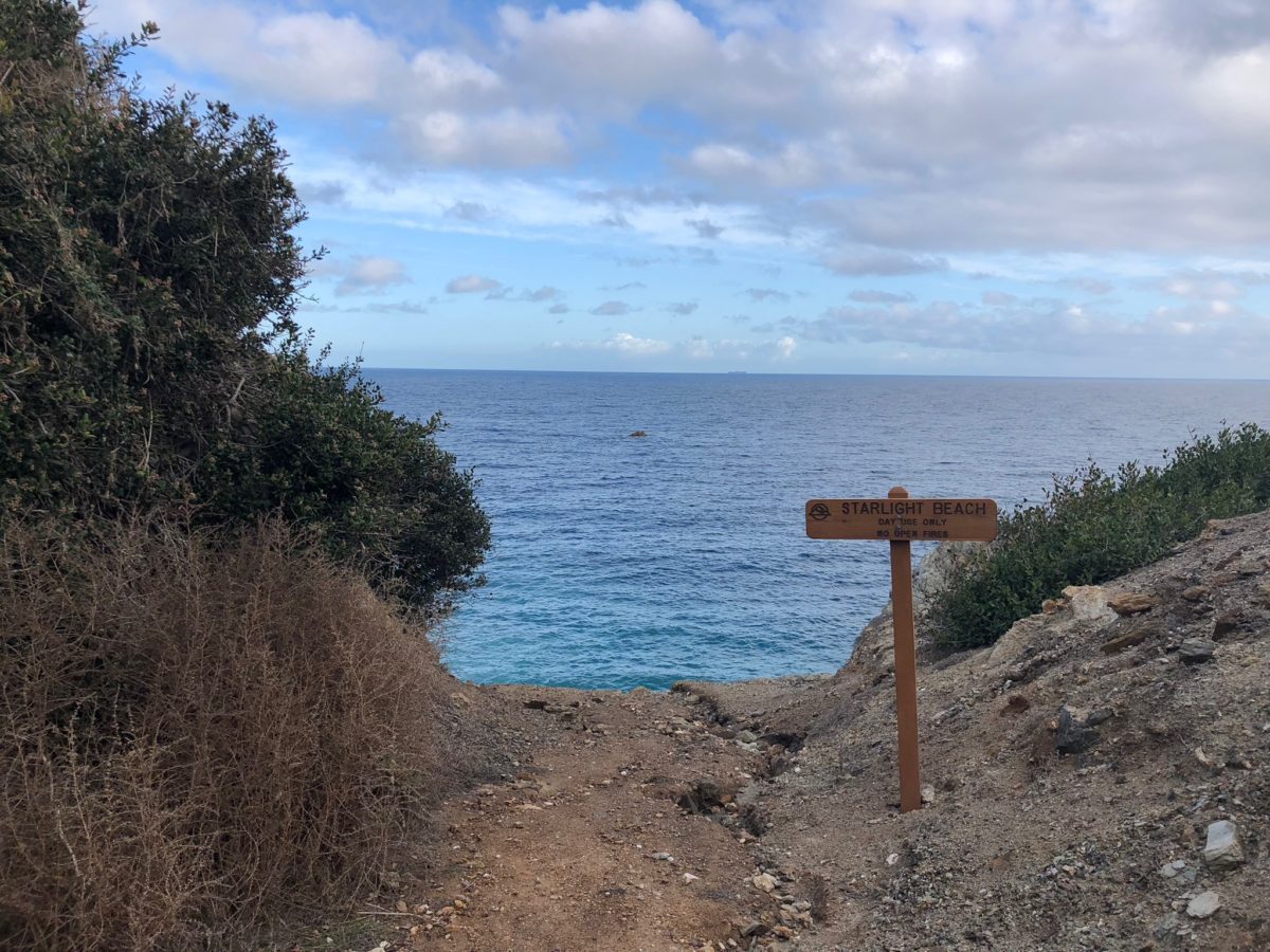
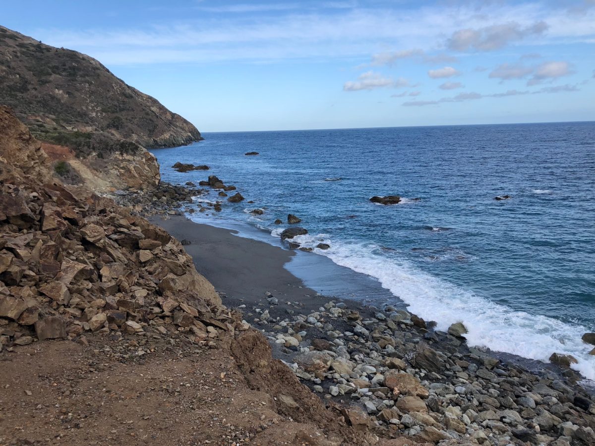
Starlight Beach
Morning Side-Trip To Starlight Beach (Loop): Section 3 – Starlight Beach To Parsons Landing (Via West End Road) [4.6 Miles]
From Starlight beach, we returned to Parsons Landing via the [new] West End Trail.
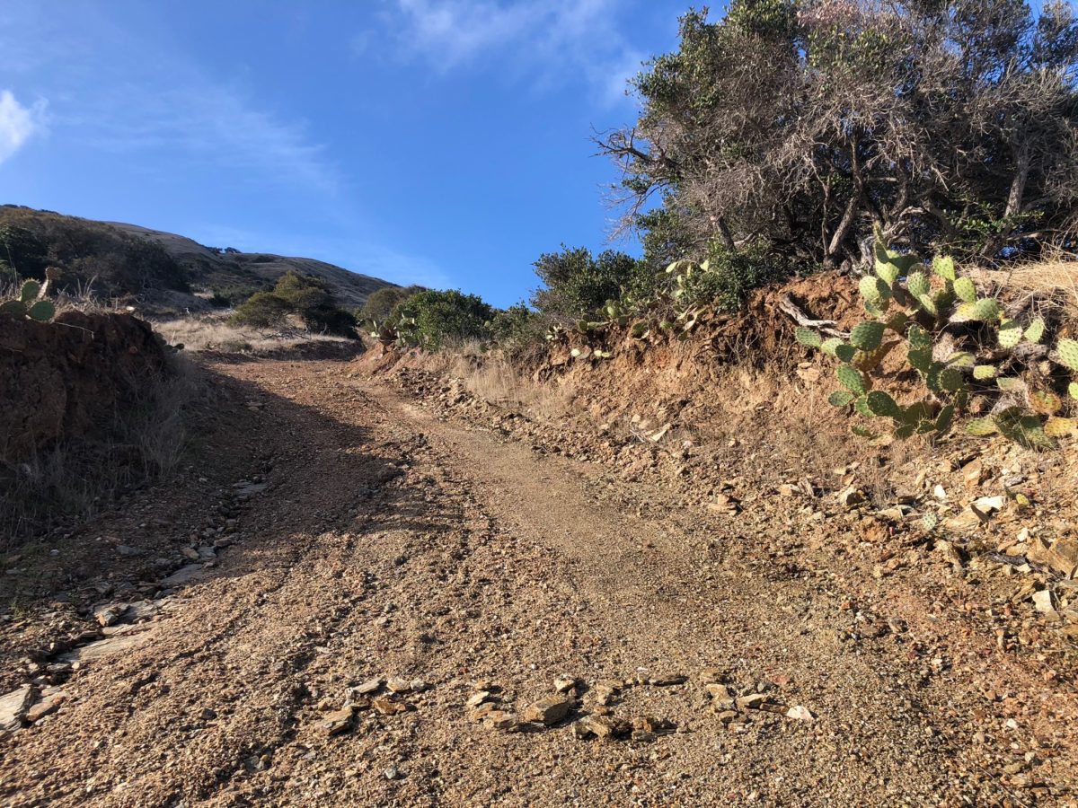
The climb out of Starlight Beach was steep. How steep? Somebody (not me) had already written the only reasonable sentiment with rocks on the road
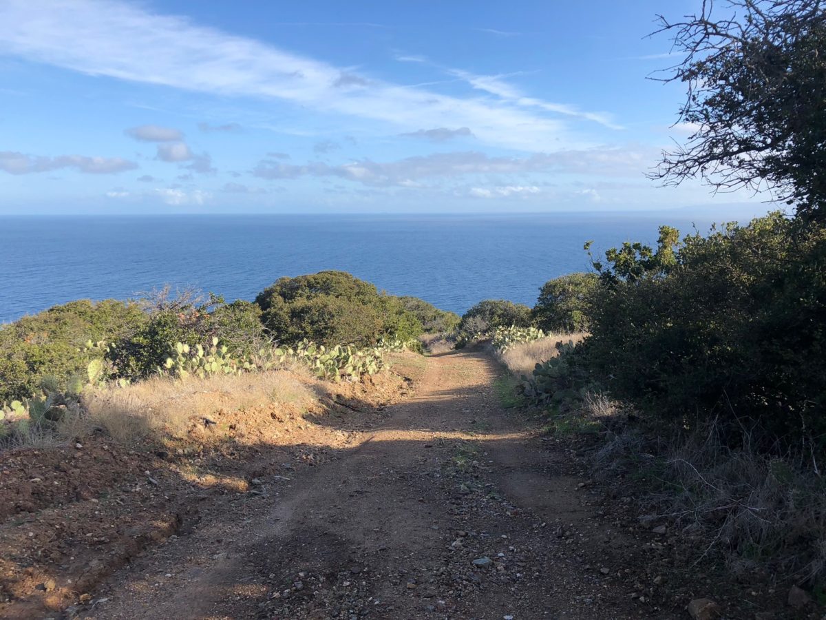
Once back on West End Road, we were again rewarded with incredible ocean views
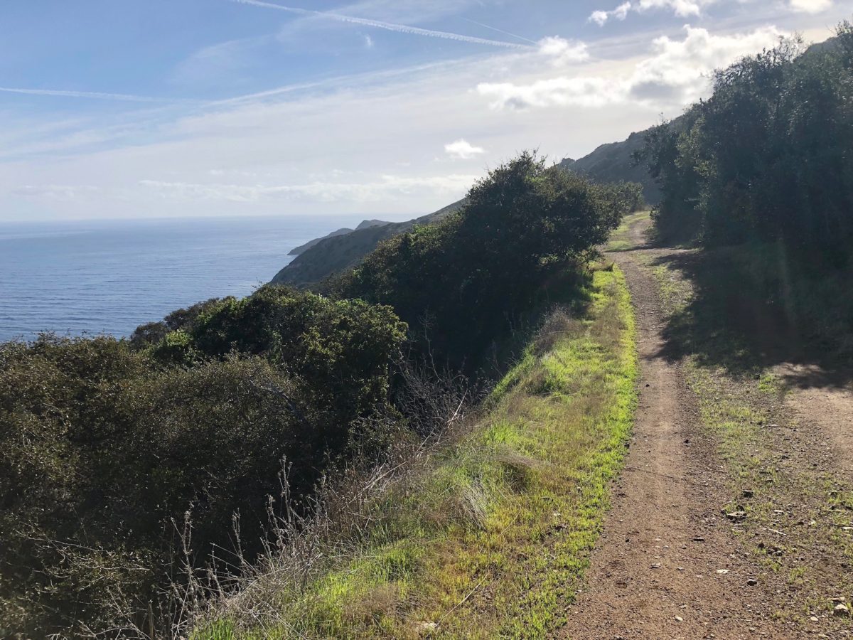
Going back the way we came
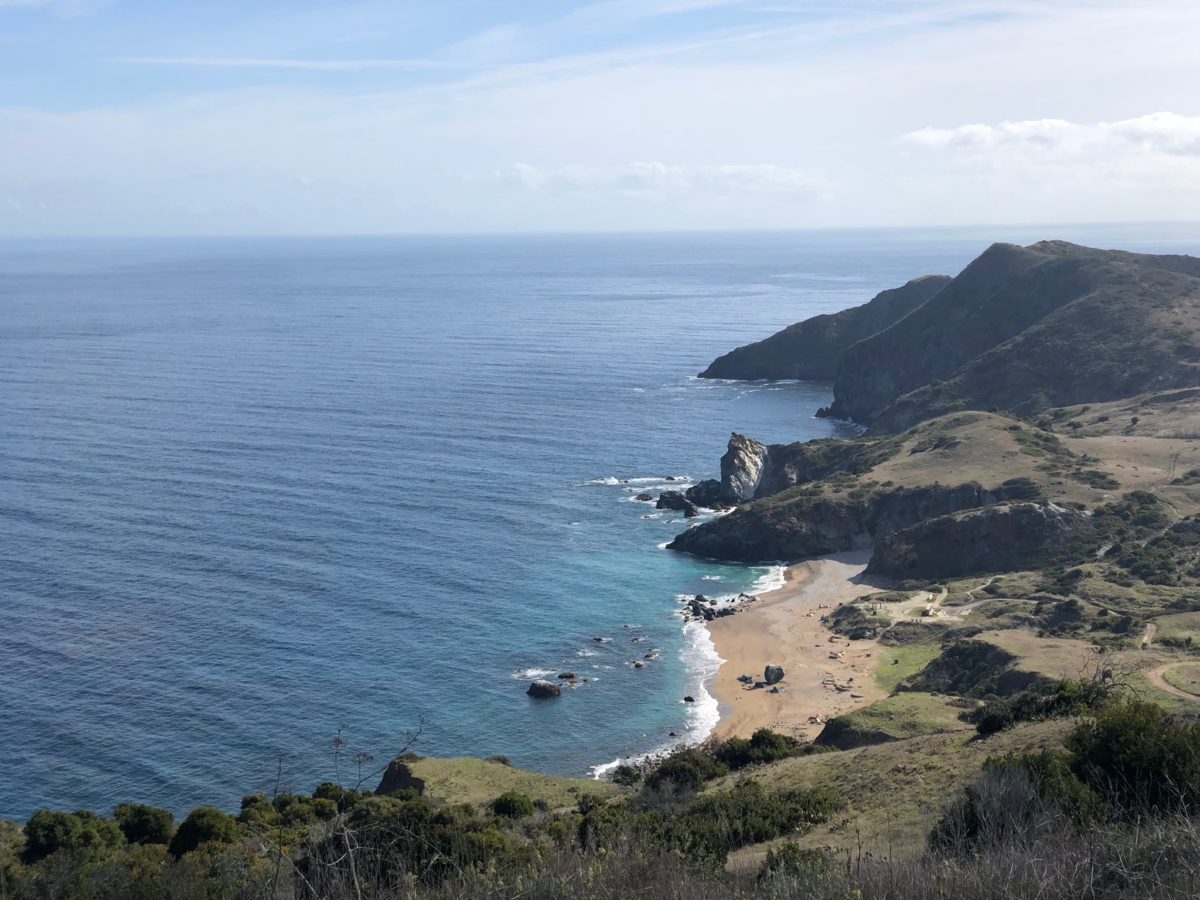
Finally, Parsons Landing!
Lunch At Parsons Landing
Just as we were about to step foot on Parsons Landing beach, we had out first encounter with one of the island’s most famous residents – a Catalina Island Fox.
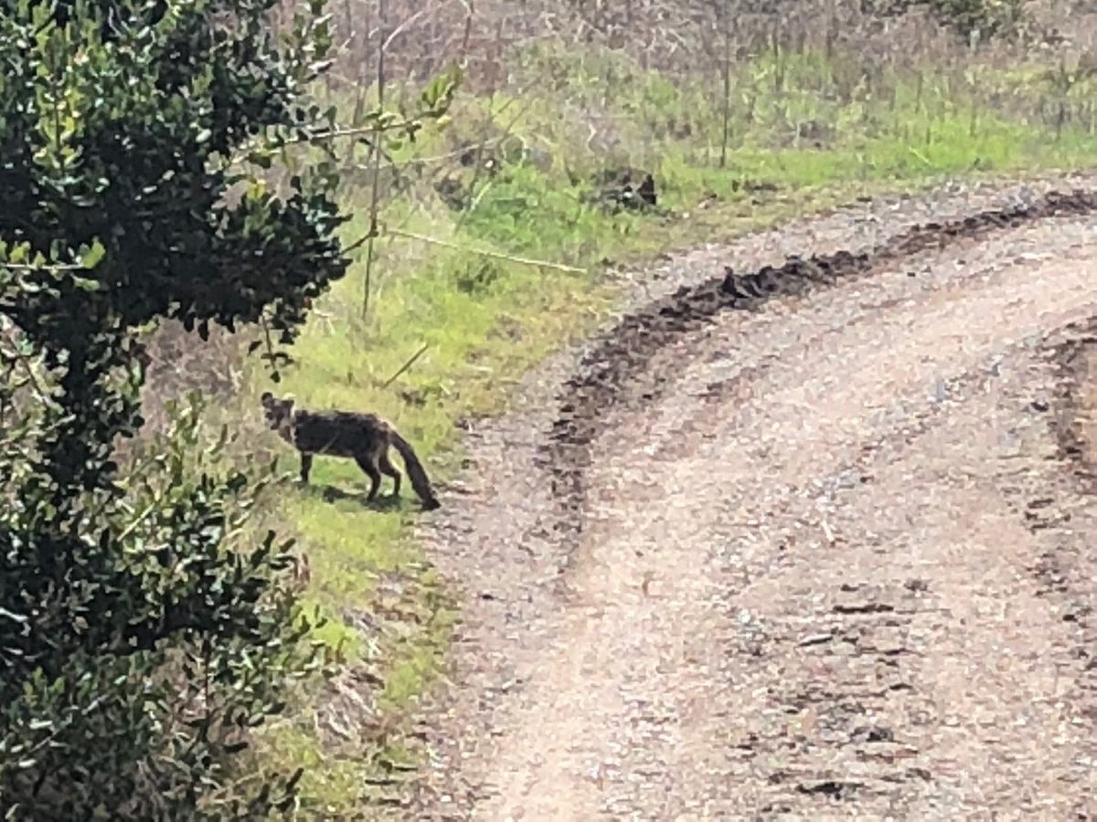
Our first sighting of an Island Fox
After the 9.6 Mile “side-trip” we were tired and hungry.
We opted for a quick nap before making lunch and preparing for what was known as the “absolute hardest section” of the TCT – “Fenceline Road”.
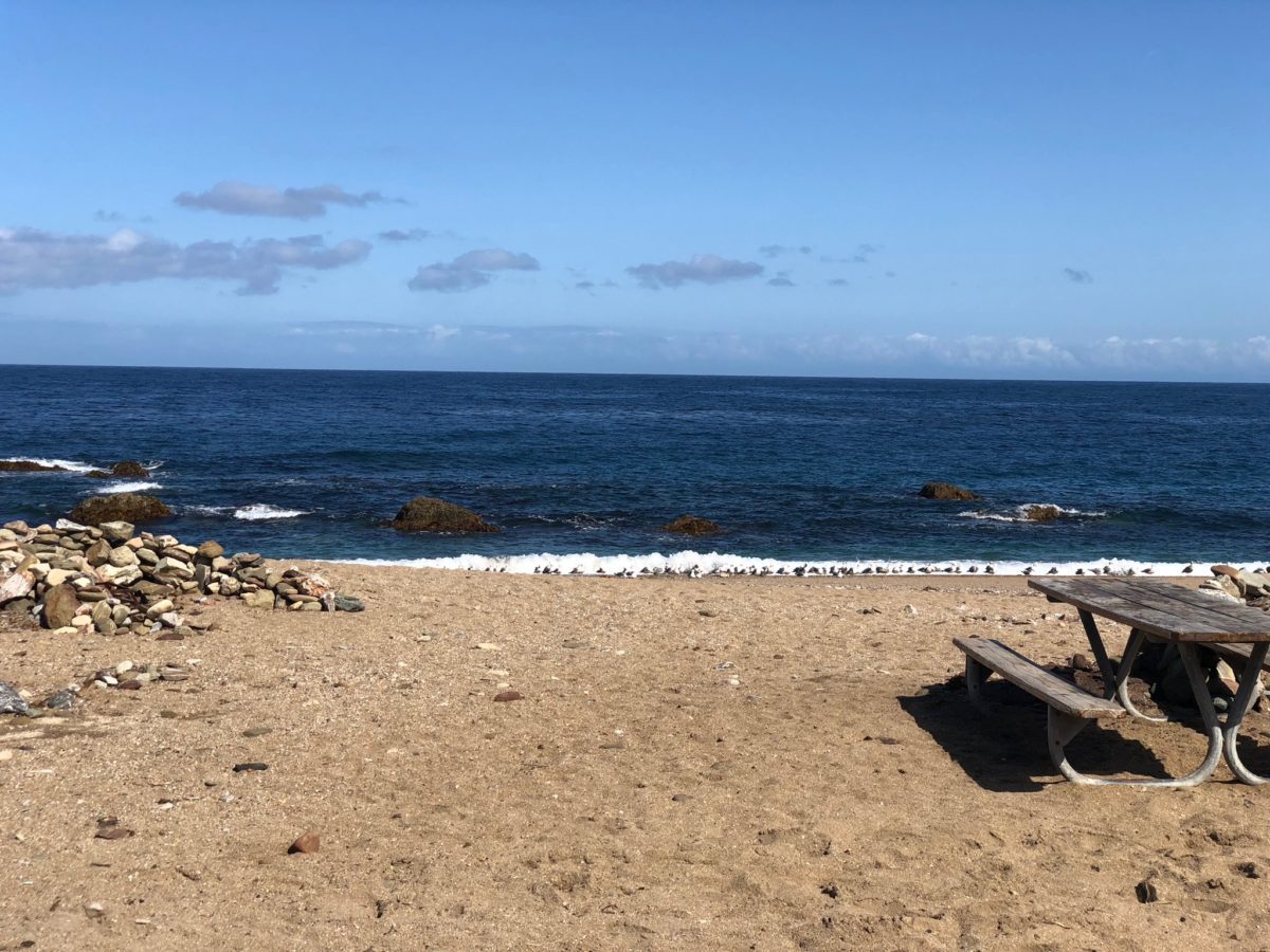
It was a perfect [beach] day for a nap and lunch by the sea
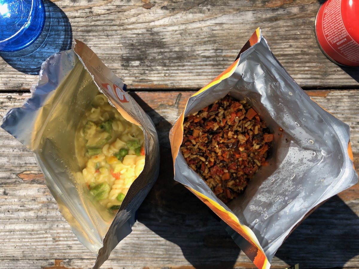
Honestly, it tasted much better than it looked
Day 2: Parsons Landing To Two Harbors Campground
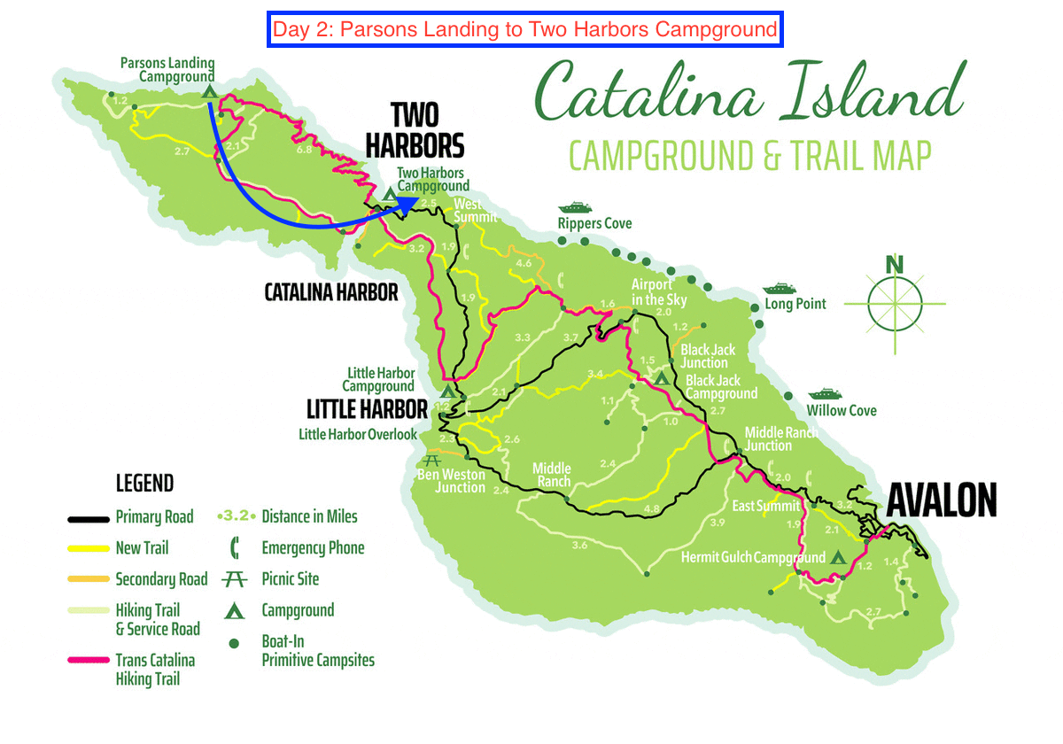
The blue arrow marks the trail from Parsons Landing to Two Harbors Campground (original image courtesy of catalinachamber.com)
Section 1: Fenceline Road To Silver Peak Trail [2.0 Miles]
After lunch, we were ready to again hit the TCT.
First, we had to make the small hike through the Propst Prairie before joining up with the infamous section of trail known as Fenceline Road.
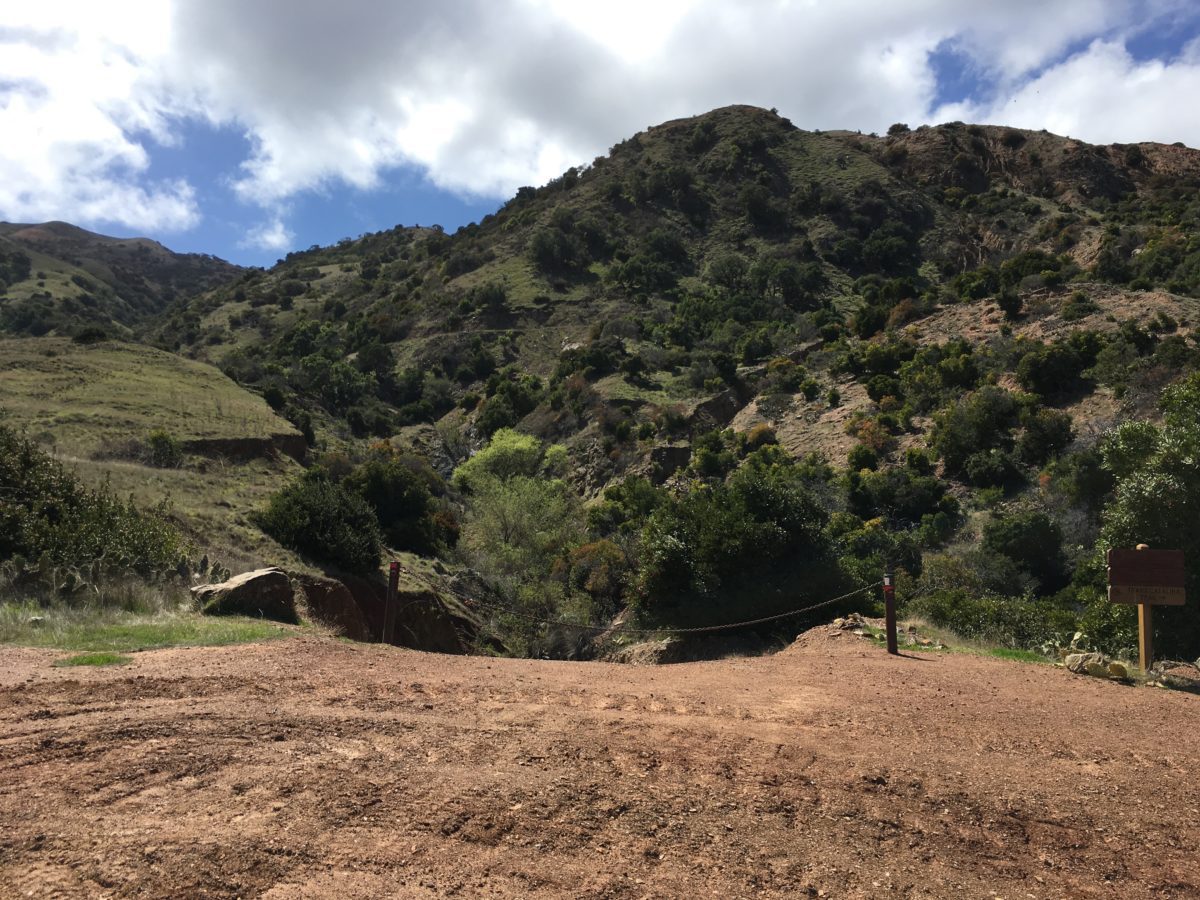
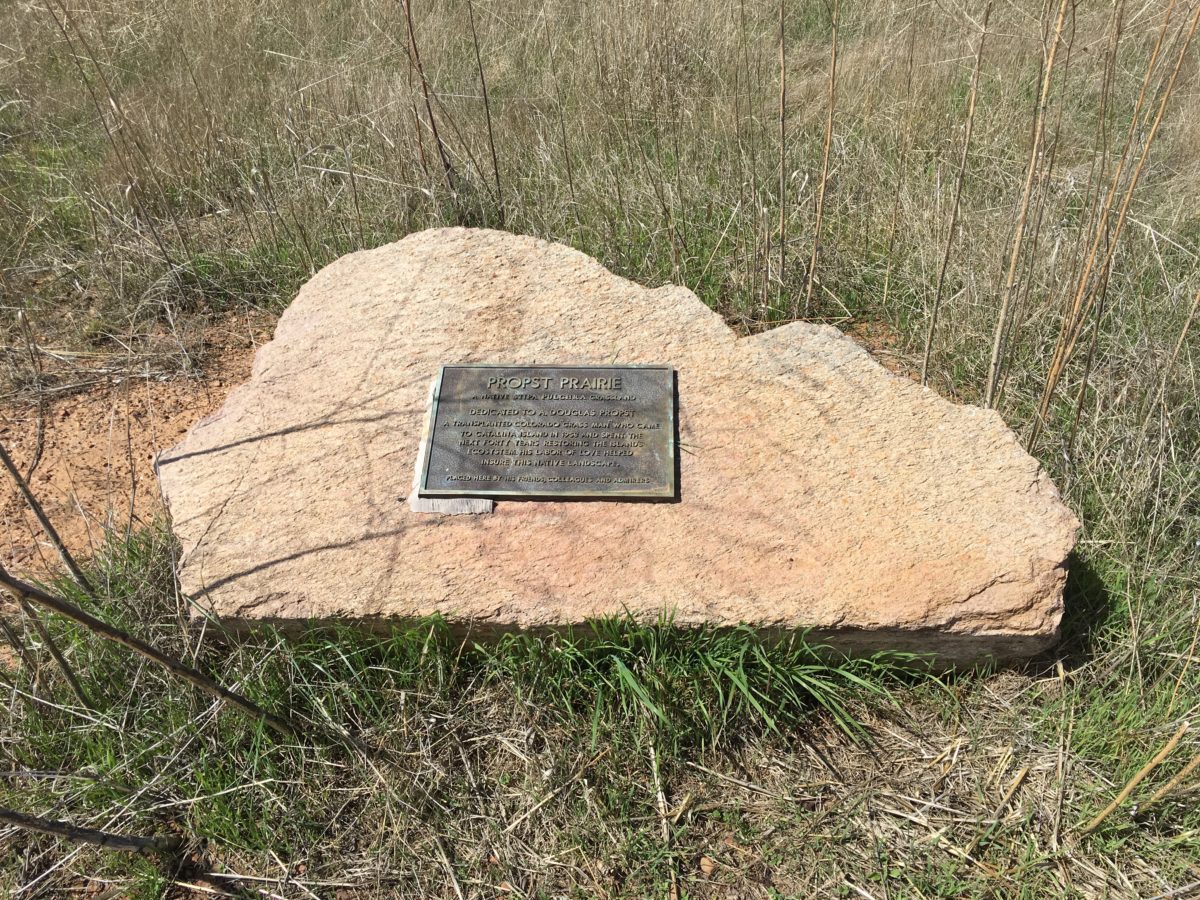
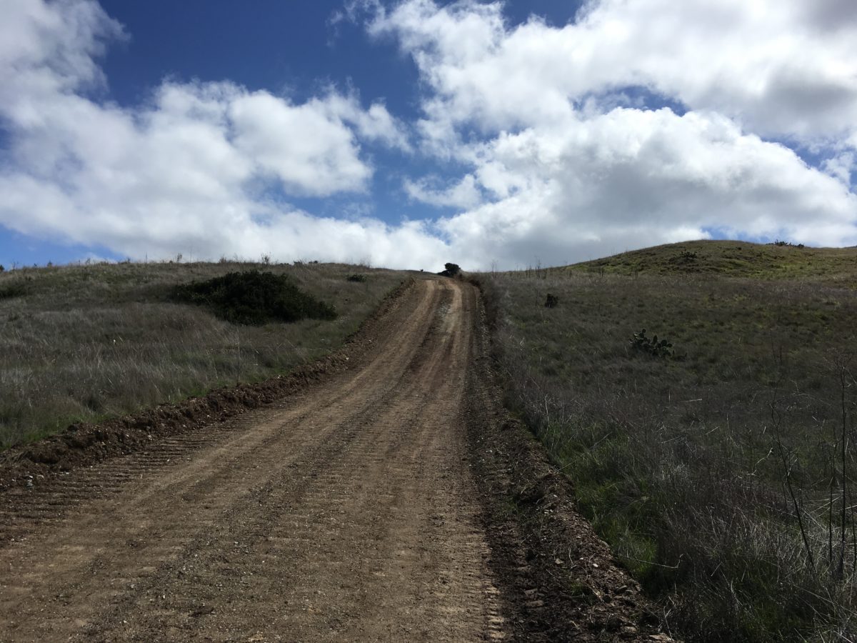
Propst Prairie
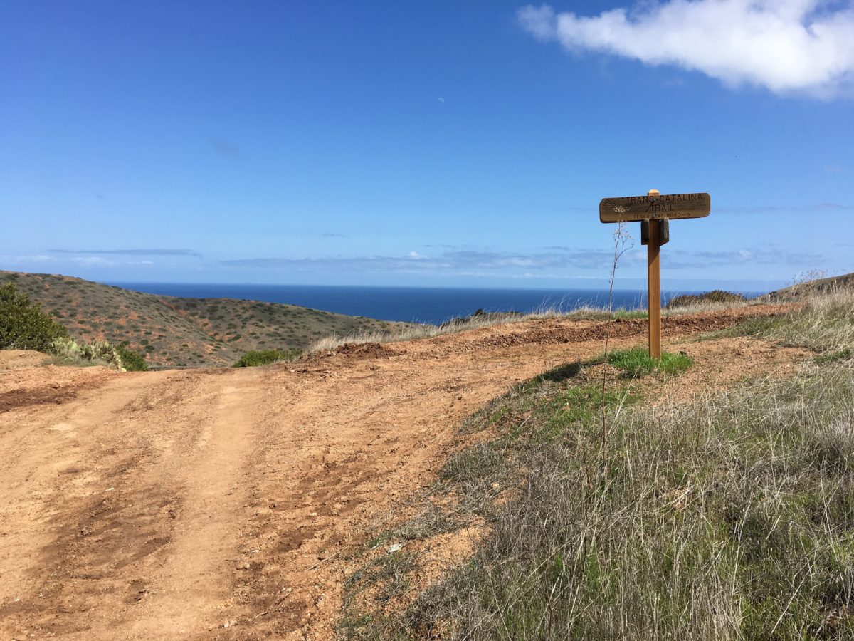
The Fenceline Road Junction
I had read that the Fenceline Road section of trail was “ridiculously steep” and “downright treacherous” going down. I figured that would not be the case hiking upward – which was true – but I was still surprised at just how steep and challenging it actually was.
It was so steep, I’m not even sure it should be called a “road” or a “trail”. Never-the-less, the only way to Silver Peak Trail was to power through.
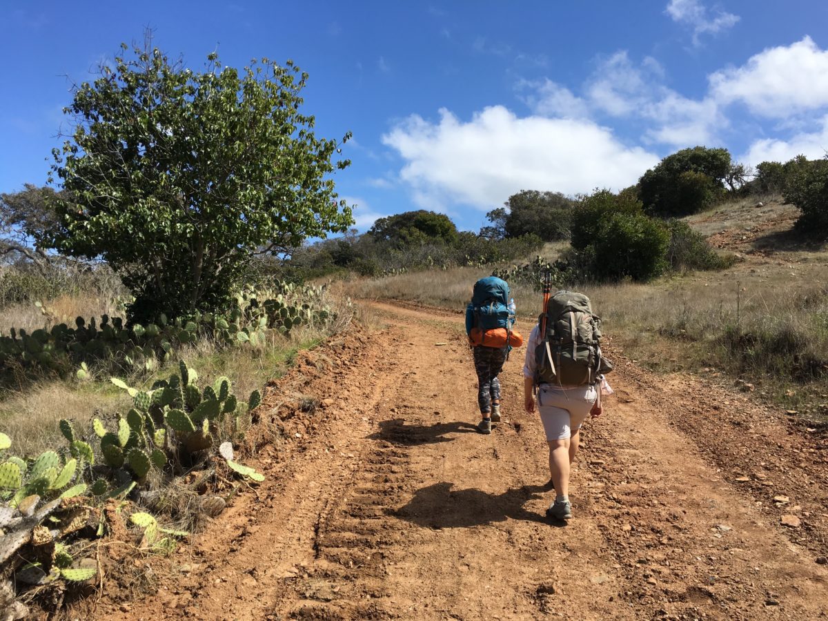
This ain’t so bad…
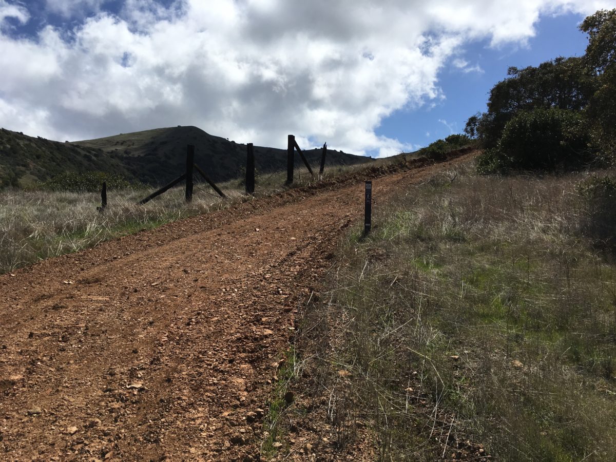
OK, it’s getting a little steeper…
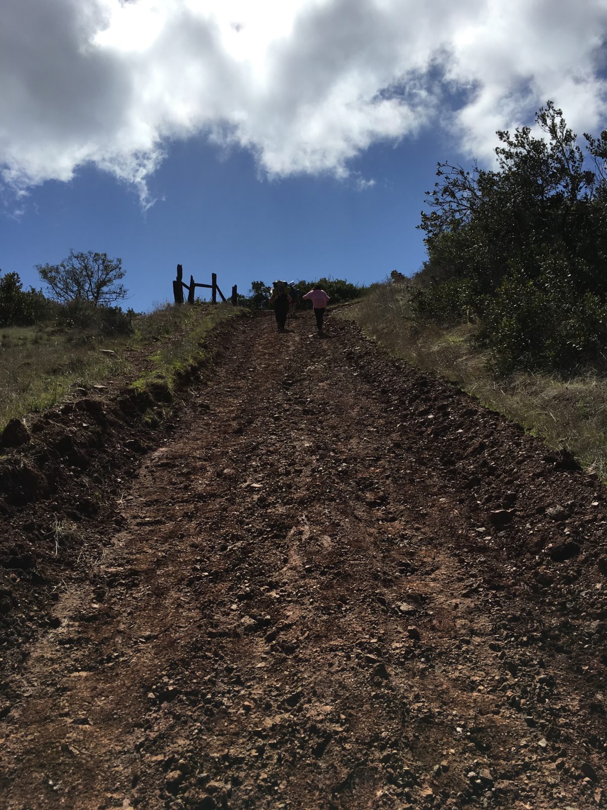
OMG, WTF
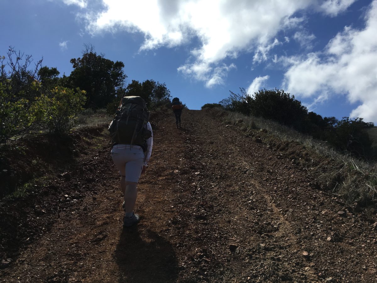
This part is almost straight-up!
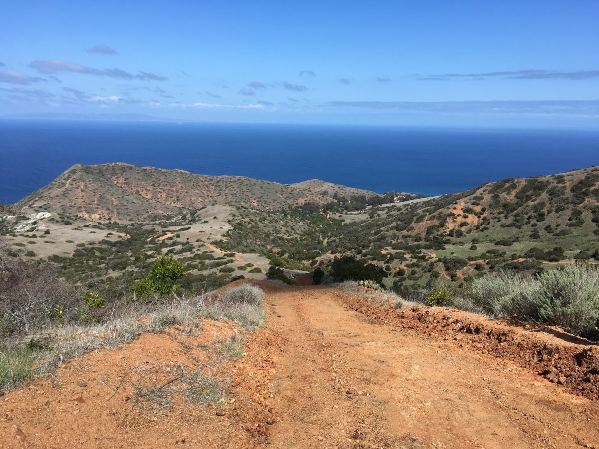
The views were amazing from Fenceline Road, which was a good thing because we needed to stop and rest about every ten yards.
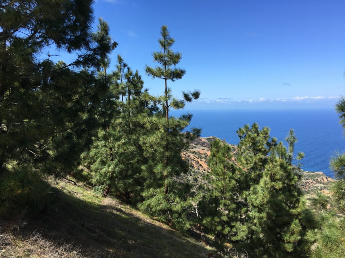
Finally, we hit the tree line – but we weren’t out of the woods just yet
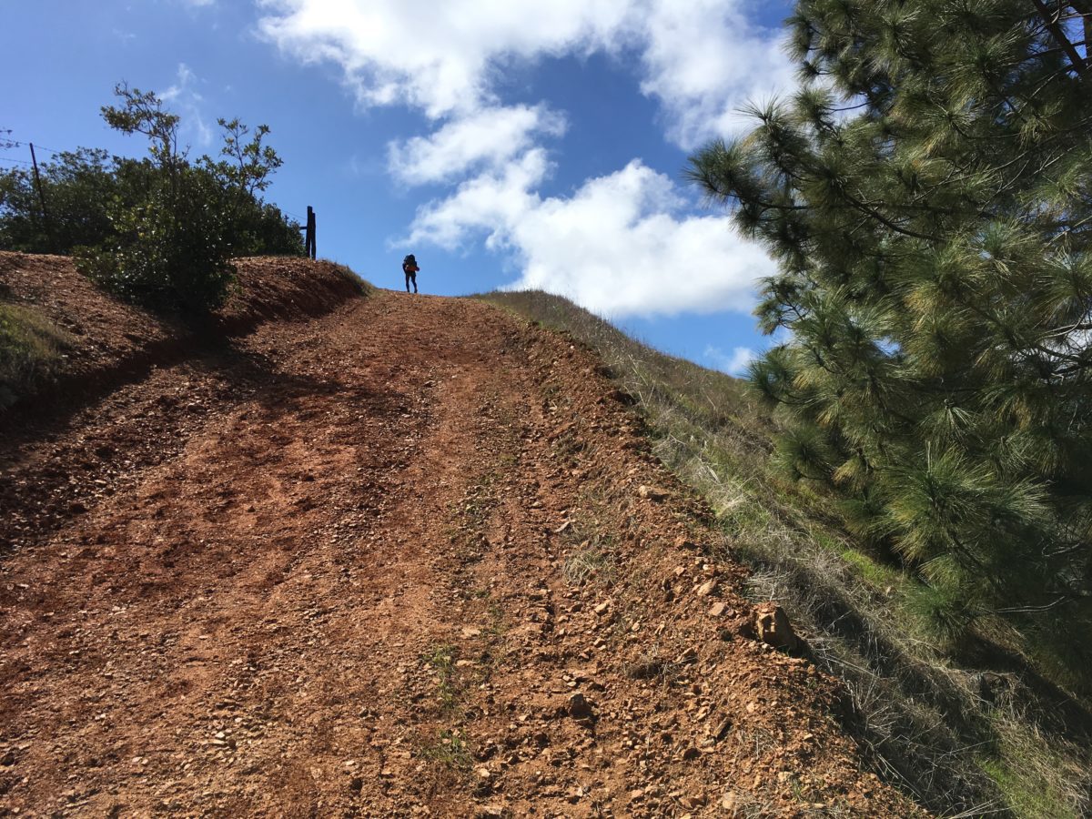
Right about here, it feels like the burning in your calves will never end
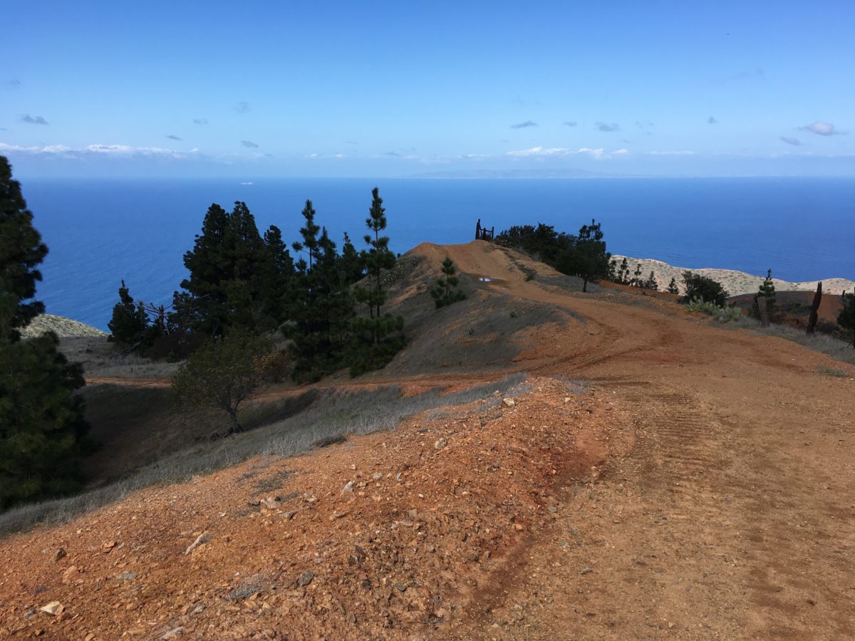
Looking back, we could see the hardest part was [mostly] over
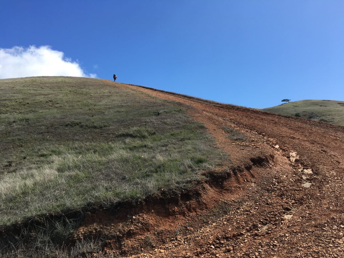
That tree on the hill on the right marked the end to Fenceline Road
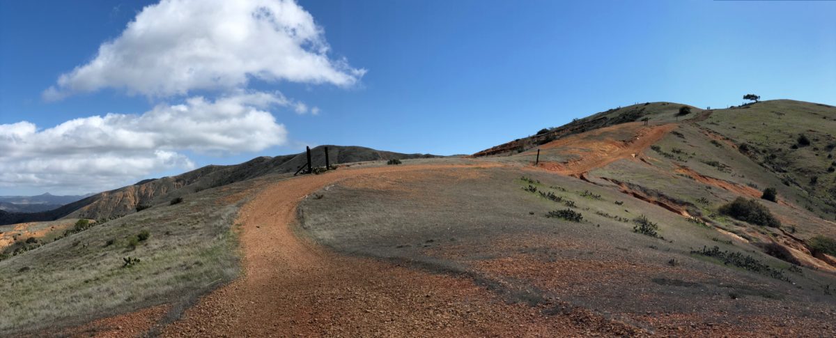
The Endgame
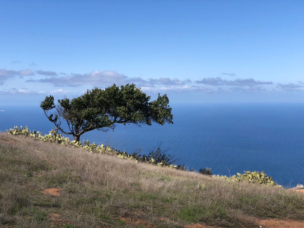
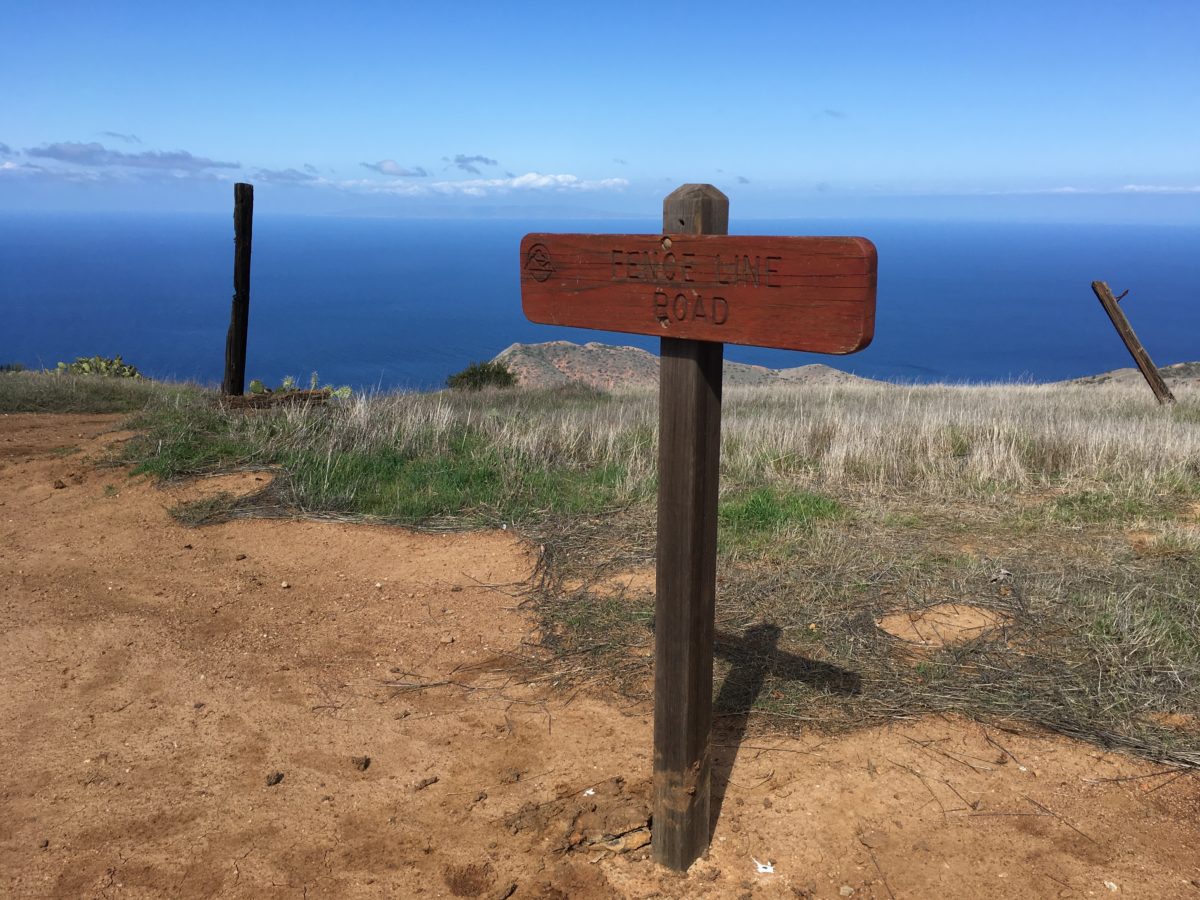
Finally, the Fenceline Road Junction with Silver Peak Trail!
Section 2: The Silver Peak Trail To The Howlands Water Tank Road Junction [2.1 Miles]
With the hardest section of the TCT behind us, it was time to relax a bit and enjoy the awesome Silver Peak Trail.
The mostly-flat Silver Peak Trail was a major respite from what we had just endured and overcome, and it was beautiful.
Running along the spine of the island’s west end, the Silver Peak Trail offered 360-degree views of the island with ocean views visible in every direction. It was also here where we had our first sighting of the island’s famous Bald Eagles (who circled us overhead).
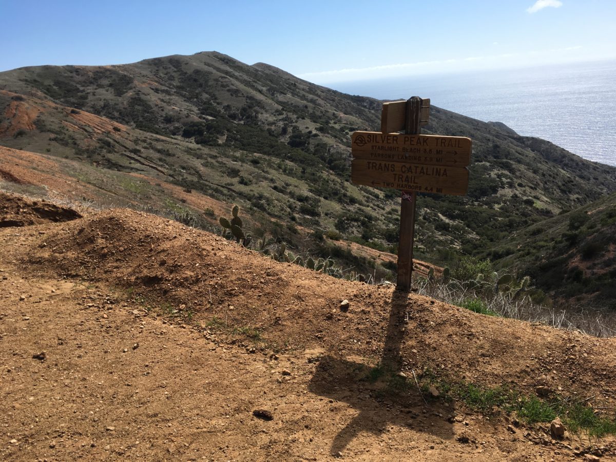
It’s official, the Silver Peak Trail
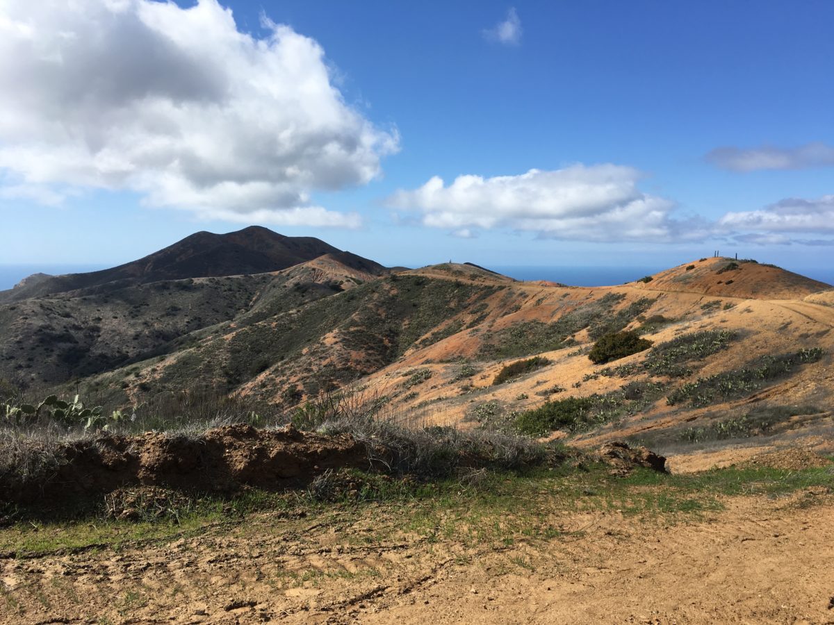
The view west on the Silver Peak Trail (toward Starlight Beach)
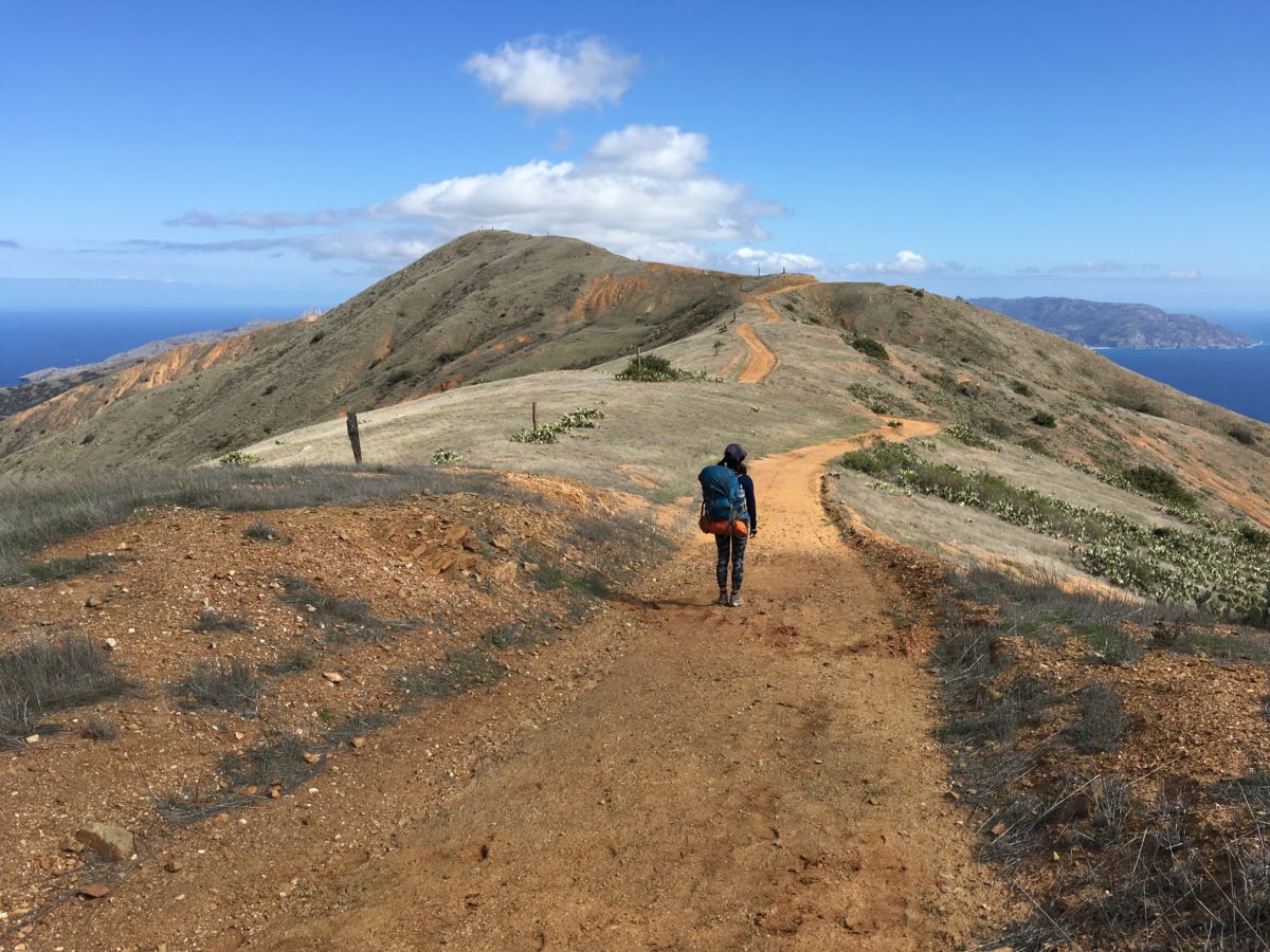
The view east toward Two Harbors
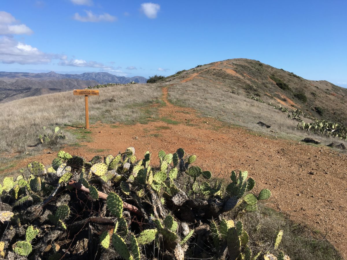
The Howlands Water Tank Road and Lobster Bay Overlook Junction
Section 3: From Howlands Water Tank Road To Two Harbors Campground [2.2 Miles]
From the Howlands Junction, the TCT instantly began a relatively steep drop, plummeting steadily downward toward Catalina Harbor and the town of Two Harbors.
Although this section was all downhill, it felt much longer than it was.
FHOP Tip: There was a nice picnic area about halfway down that was the perfect spot for an afternoon snack.
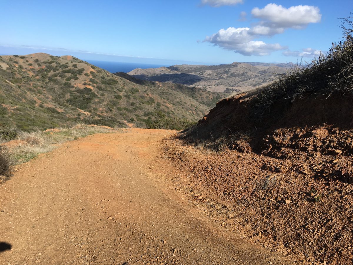
It’s all downhill from here (at least until you reach Two Harbors)
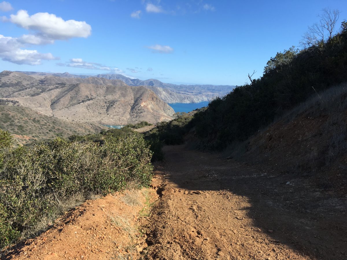
This section of trail had heavy erosion in some spots, and was rocky enough to be a slipping hazard
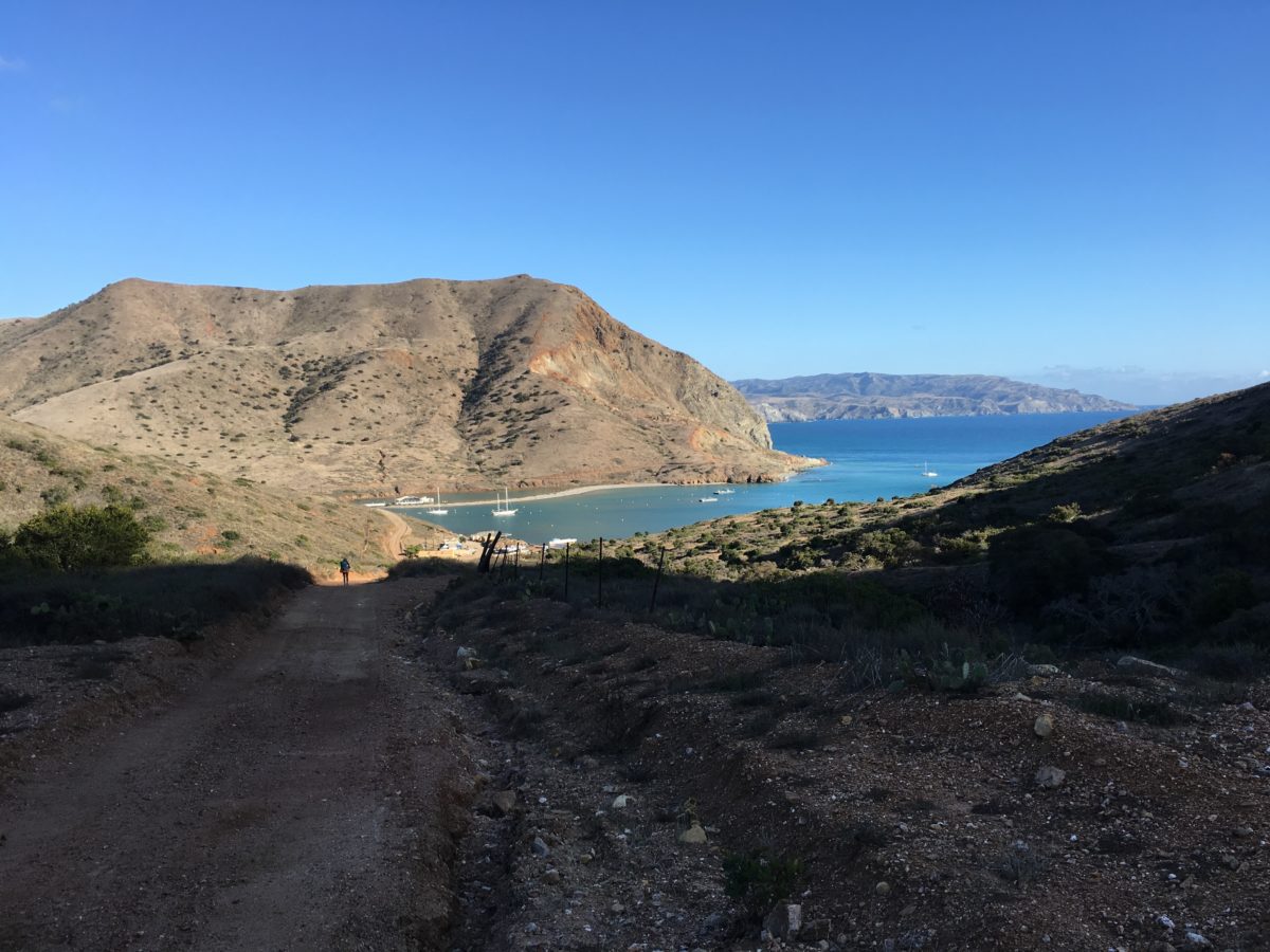
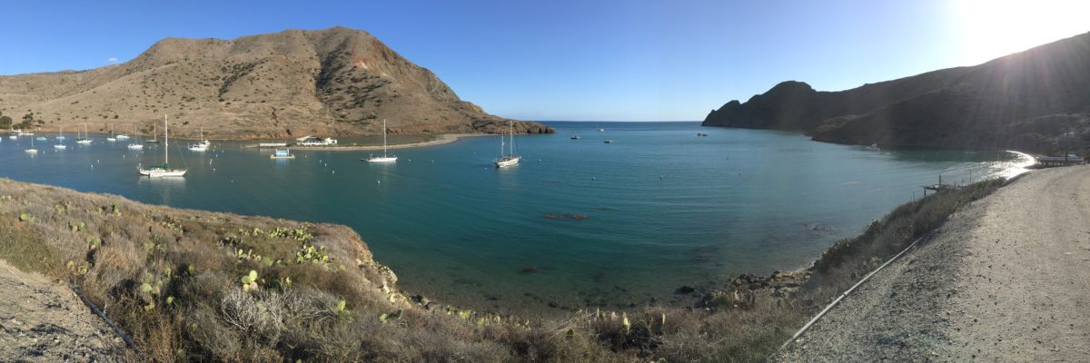
Panoramic photo of Catalina Bay
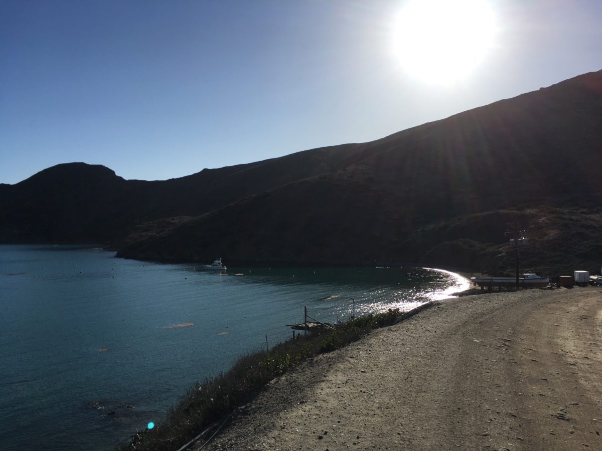
We made it! Unfortunately, it was still quite a walk to the campground
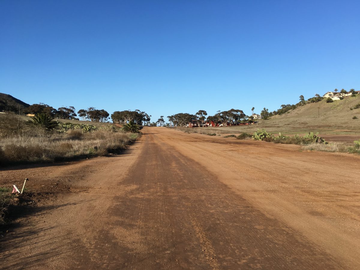
The lonely road toward Two Harbors
Arrival At Two Harbors Campground
When we arrived in town, the first order of business was to check out the bathrooms and showers.
Fortunately, both were clean and in good working order, but they did require coins.
The plan was to make camp, then wash-up before having a nice, proper dinner at the Harbor Reef Restaraunt.
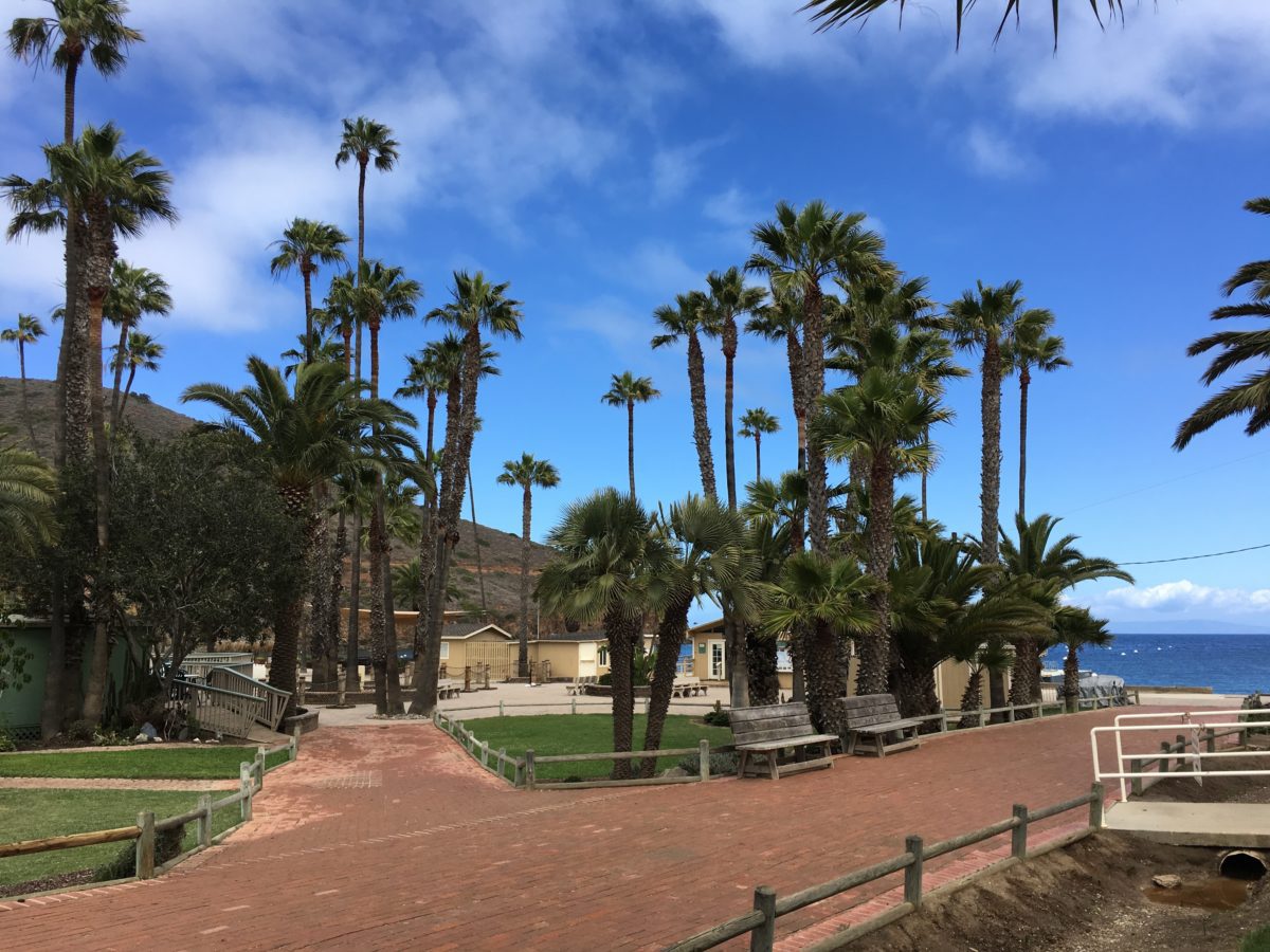
The “town square” of Two Harbors
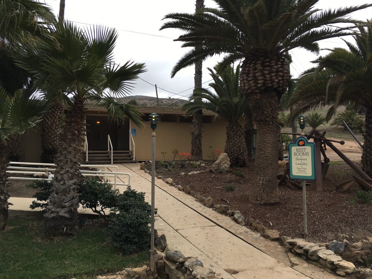
Restrooms, showers, and laundry! (but the water is cold)
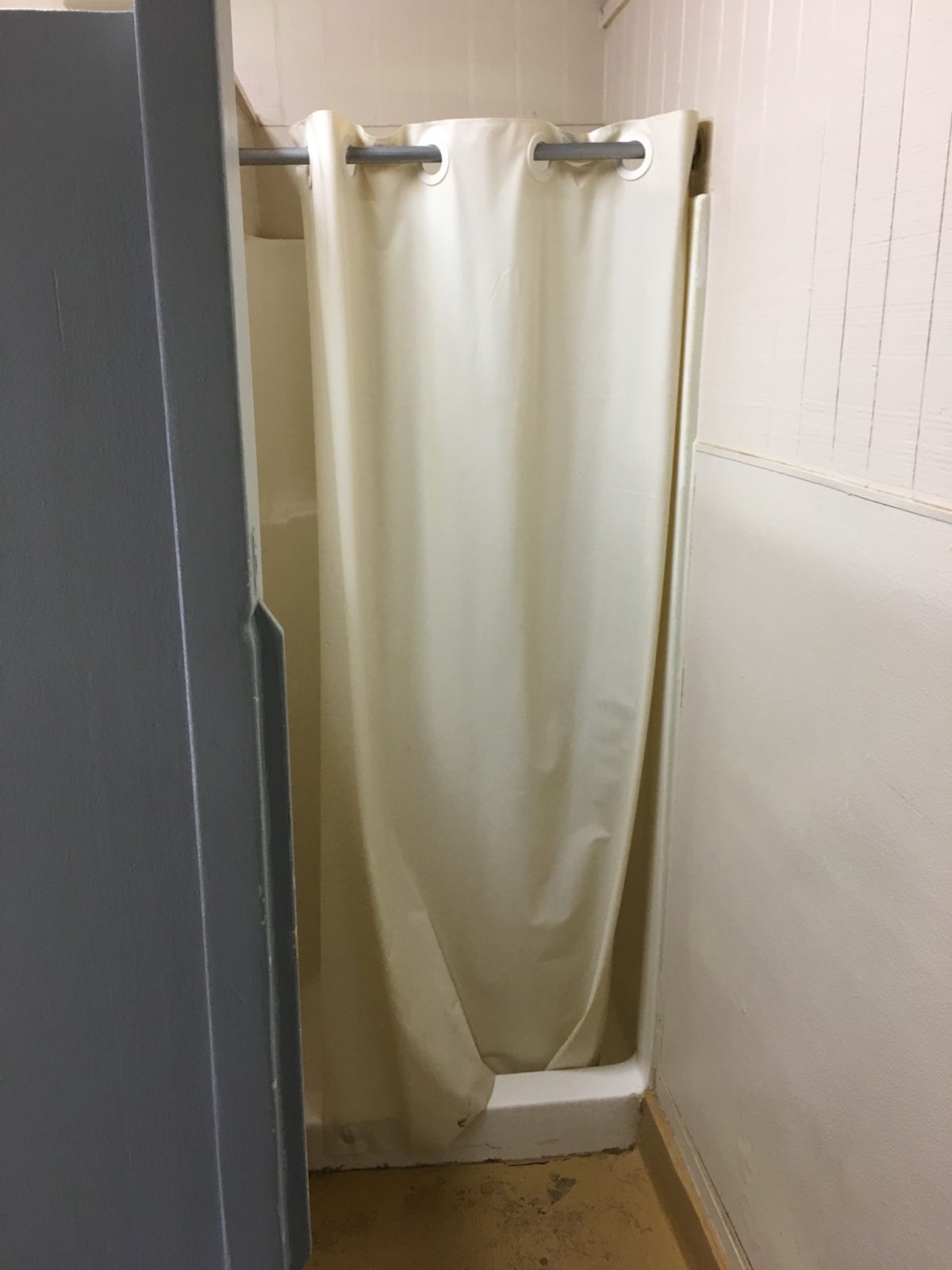
The shower area was relatively clean; clean enough to shower at least.
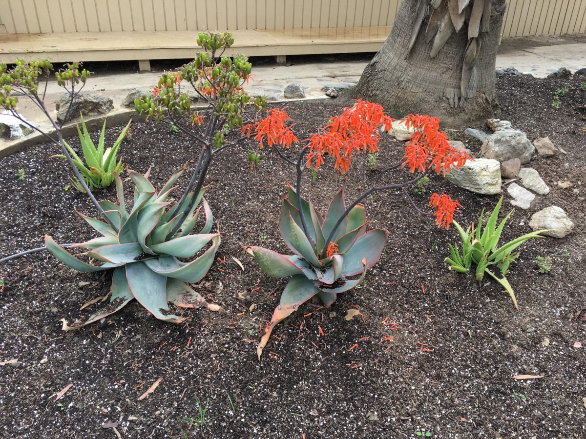
End Of Day 2: Sunset By The Sea At Two Harbors Campground
After stuffing ourselves with food and alcohol at the Harbor Reef Restaraunt (which was great), we headed back to camp to turn in for the night.
Having clocked 16.5+ miles in “day two” (including the dreaded Fenceline Road), we were beat. We managed to watch the spectacular sunset over another round of beers before hitting the sack.
It was another perfect ending to another perfect day on the TCT.
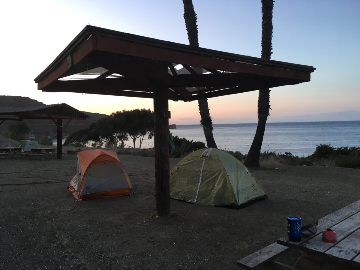
Two Harbors Campground
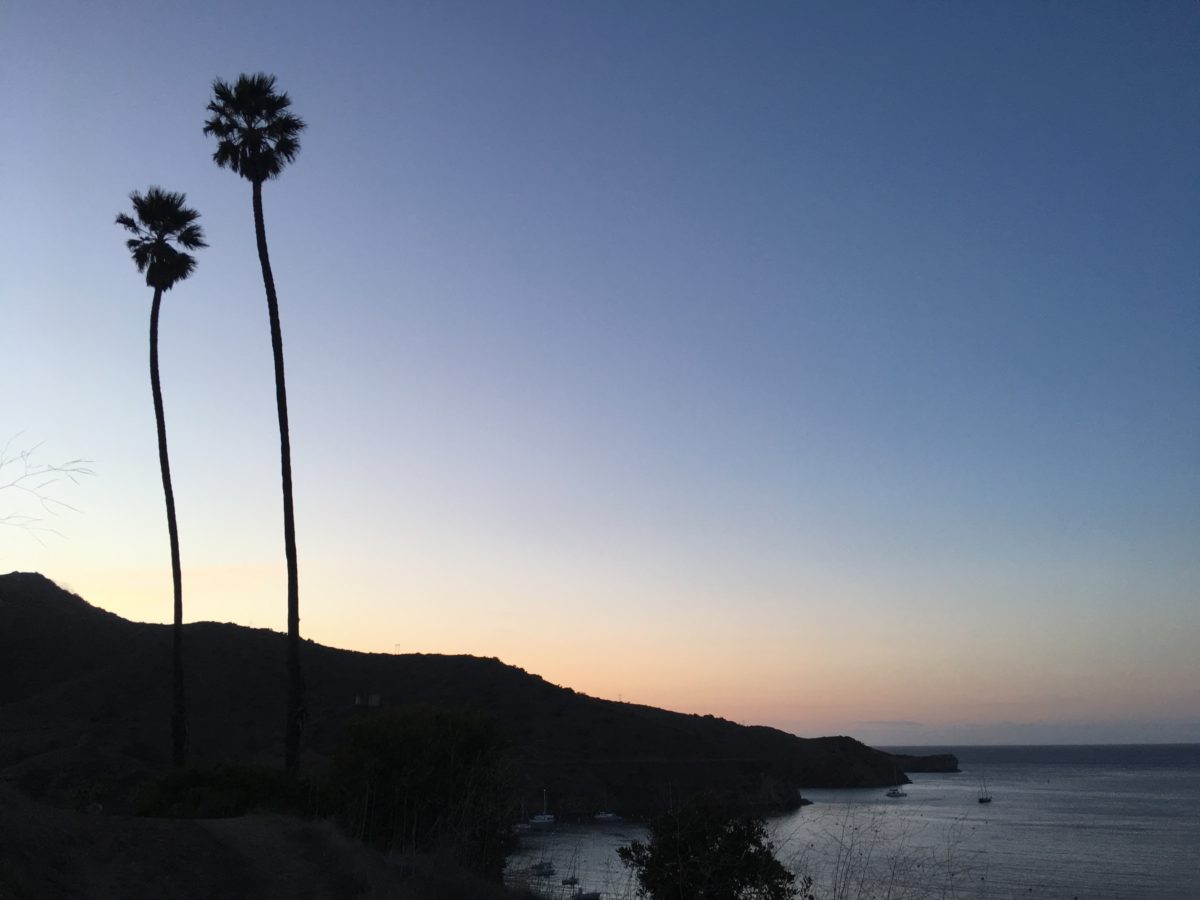
This is what’s called a “California Sunset”
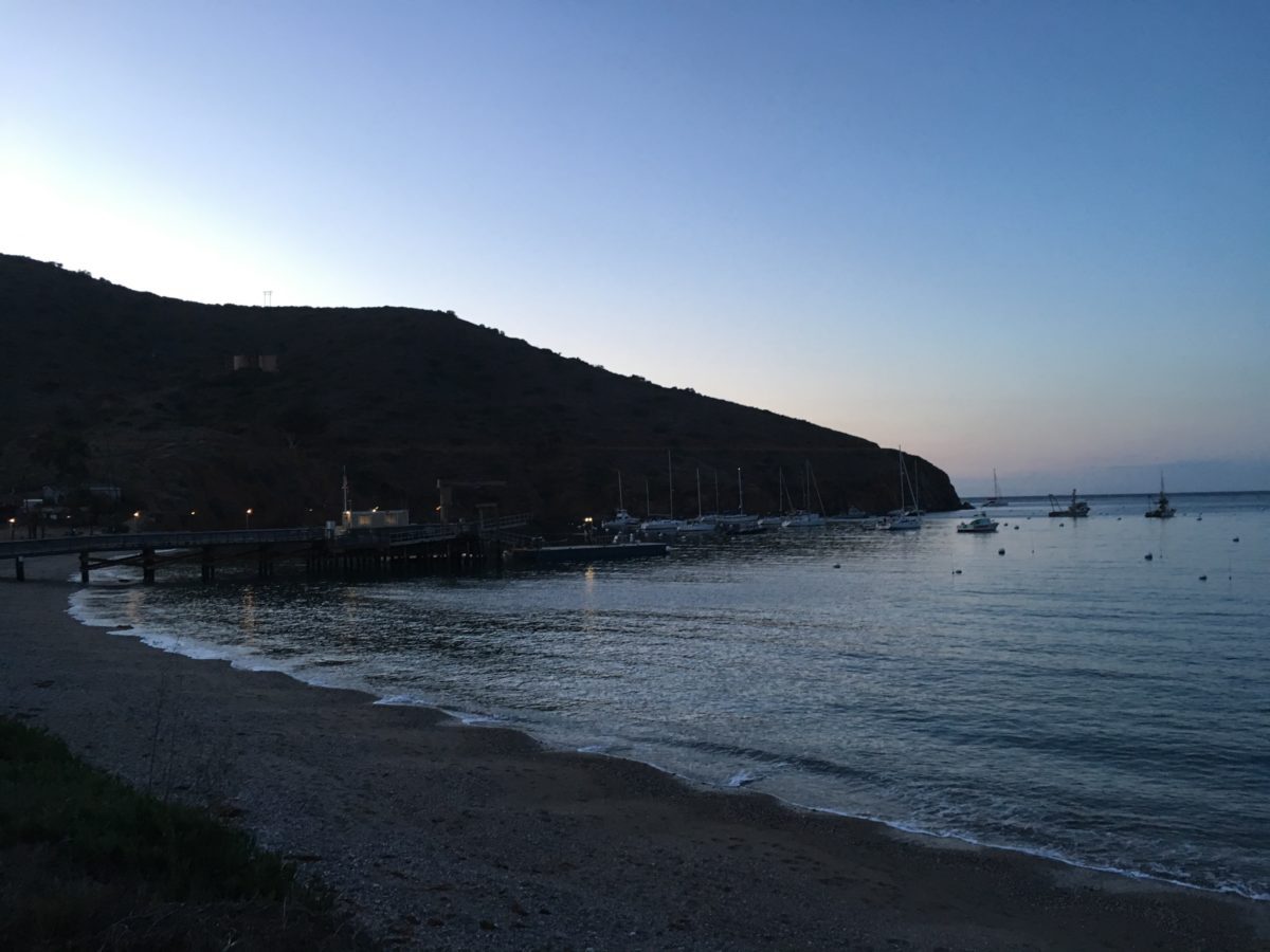
Cheers!

