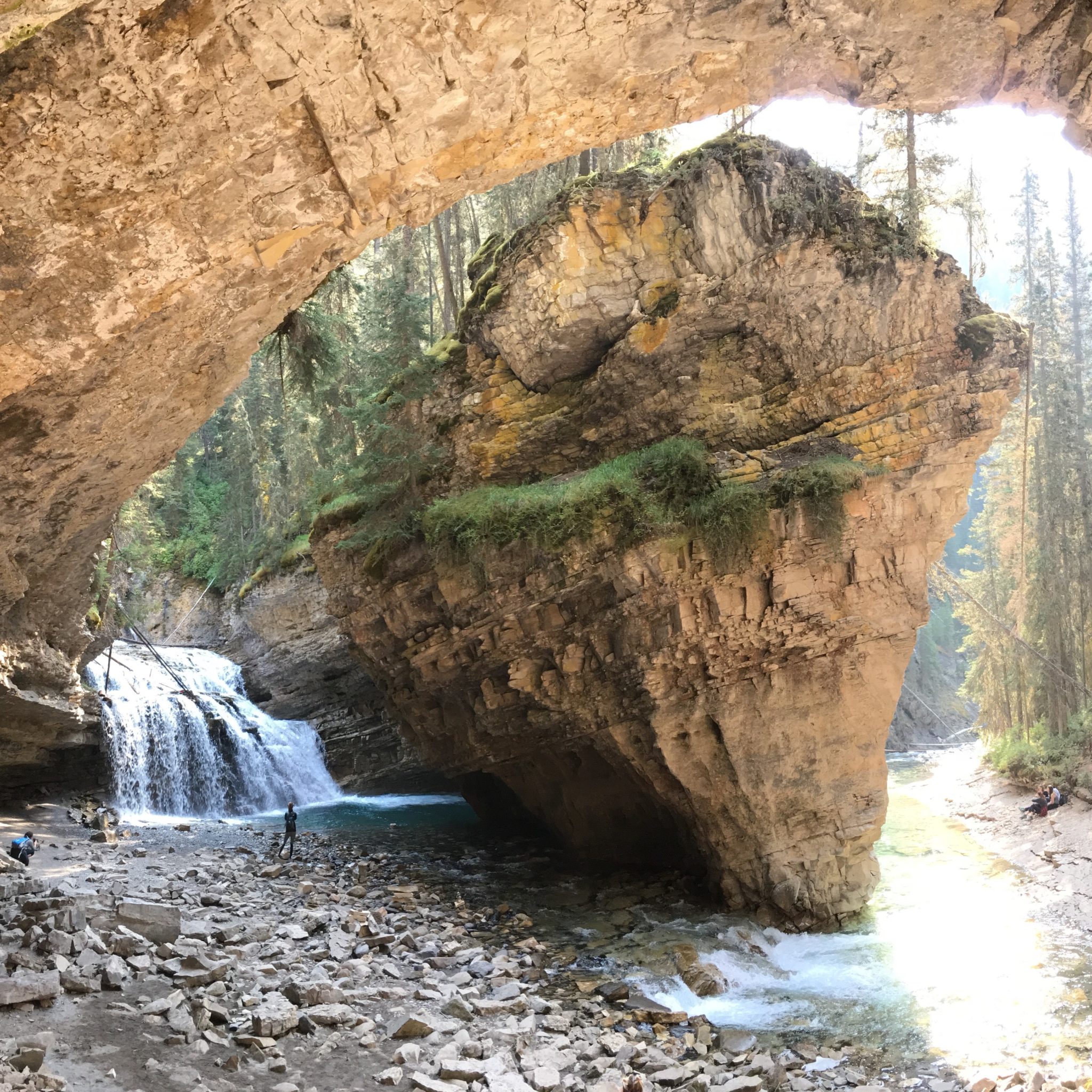
After an early morning start in Canmore, followed by a self-guided walking tour of the Fairmont Banff Springs (a UNESCO World Heritage Site), I still had time to get in a mid-morning hike. And not just any hike — I’d be hiking Johnston Canyon, the most popular hike in all of the Canadian Rockies.
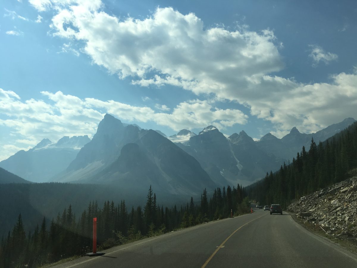
Driving towards the Bow Valley Parkway in Banff National Park
Getting There: The Location of Johnston Canyon:
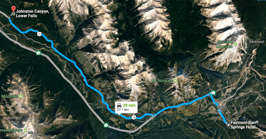
Johnston Canyon is located about 30 minutes from the Fairmont Banff Springs hotel, up the Bow Valley Highway 1A.
The Parking Situation:
As you can imagine, an activity as popular as hiking Johnston Canyon is going to have a very tough parking situation. I actually “discovered” Johnston Canyon when I was driving from Calgary to Jasper National Park and I passed a couple of parking lots and dozens and dozens of cars parked along the side of the road on the Bow Valley Parkway.
You have several options as far as parking goes:
Option #1: The parking lots. There are two parking lots with digital “number of vacant spaces available” boards. These lots fill up very fast, so if you plan on parking here, your best chance is to get here very early in the morning.
Option #2: Park on the side of the road on the Bow Valley Parkway. This may be your only option – but note that this too fills up quickly where you may find yourself parking several kilometers down the road. I literally saw a huge line of cars that stretched several kilometers away.
Option #3: Take a bus, go on on “off day” (non-weekend), or go super-early.
Hiking Johnston Canyon: The Trailhead
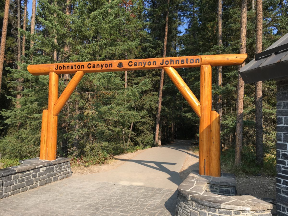
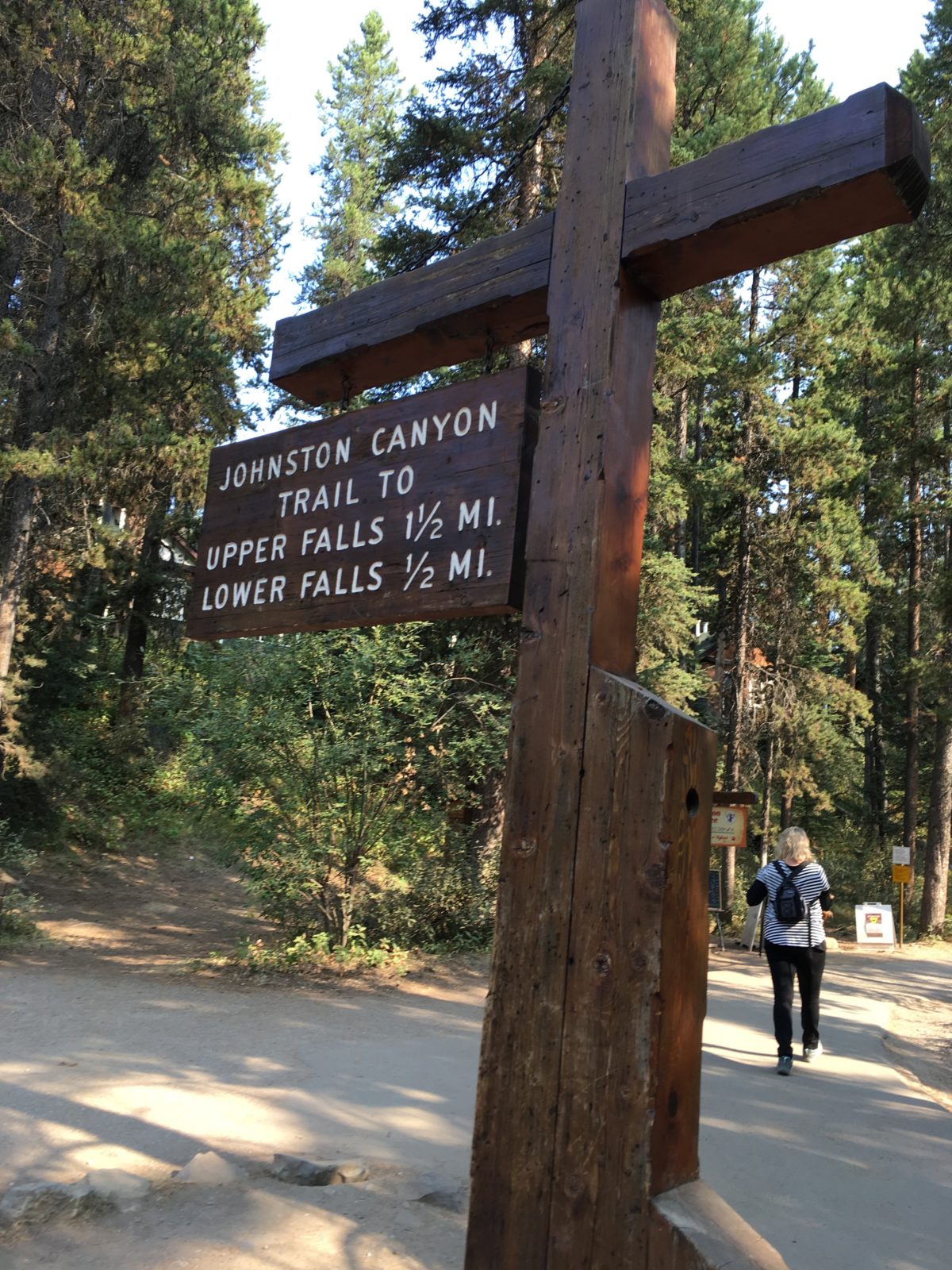
The trail-head is located on the Northeastern corner of the smaller parking lot 1. You’ll see this sign at the entrance to Johnston Canyon:
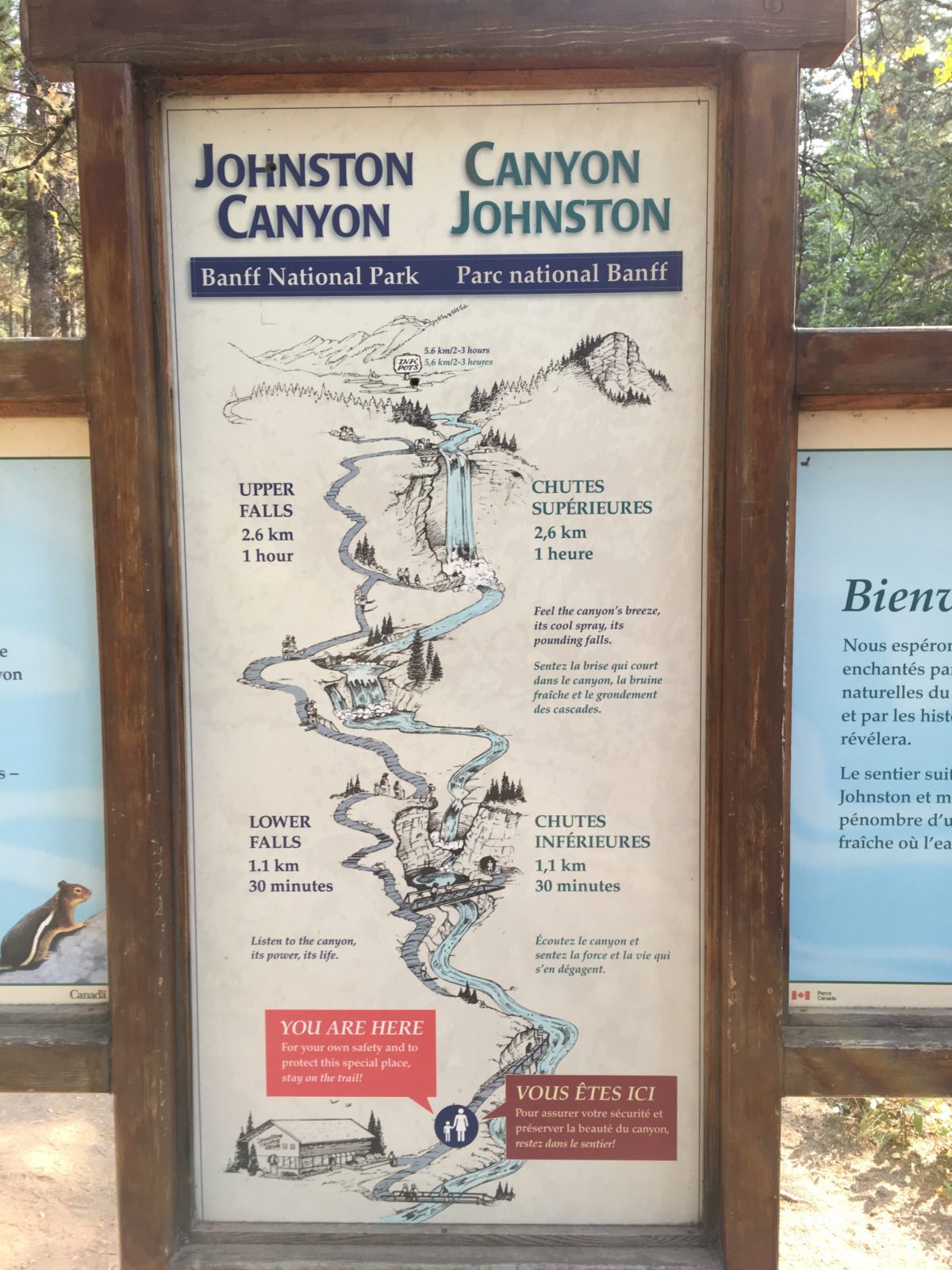
The hike itself is listed as 2.7 km (or 1.7 miles) each way for a total of 5.4 km (or 3.4 miles) round-trip. Hiking Johnston Canyon should take you about 2 hours round-trip.
You also have the option of continuing further past the Upper Falls and tacking-on the “Ink Pots” trail which add another 3.1 km (or 1.9 miles) each way for a total hike of 11.6 km (or 7.2 miles) round-trip.
As you start the hike, you soon come upon the Johnston Canyon trail map.
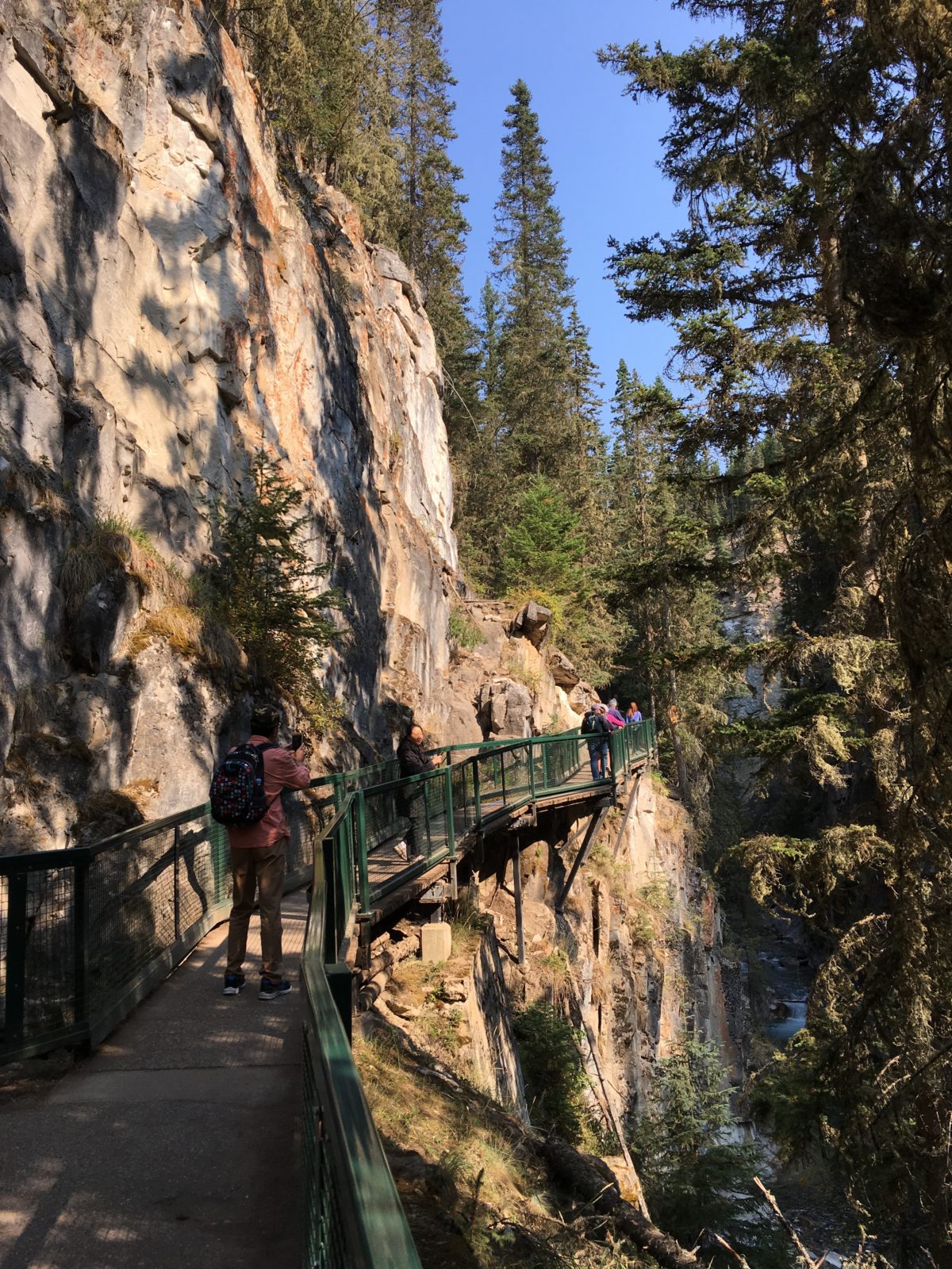
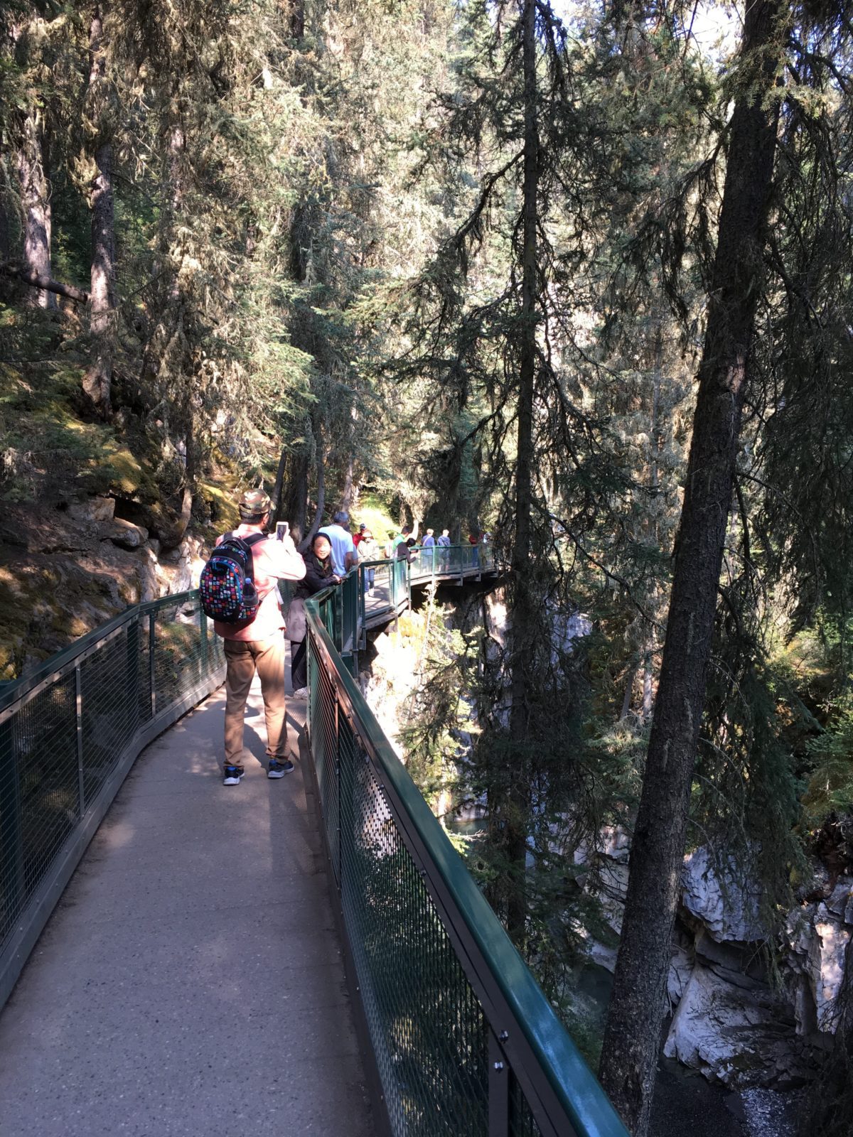
Hiking Johnston Canyon:
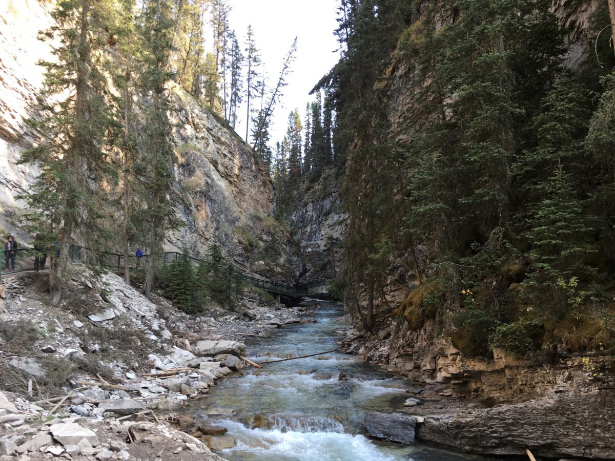
As you begin the hike, you will follow the easily marked and paved trail that will soon give way to the hanging steel trail.
The Lower Falls and Cave Spur:
30 minutes into the hike, you’ll reach the Lower Falls. Here, you can veer right, cross the bridge, and head into the tunnel that will take you to a lookout of the Lower Falls.
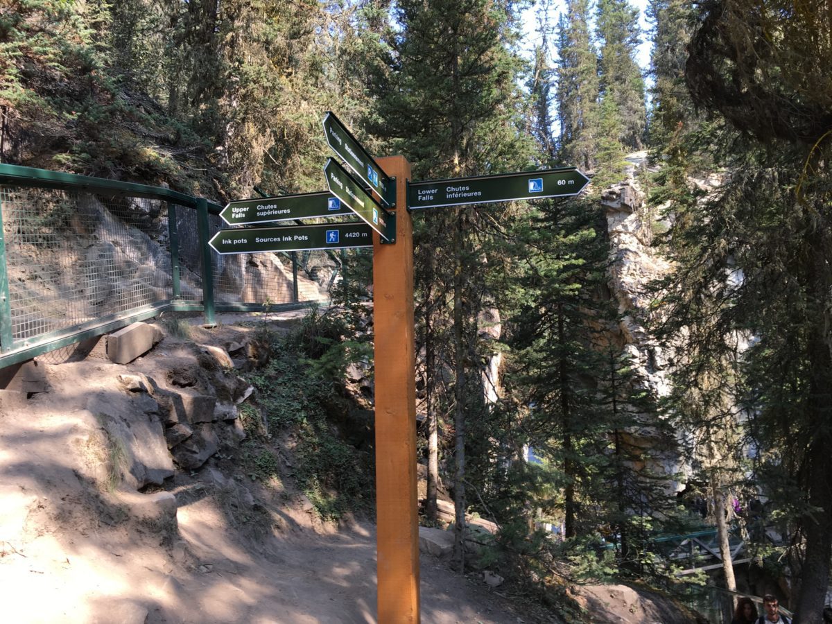
Which way do we go?
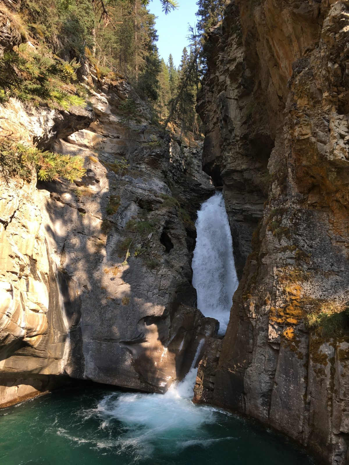
The Lower Falls
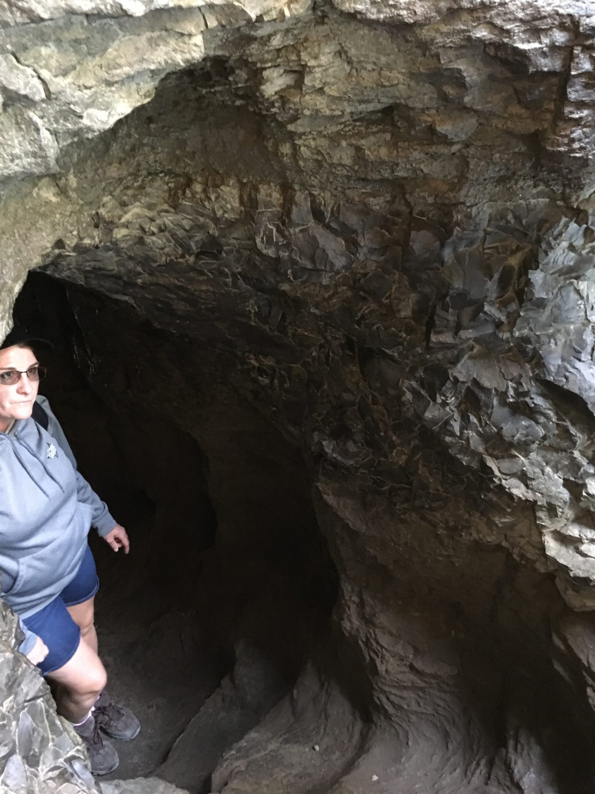
The tunnel to the balcony view of Lower Falls
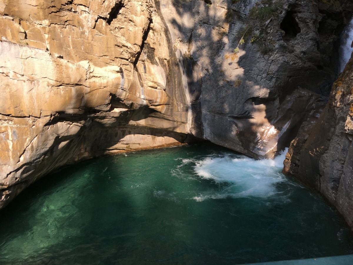
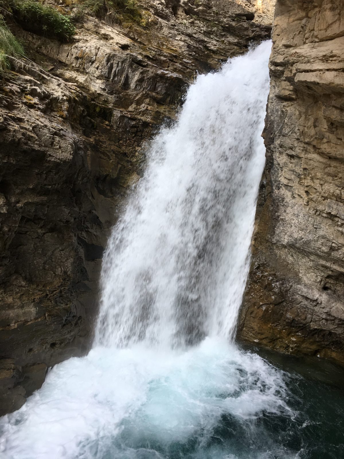
The Lower Falls
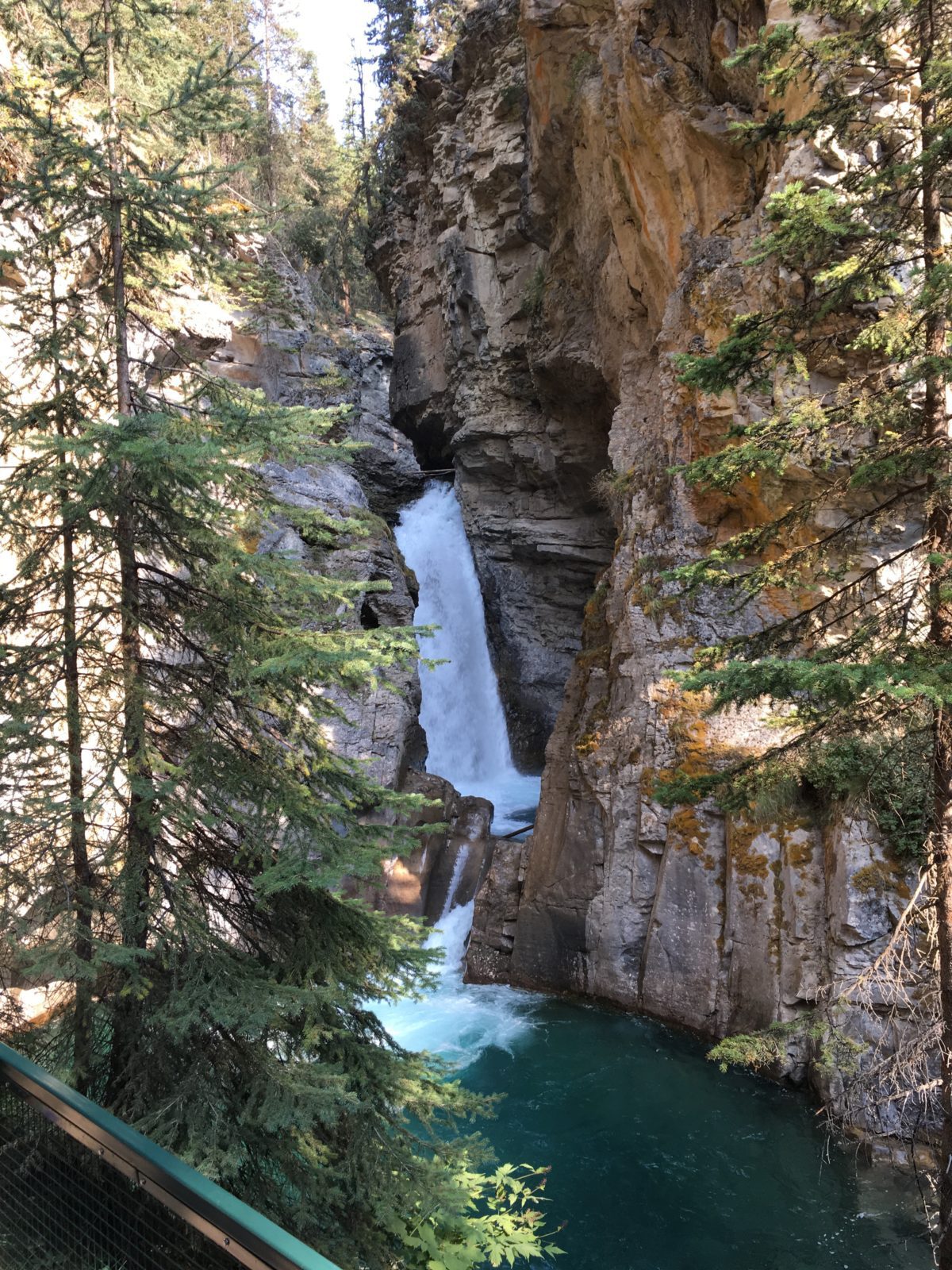
The Lower Falls (from back on the main trail)
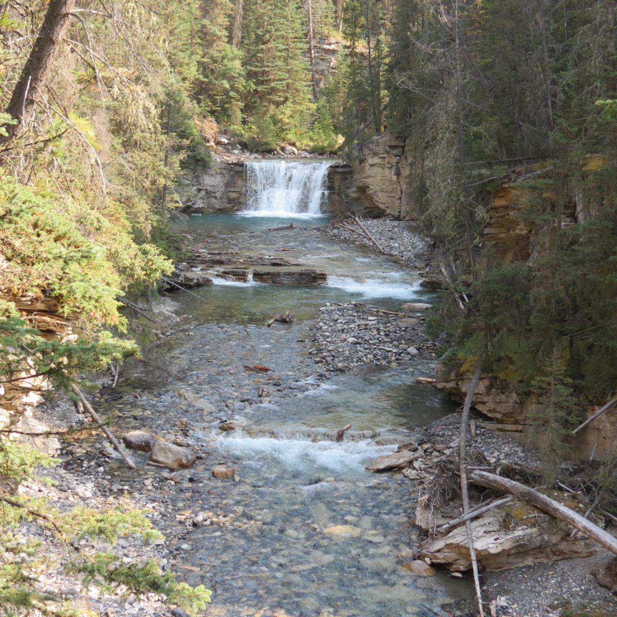
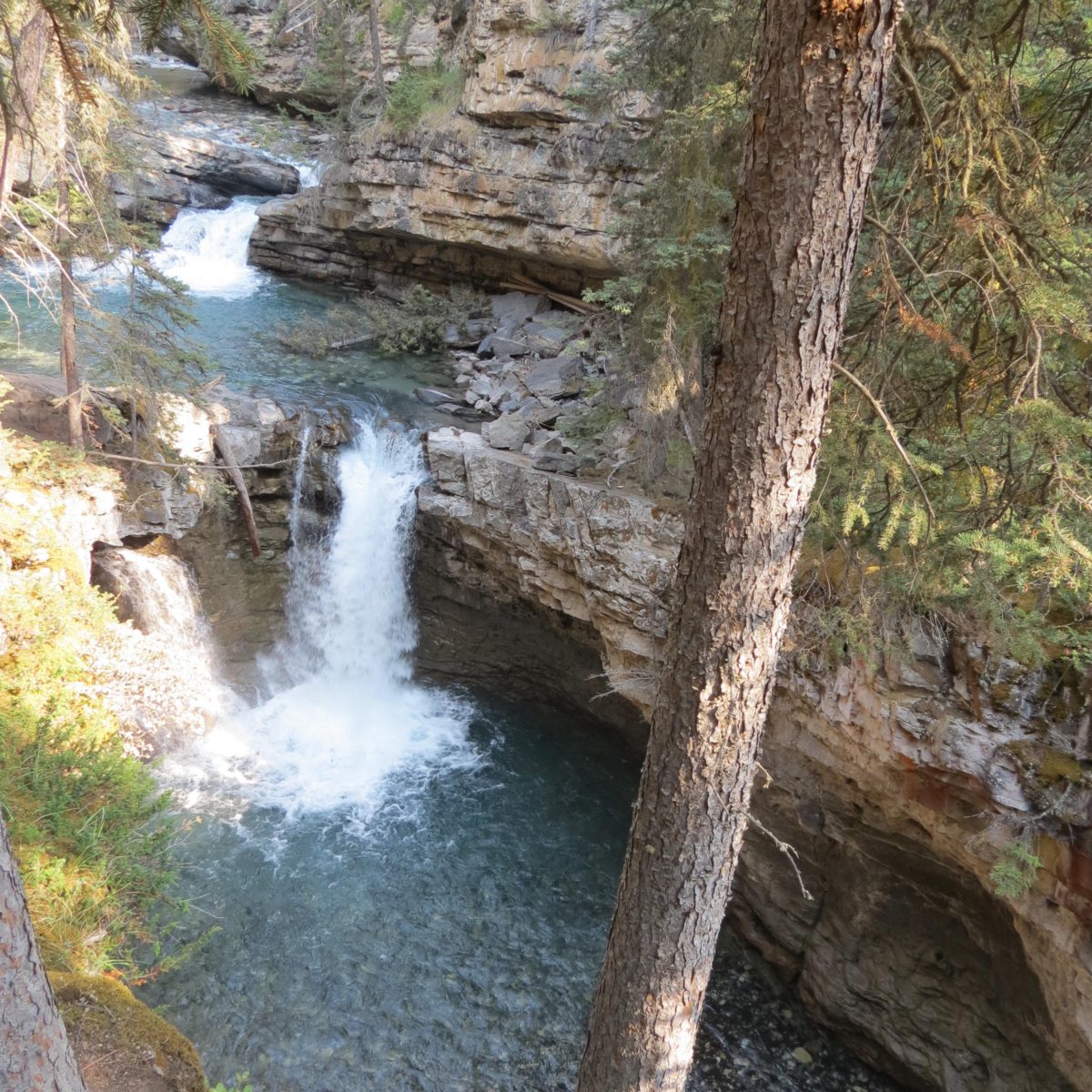
Waterfalls galore
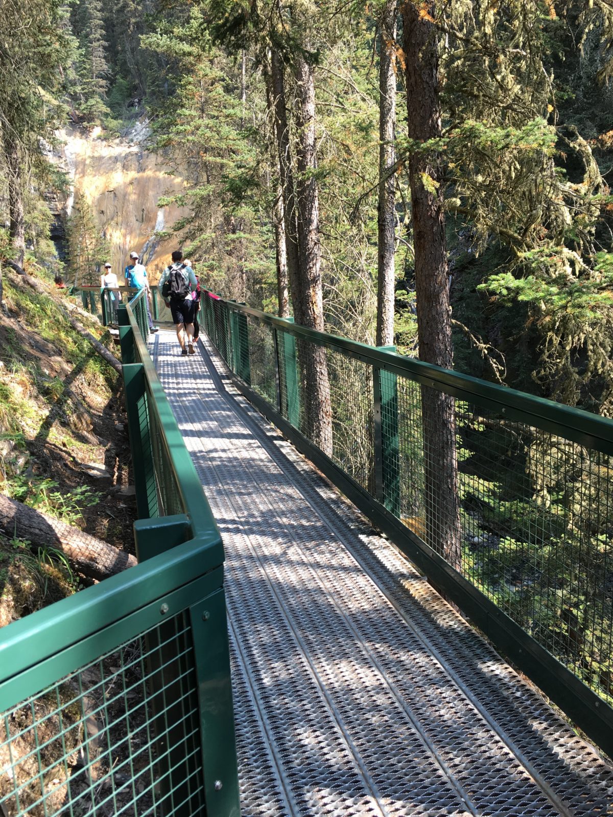
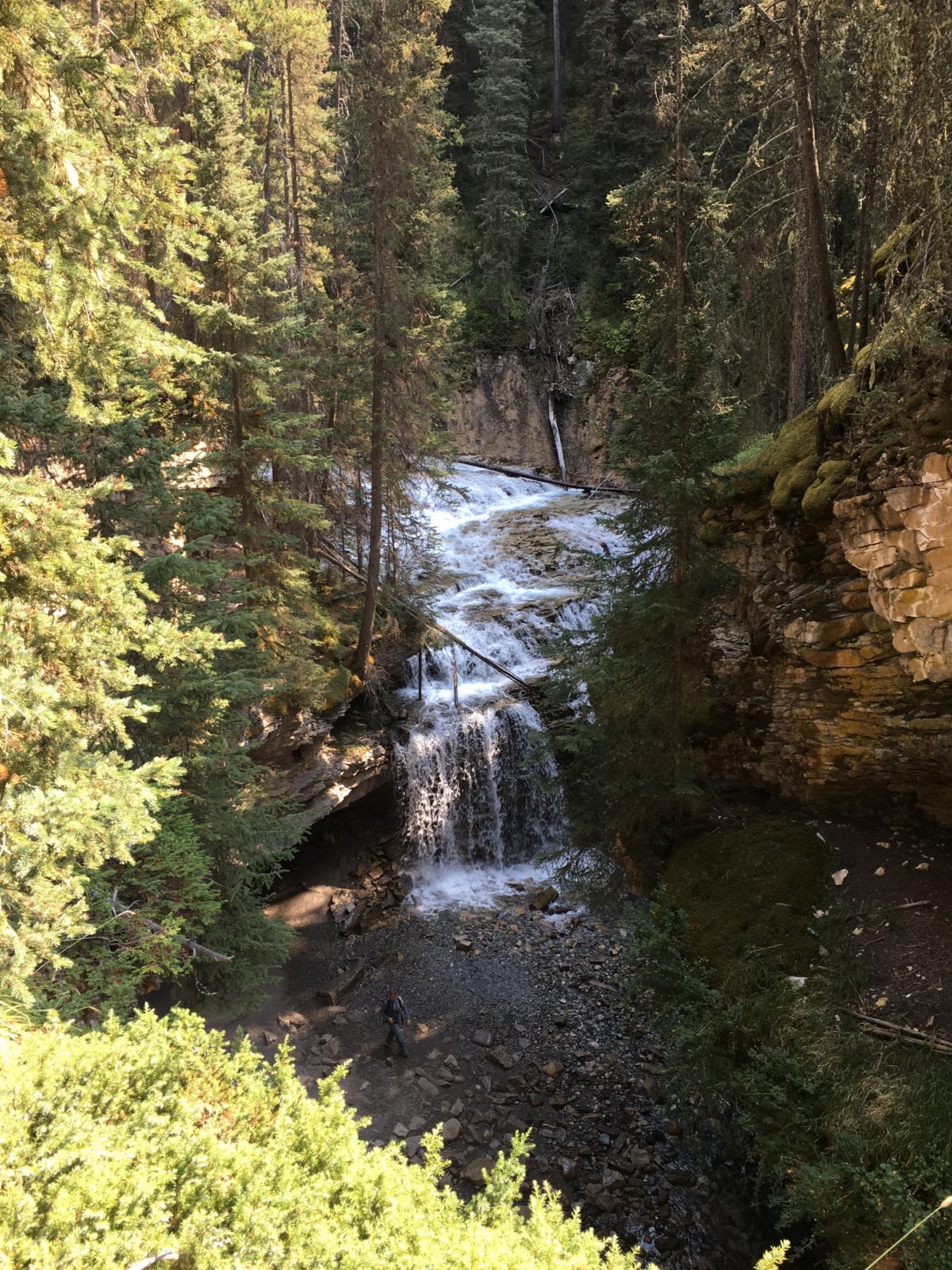
Hmmm….how do you get down there?
The Upper Falls:
Again, you’ll come to a fork in the road. Go left for the Ink Pots, right for the Upper Falls.
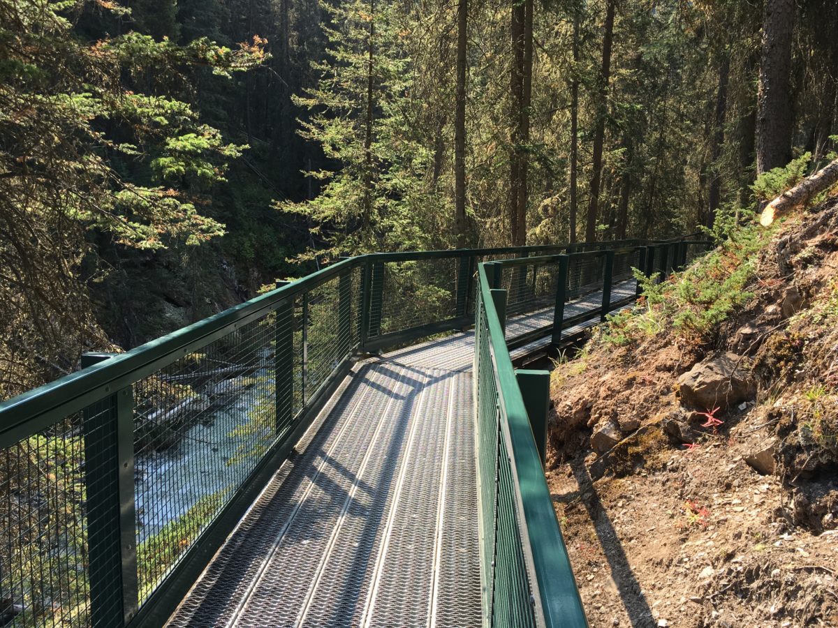
This path will lead you to the Upper Falls
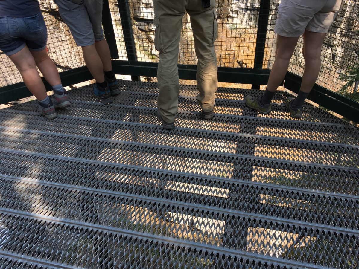
The end (and hanging overlook) of the Upper Falls trail
To the left (looking north) is the Upper Falls.
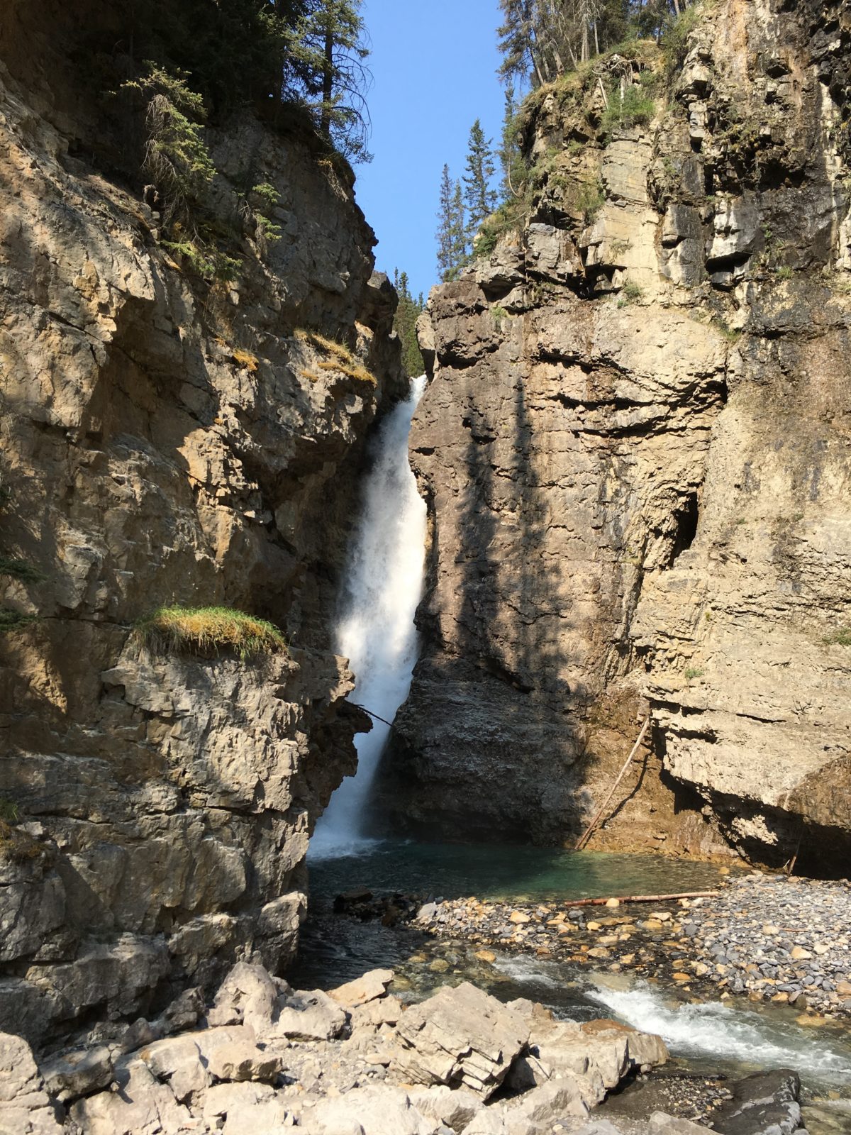
The Upper Falls
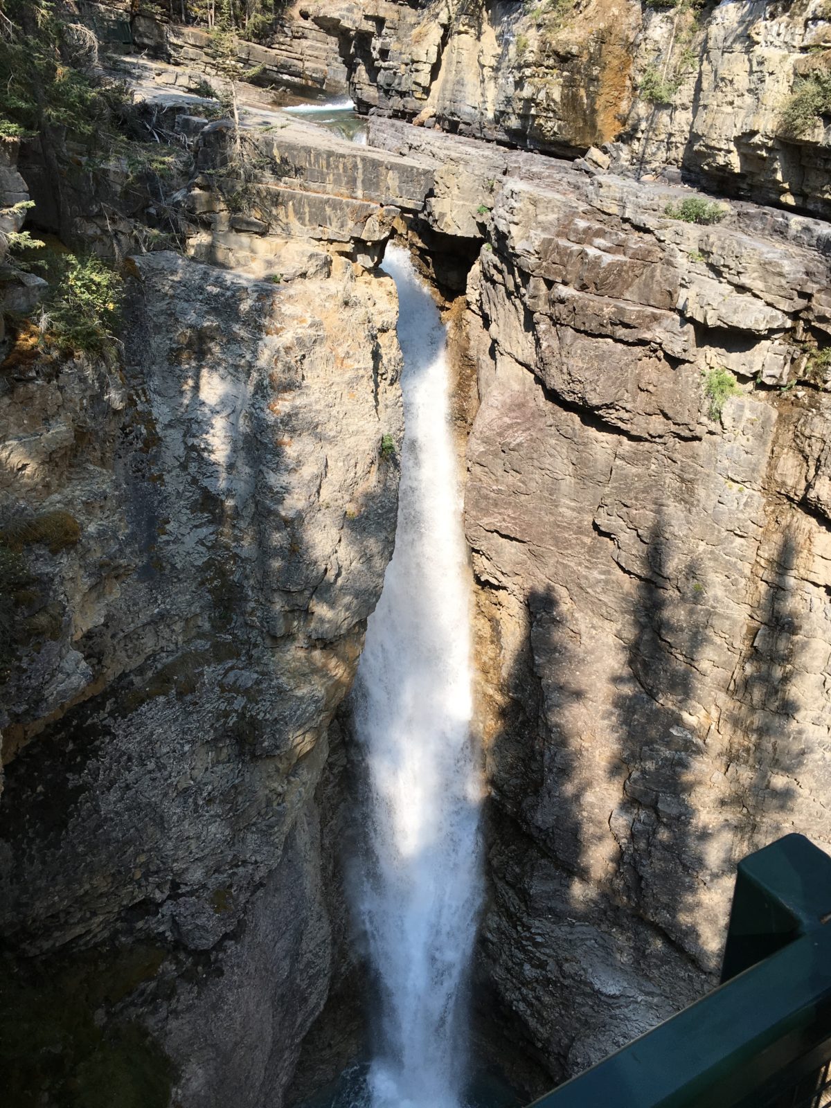
It’s along way down…
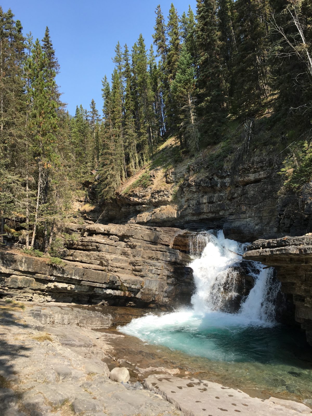
Top of the Upper Falls
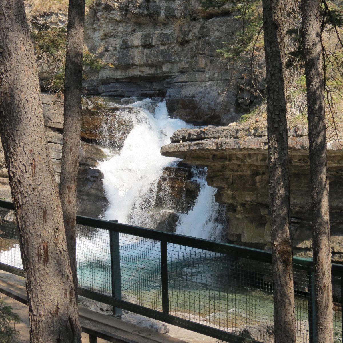
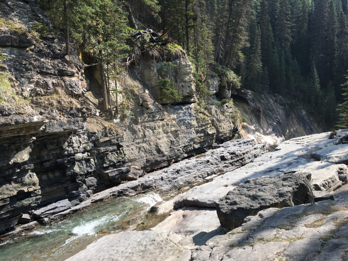
Above the Top of the Falls
The “Secret Cave Trail” And How To Get There:
If you Google or Instagram Johnston Canyon, you’ll no doubt see some amazing pictures of a cave, a waterfall, and what appears to be a sea-mount like something you’d find in Thailand. “But that wasn’t on the trail” you’ll say. And you’d be correct.
To reach the “most-Instagrammed” spot in Banff, you’ll have to find the unofficial and unpaved “Secret Cave Trail” that leads you down to the river below – but don’t worry, it’s easy to find.
Right before the trail that veers right to the Upper Falls, you’ll find a dirt-path on your right that leads down a steep hillside.
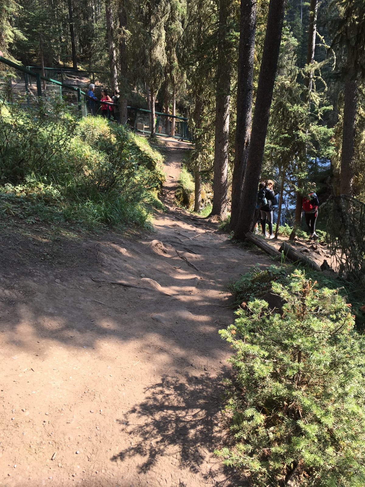
The “Secret Cave Trail” spur trailhead (where the hikers are standing off to the right)
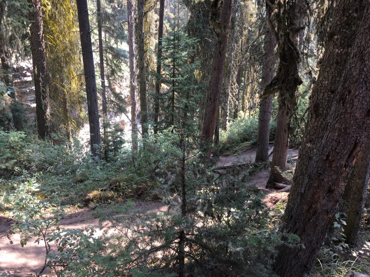
The “Secret Cave Trail” will haphazardly zig-zag down the hill, eventually leading you to the river and the huge secret cave.
The “Most-Instagrammed” Spot in Banff National Park:
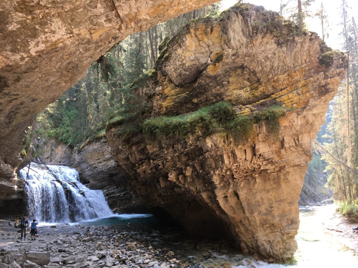
The “most-Instagrammed spot in Banff”
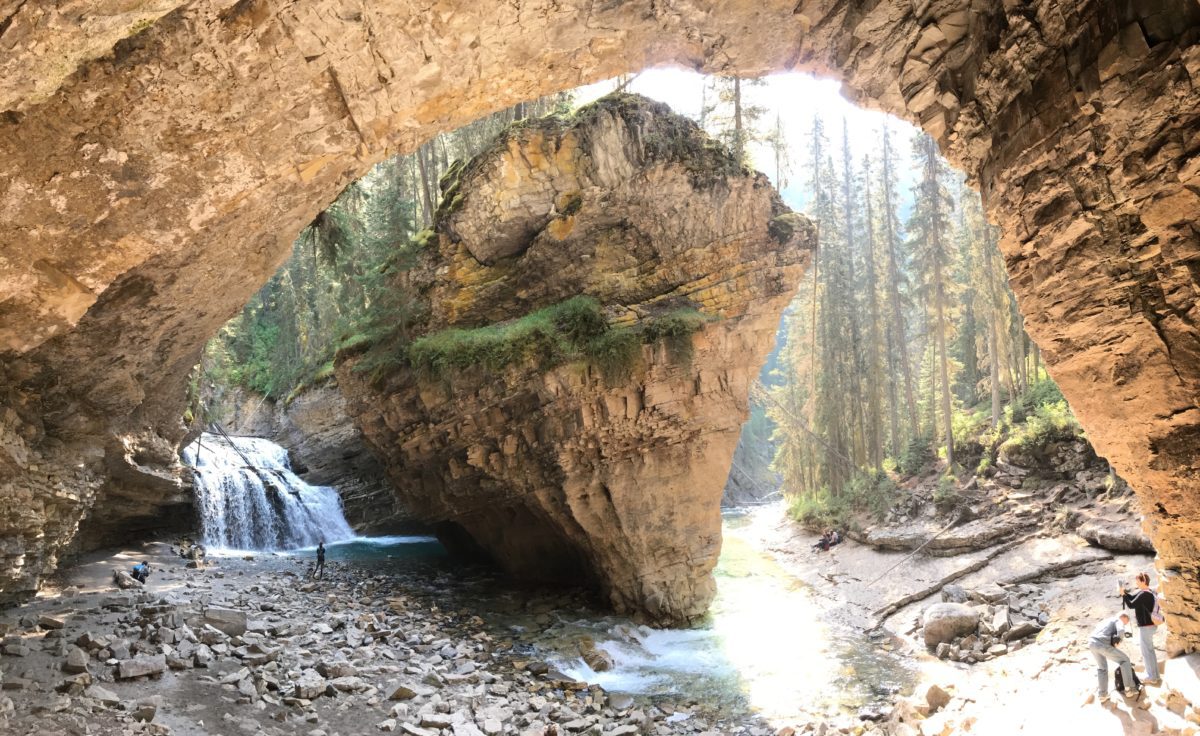
Panoramic style
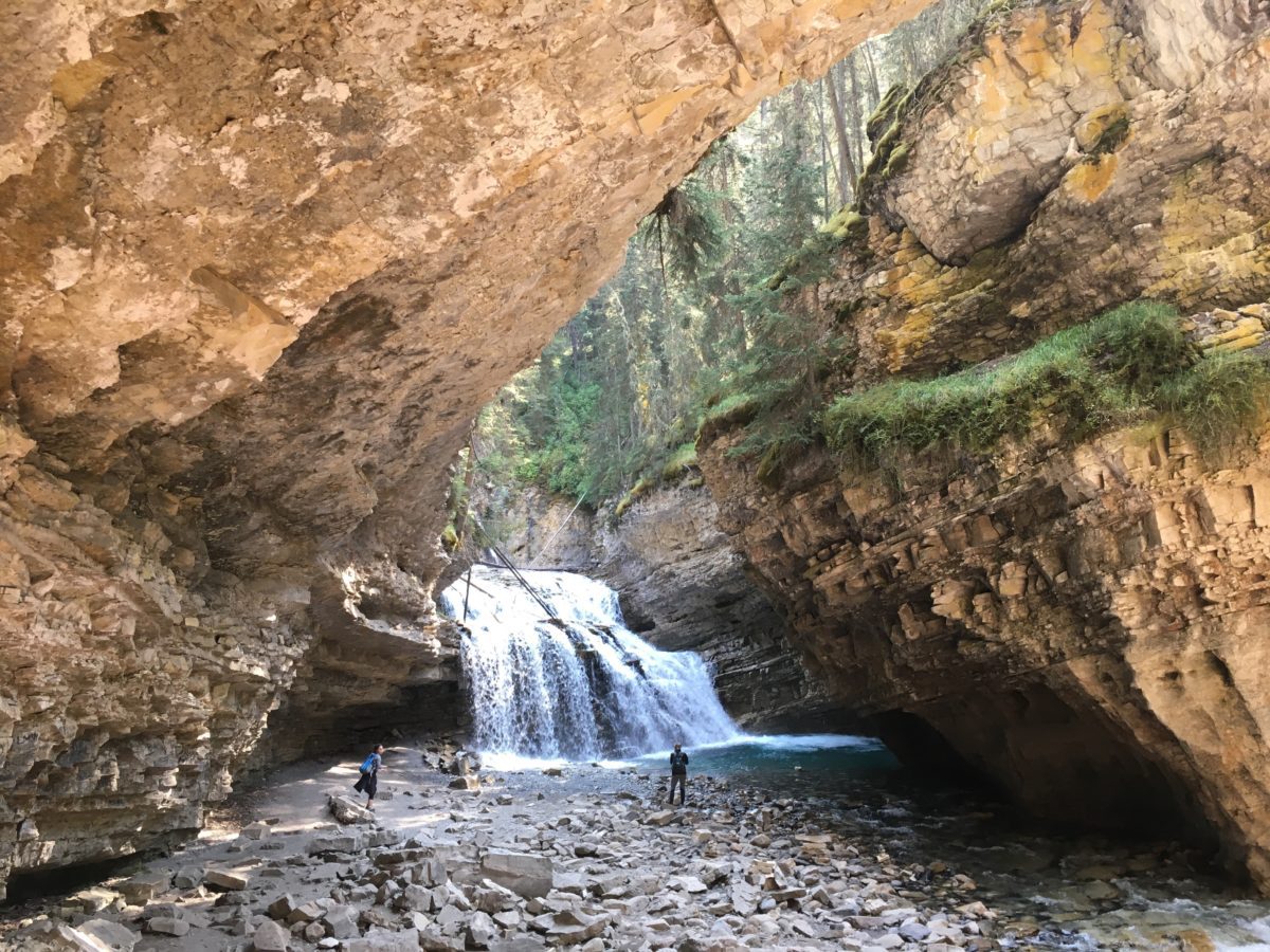
The waterfall
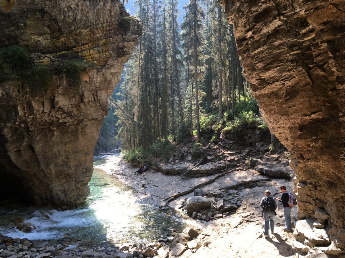
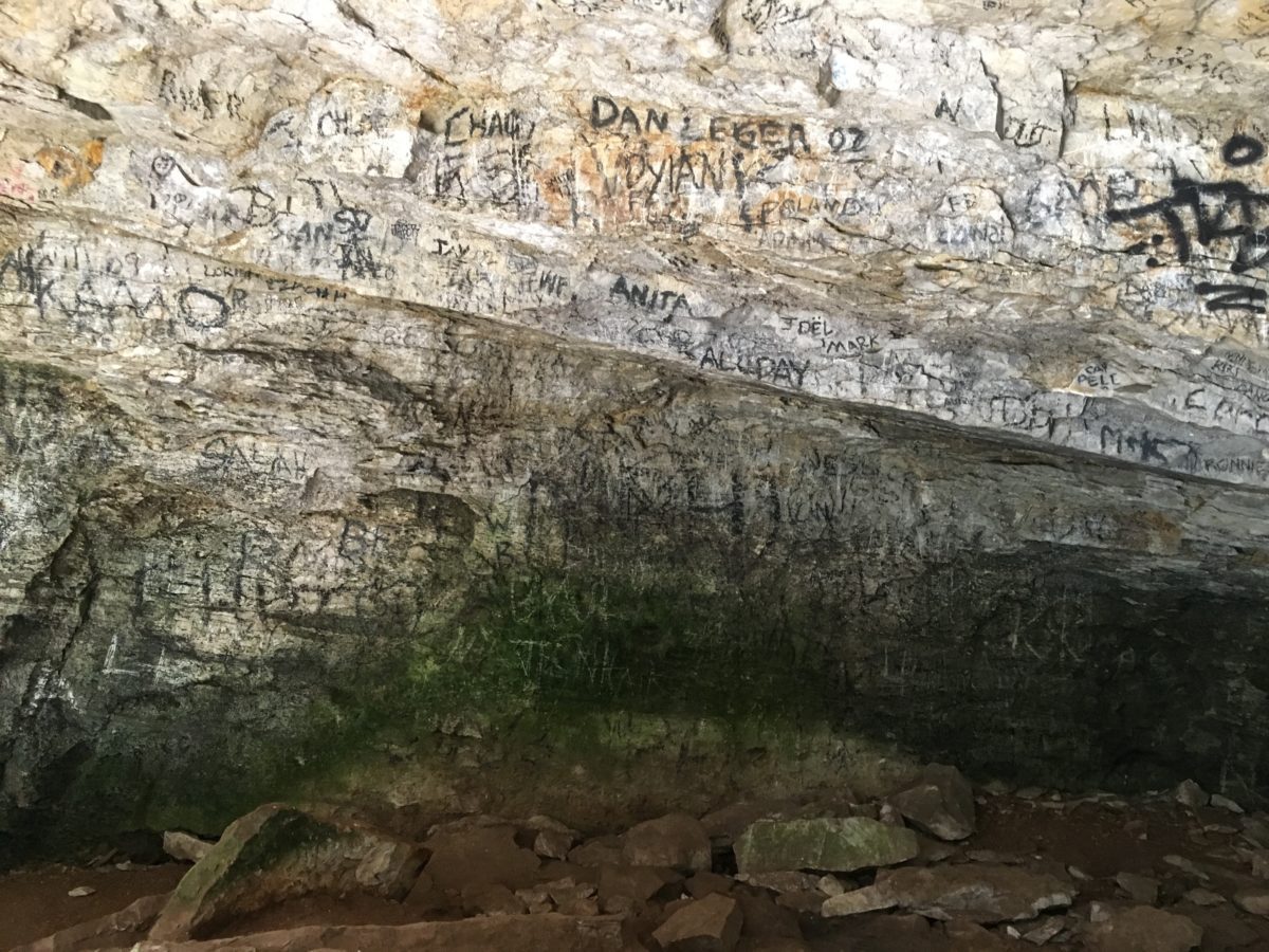
The graffiti in the back of the cave
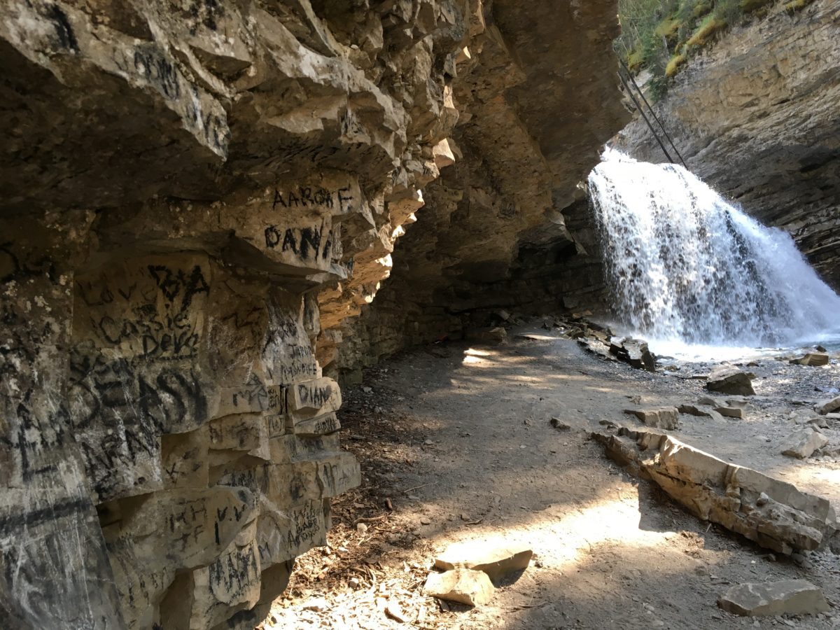
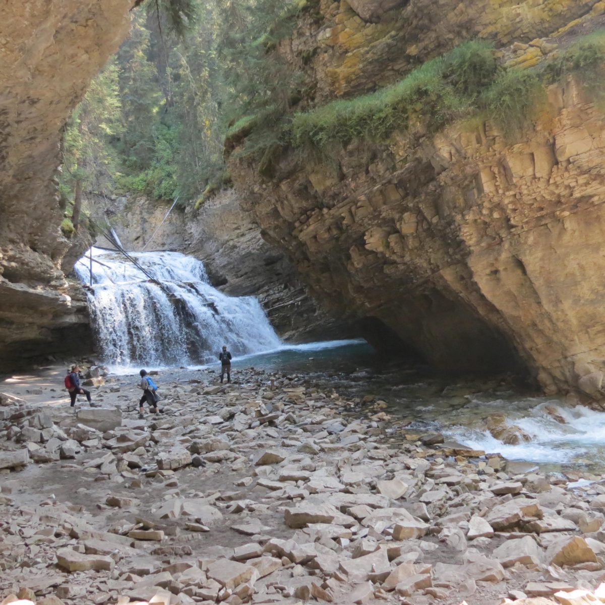
You can actually walk under the little waterfall here without getting wet!
Final Thoughts on Hiking Johnston Canyon:
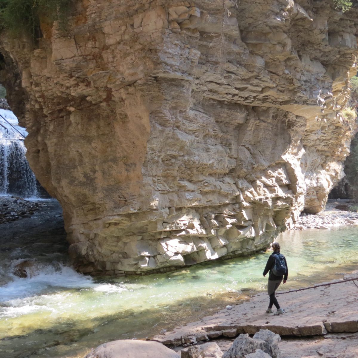
Hiking Johnston Canyon was absolutely great! It was a beautiful and picturesque hike that is not to be missed when you are up in Banff National Park – or the Canadian Rockies for that matter.
While the hike is a little long (and very crowded) it is a great half-day activity that is good for people of all ages and skill levels. The trail is paved the entire way and there are bathrooms at the parking lot trailhead and a snack shop near the resort as you start or end the hike.
You can tack-on the “Secret Cave Trail” for added beauty and challenge, but the canyon itself is a wonderful experience. Just make sure you get there early so you can find parking!
Cheers!

