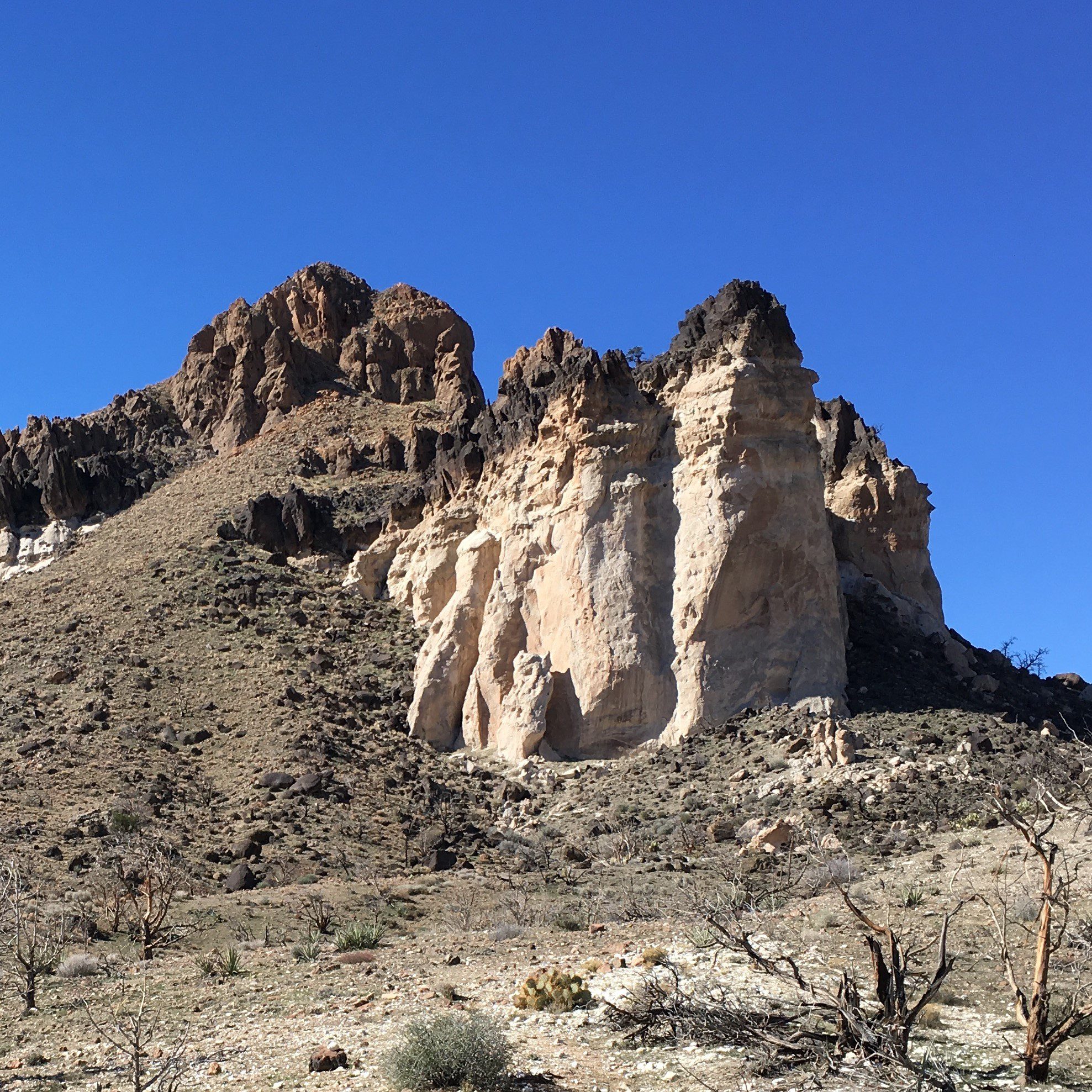
True, Mojave National Preserve is one of the lesser-known Parks in California, but that doesn’t mean it’s any less impressive than say Joshua Tree National Park or Death Valley National Park.
In fact, at 1.6 million acres, it is the third largest unit in the National Park System. What does that mean for you? A whole lot of great hiking trails of course!
Hiking The Barber Peak Loop Trail (Hole-In-The-Wall Campground, Mojave National Preserve, California)
In this post, I’ll take a look at a great hike in the Hole-In-The-Wall section of the park, I’m talking about the Barber Peak Loop Trail.
About The Barber Peak Loop Trail
AllTrails.com lists this hike at 5.6 miles (the NPS lists it at 6 miles) with a difficulty rating of “moderate”.
This desert hike is 100% completely uncovered and therefore probably shouldn’t be done in the summer sun or without adequate water and sunscreen. There are also cactus and wildlife hazards to be aware of (I’ll get to that in a second).
The Barber Peak Loop Trail is a great way to explore this area of the Park as this trail is really a combination of the highlights of the 3 trails below.

This scenic trail takes you on a loop from the Campground (or Visitor Center), around Barber Peak, past an ancient indigenous dwelling, under a “castle rock” formation, through Banshee Canyon, and out by way of the Rings Loop Trail.
You can also then take the Hole-In-The-Wall Nature Trail back to camp.
Getting There And Parking
The Hole-In-The-Wall Campground/Visitor Center is located about 4 hours from Los Angeles by car (or about 2 hours from Las Vegas).
There is more than abundant free parking at the Hole-In-The-Wall Visitor Center.
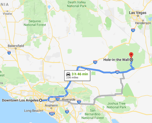
Map Of The Barber Peak Loop Trail
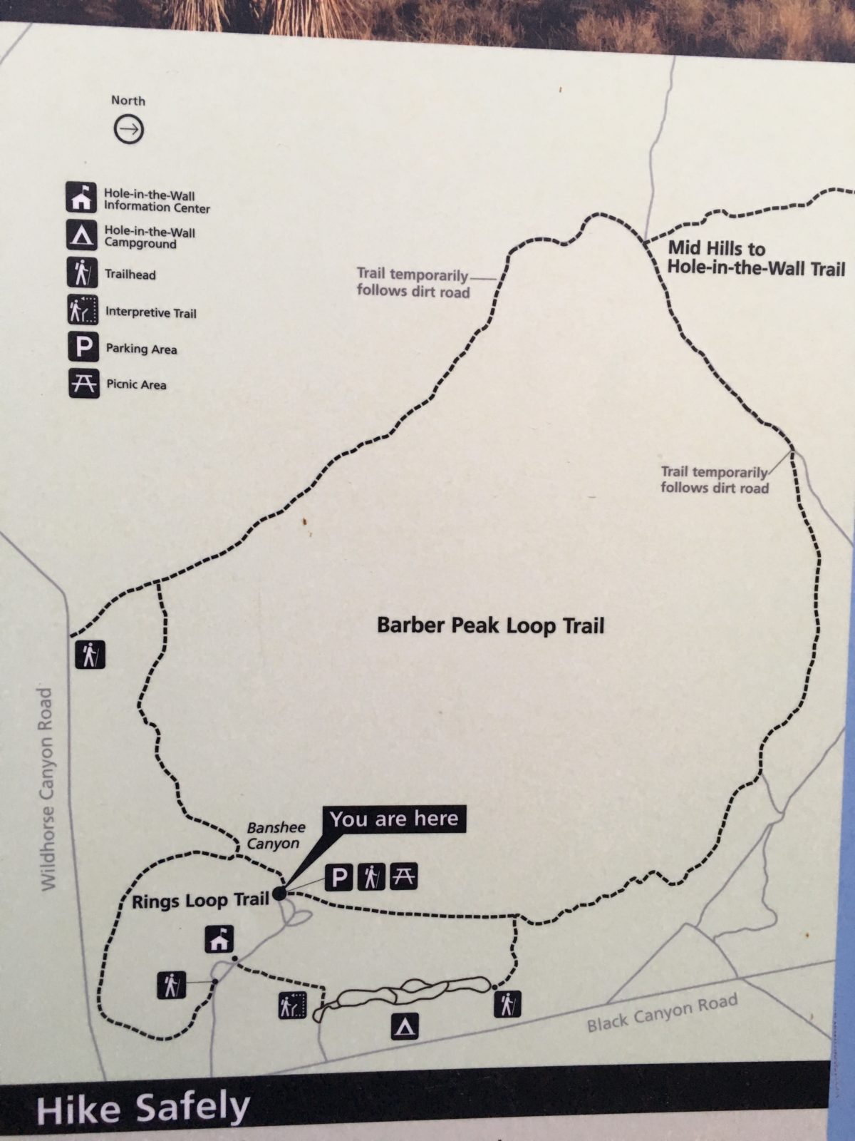
The official NPS trail guide
Section 1: Counter-Clockwise From The Visitor Center To The Campground
As mentioned above, you can either start this hike from the Visitor Center or from the Campground.
I chose to do this hike in a counter-clockwise direction so that I would end the hike ascending through Banshee Canyon using the ring-ladder.
I recommend doing it this way because its easier to go up a ring-ladder than to go down a ring-ladder.
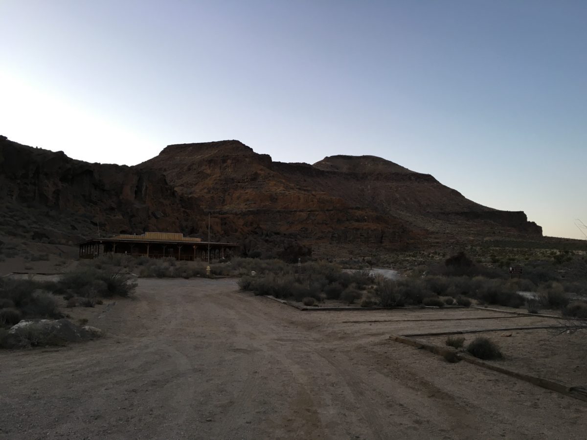
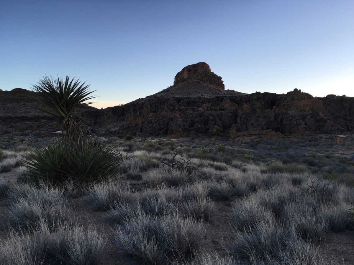
The Visitor Center
Leaving the Visitor Center
Section 2: From The Campground To The Indigenous Dwelling
Once you leave the campground, this is where the trail really gets going. You’ll make a partial ascent up the side of Barber Peak (where you’ll have the option of returning to the Visitor Center or continuing onward) then descend into the area with the indigenous dwelling.
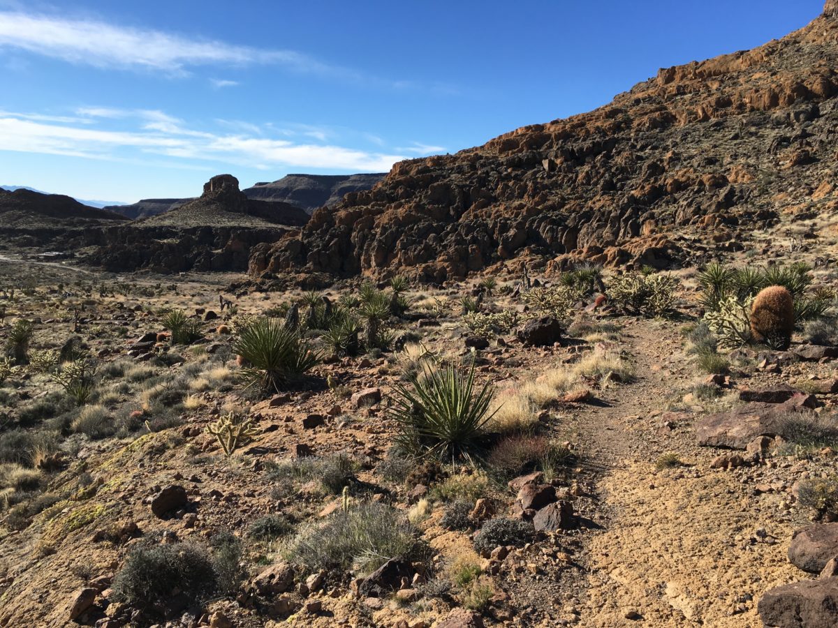
Ascending Barber Peak (partially)
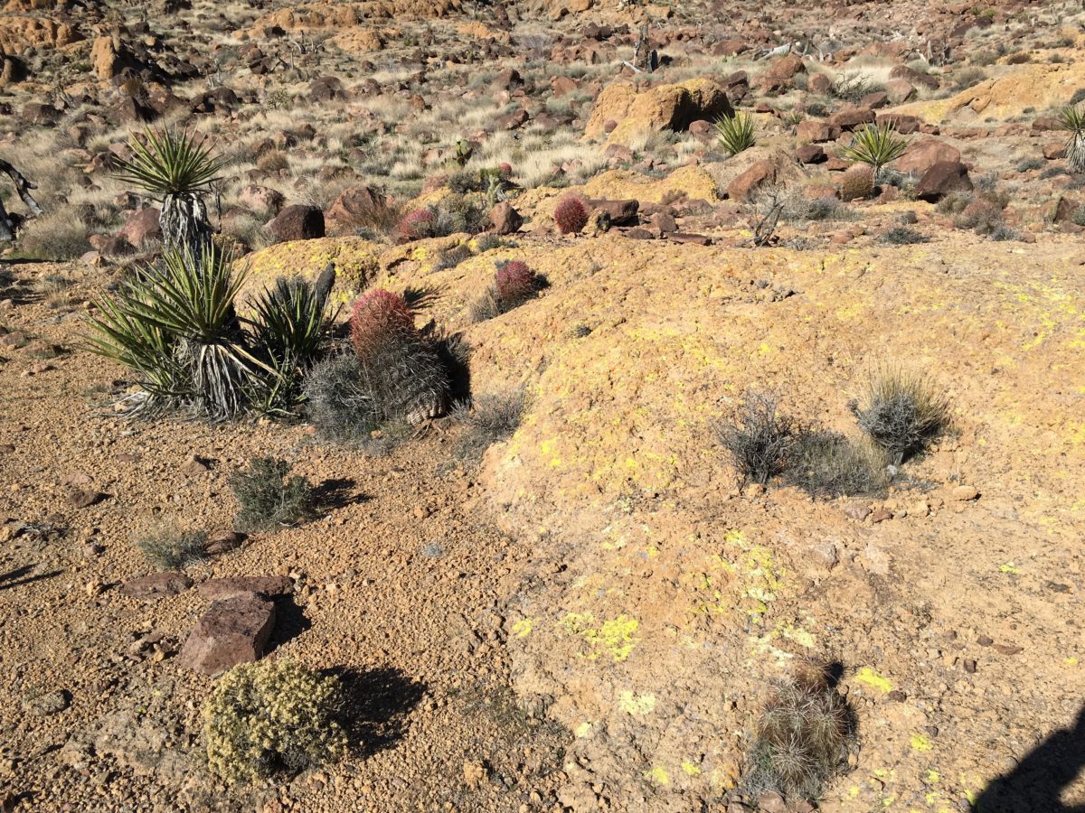
Interesting landscape and desert life
As you descend toward the dwelling, you’ll have to enter through a cattle-fence. Keep going and you’ll reach the dwelling area (below).
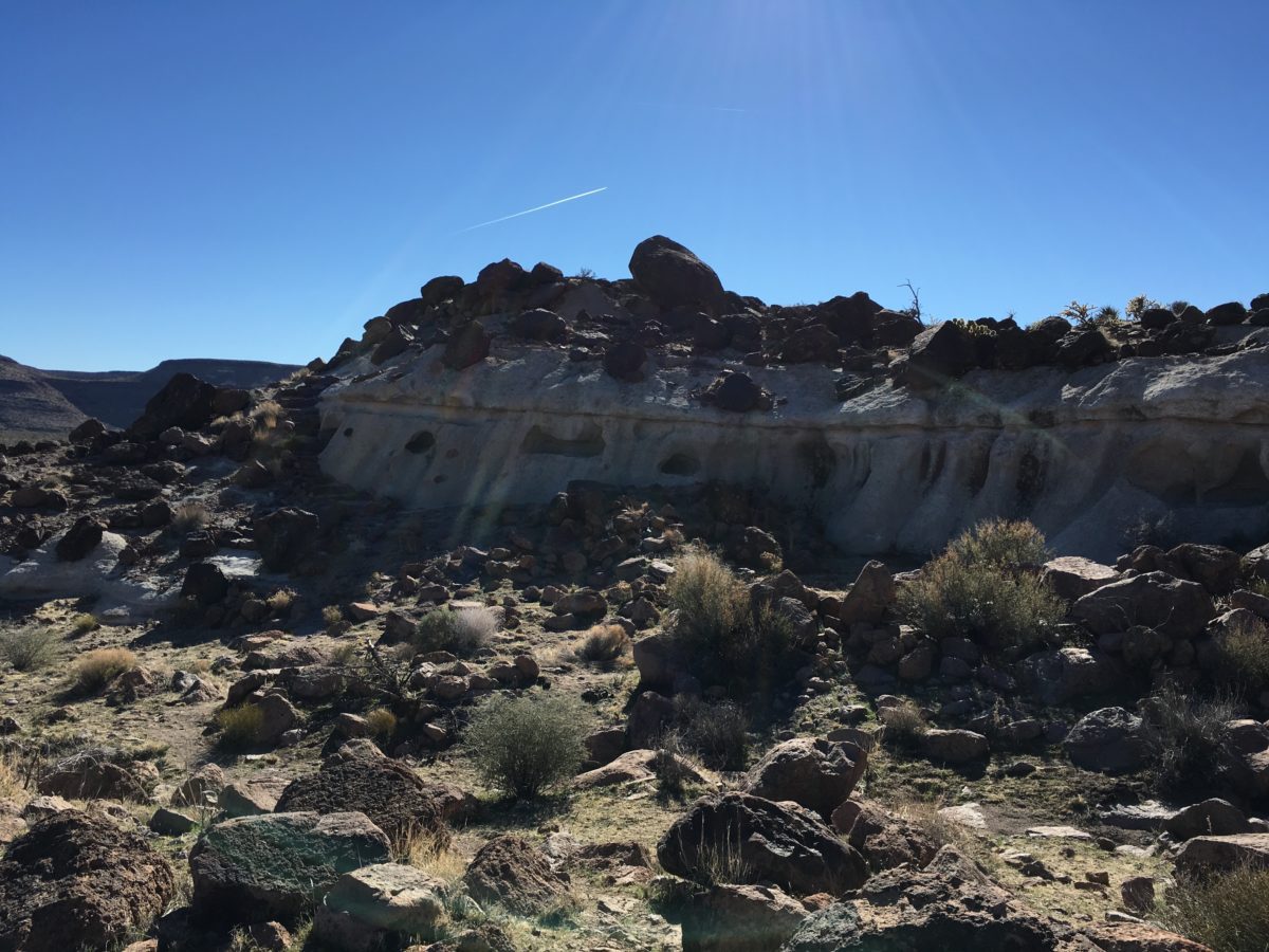
The Dwelling: There’s a little staircase on the left that leads you to the “roof”
Section 3: From The Dwelling To The Cattle Fence
After you pass the dwelling, the trail will turn into a dirt road for a little while.
I found this section of the trail to be the most beautiful and the most straight-up dangerous.
Why? Cattle. Specifically bulls. Mean, grumpy, ornery bulls.
Beware Of The Bull(s)!
It was walking along this section of the trail that we ran into the first group of cattle – and the first bull. He was a monster in size, he was standing on the trail, and he was not happy to see us.
Clearly he was agitated, so we tried to approach him slowly. He was in a staring us down, never once blinking, when he suddenly started mooing very loud. Before long, he was aggressively snorting and foot-dragging as if to signal he was going to charge.
At this point, there were three [separate] groups of hikers waiting to see what he was going to do. Once he started swiping his feet and shaking his head (readying to charge), all three groups literally ran [for our lives] (off-trail) making a b-line for the top of the hill, cactus-be-damned.
The good news was we didn’t die. The bad news was we were way off trail in a cactus cluster on the side of a hill.
Eventually we made it around the bull, and safely back to the trail and the section with some of the most scenic parts of the hike.
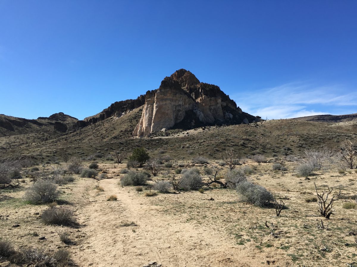
The “Castle Rock”
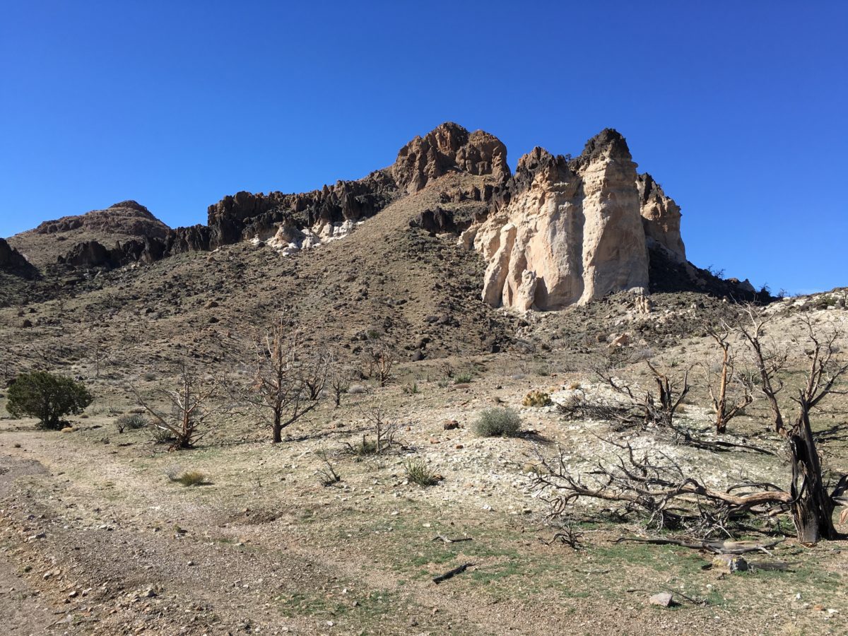
Castle Rock (from a different angle)
Just then, you guessed it, we ran into another pissed-off bull. This time, we headed straight for the side of the mountain again.
After a little bit of bush-wacking on the side-of the hill, we could see we once again met up with the trail and made it to the second cattle-fence.
Good riddance.
Peace bulls!
Section 4: From The Cattle-Fence Back To Banshee Canyon
By this time, the morning sun had given way to the afternoon sun and it was blazing down on us.
The mouth of Banshee Canyon was straight ahead.
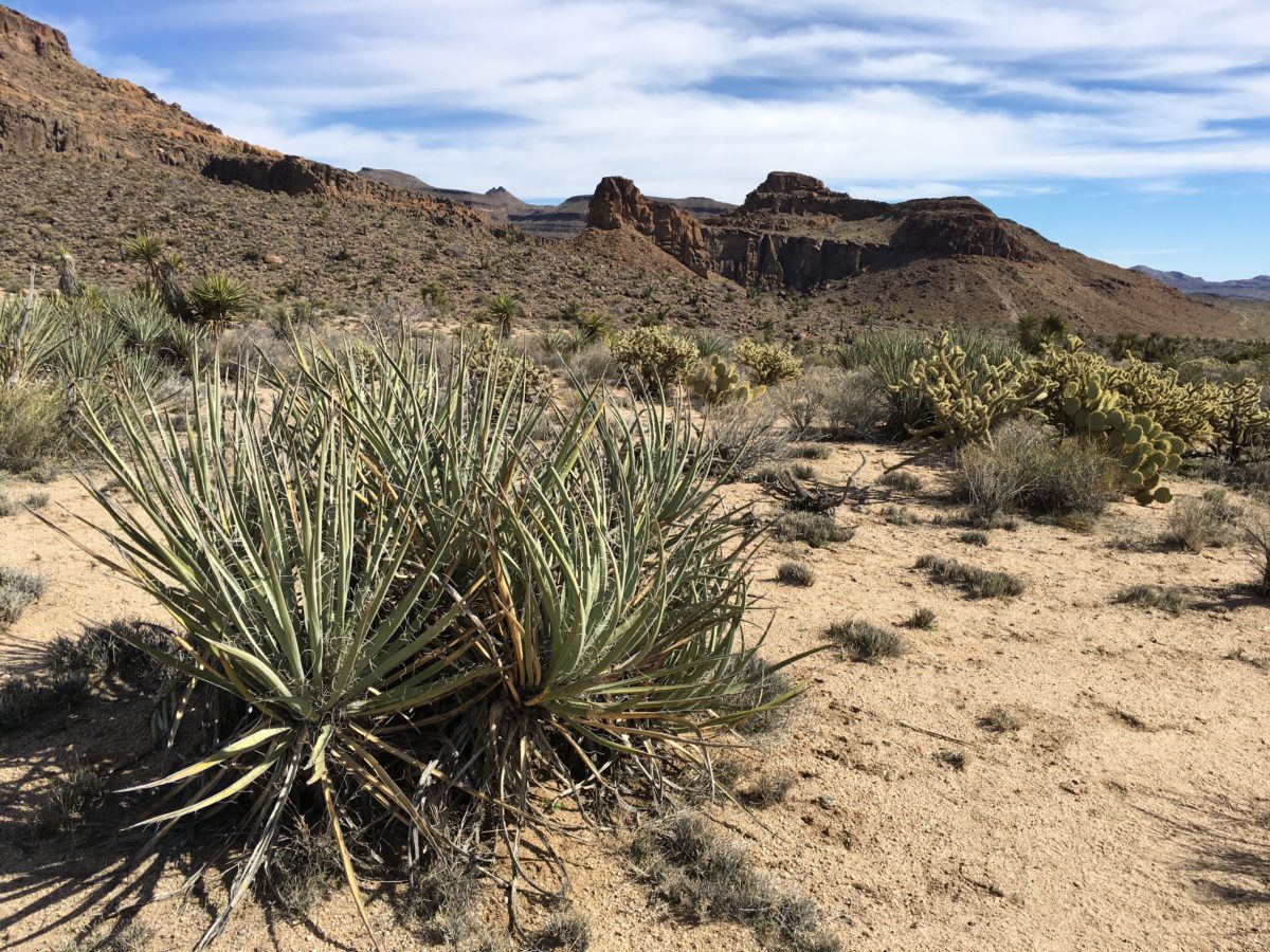
Banshee Canyon up ahead
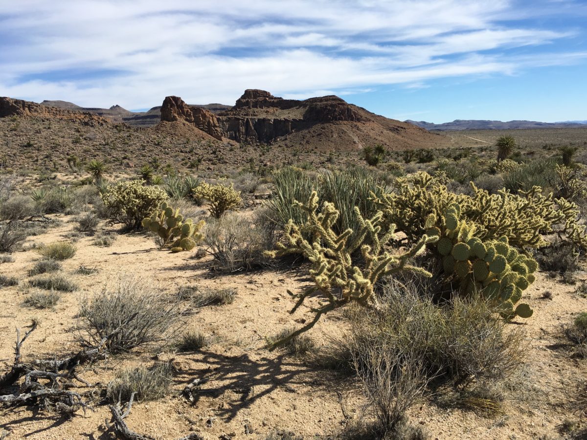
Cholla and Beaver-tail Cactus
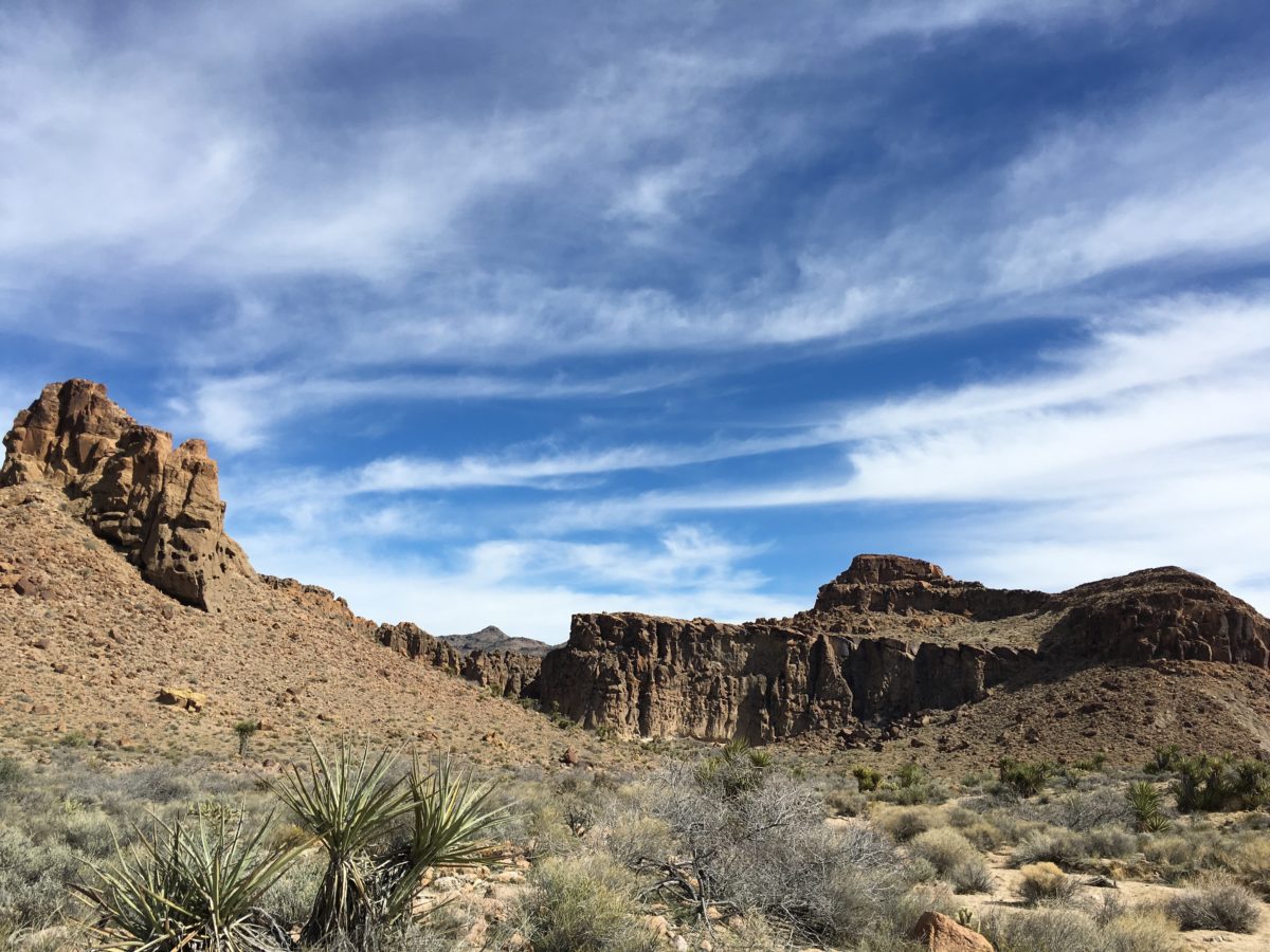
The “backside of the wall”
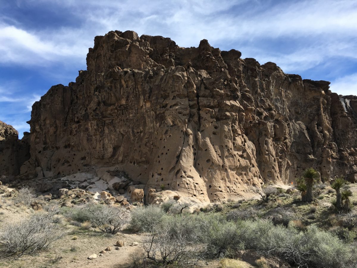
Interesting holes dot the formations here
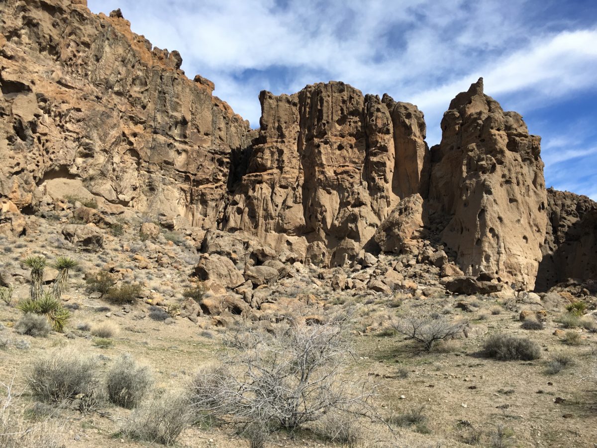
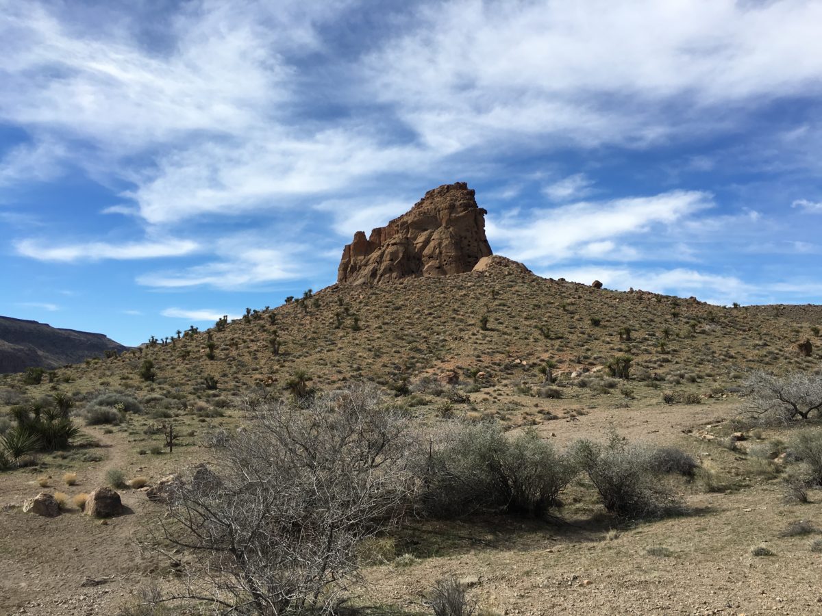
Section 5: From Banshee Canyon Through The-Hole-In-The-Wall (Via The Rings Loop Trail) Back To The Visitor Center
Entering Banshee Canyon is quite the sight. There were cool formations everywhere, with lots of holes in the wall to be sure.
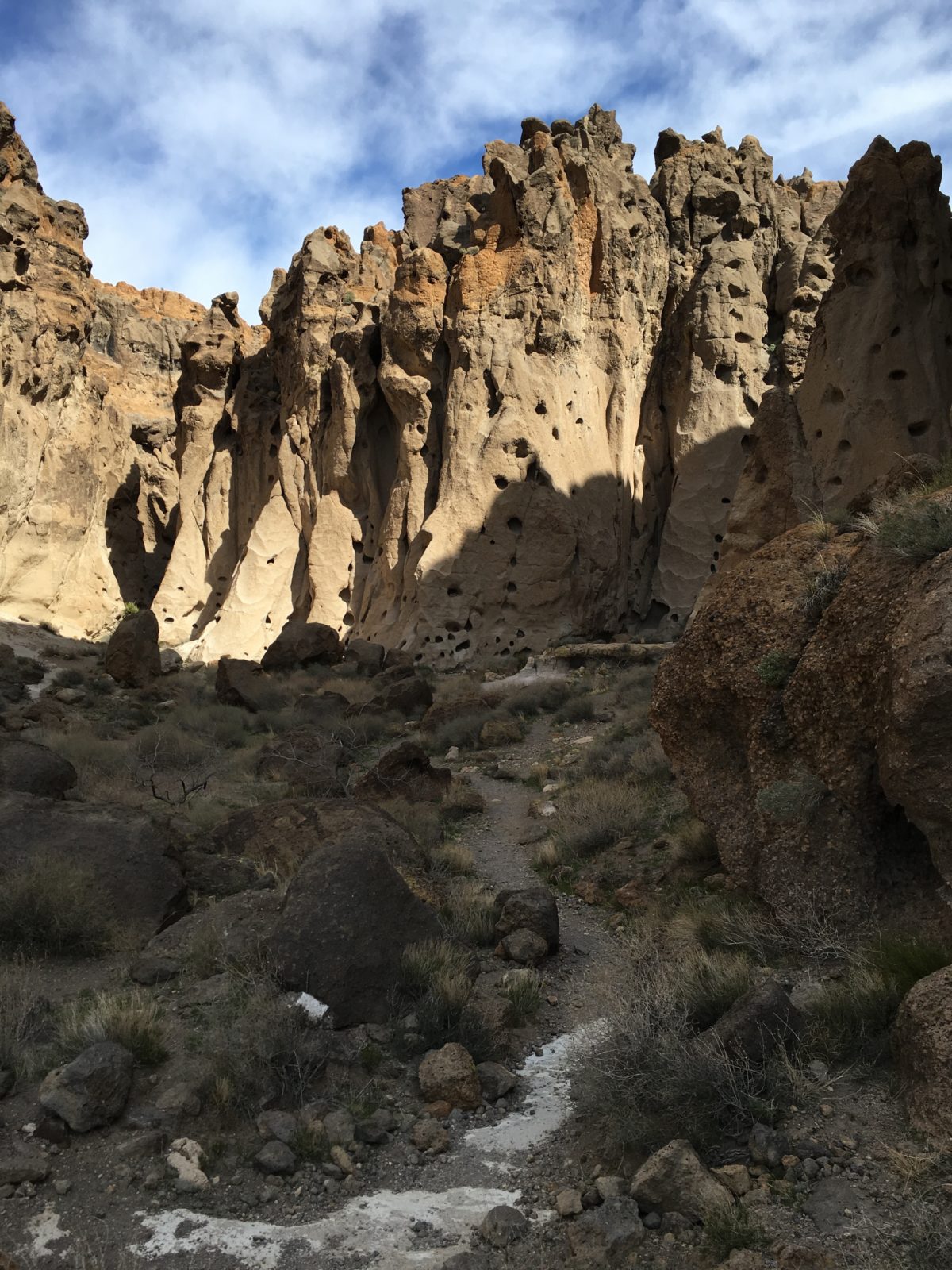
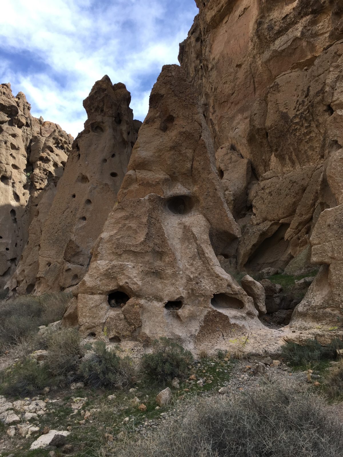
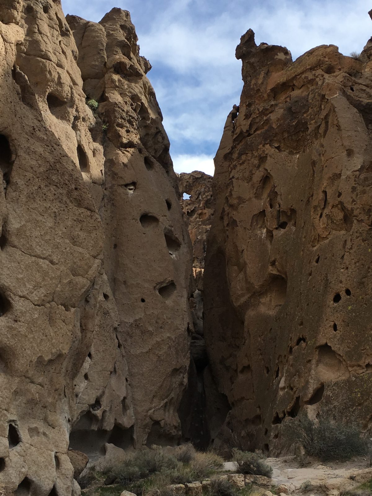
A holey slot-canyon
Once through Banshee Canyon, the last push was a couple of sections of ring-ladders followed by some rock-scrambling.
Take your time, the ring-ladders are more awkward than they are difficult.
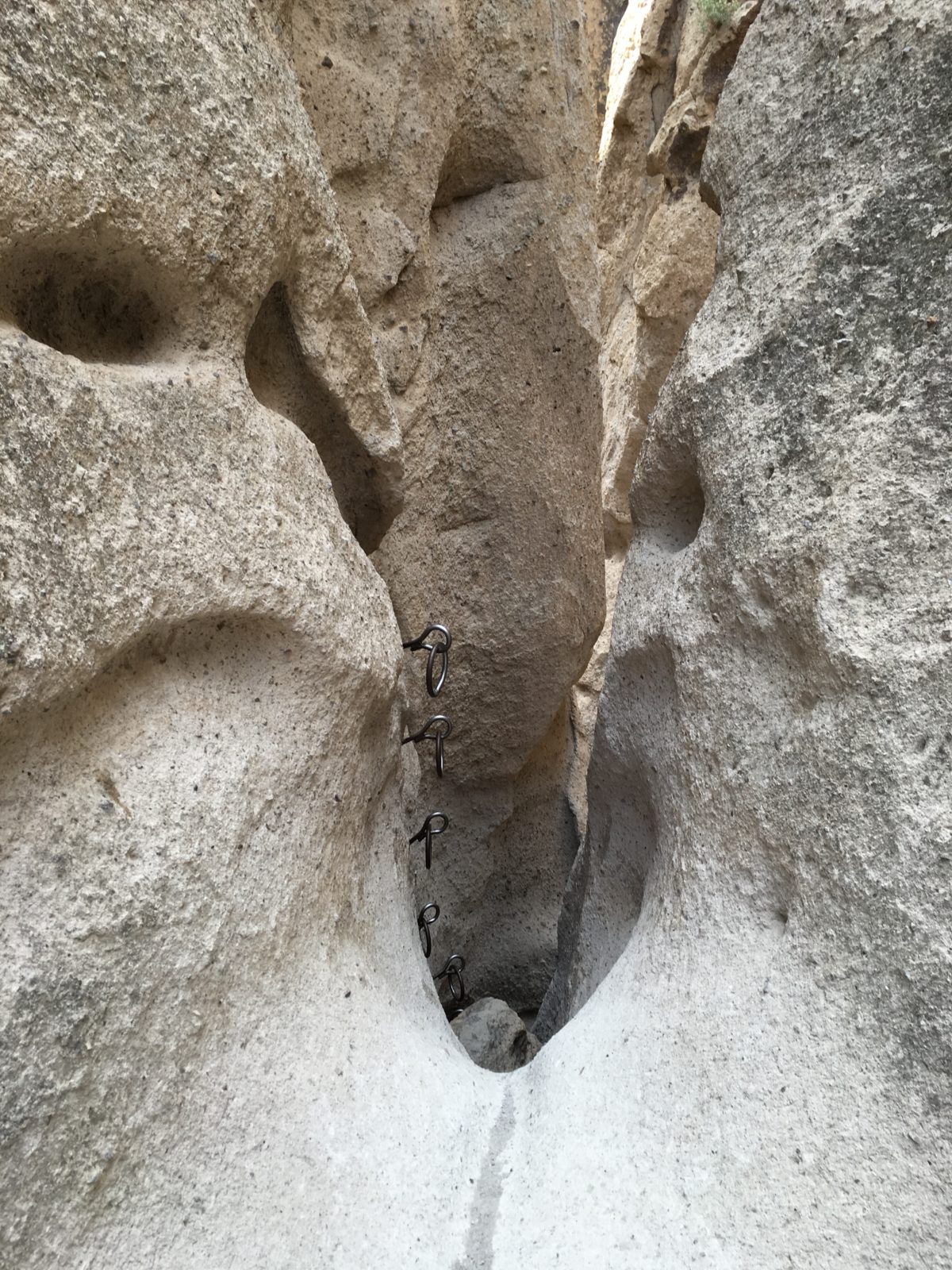
Behold, the ring-ladder (on the left)
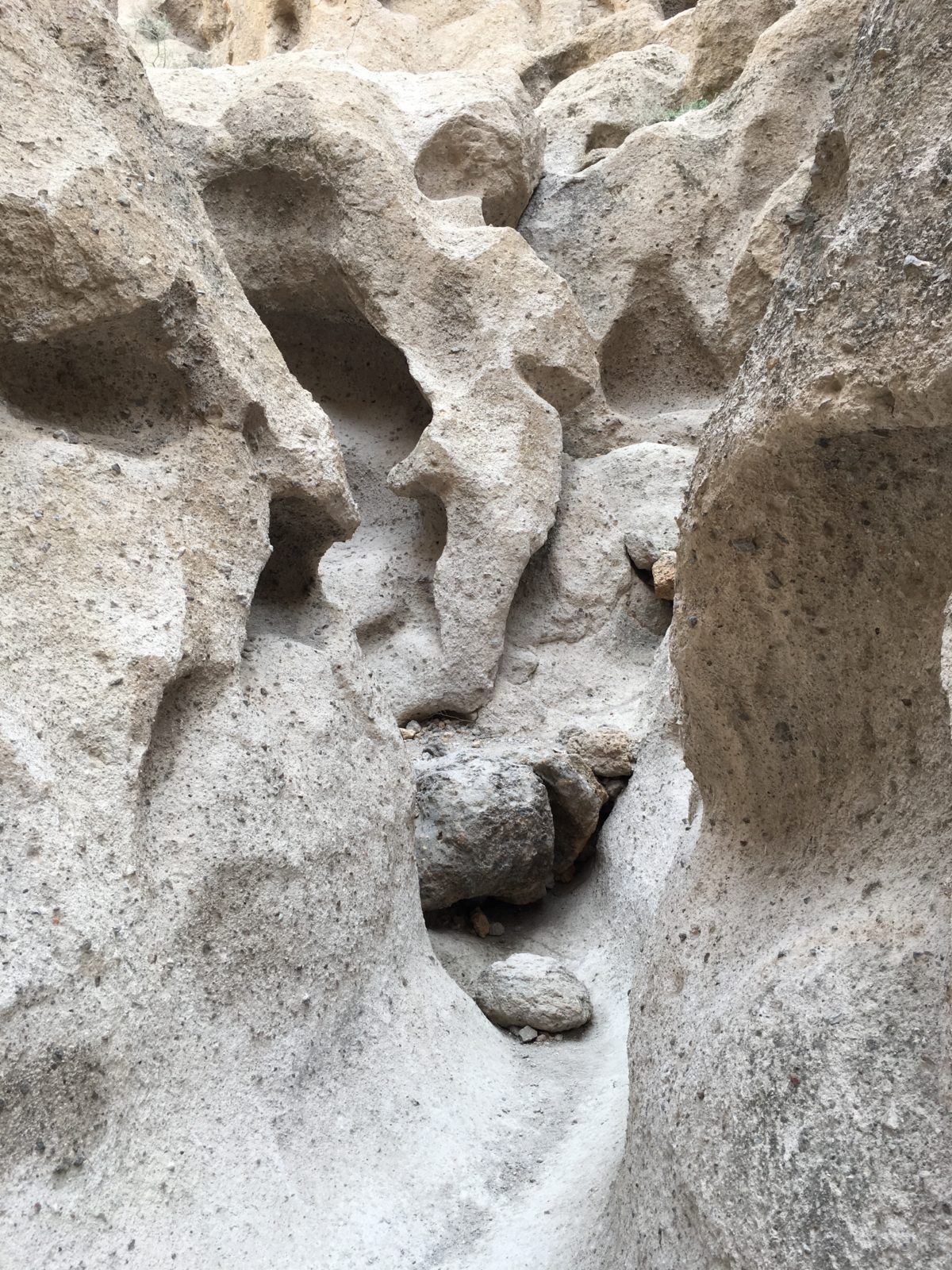
One last rock-scramble!
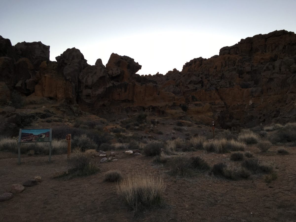
There, you’ve made it! Looking back into Banshee Canyon (where you’ve just ascended from)
Bonus: Sunset In The Mojave
How’s a Mojave Sunset for a reward?
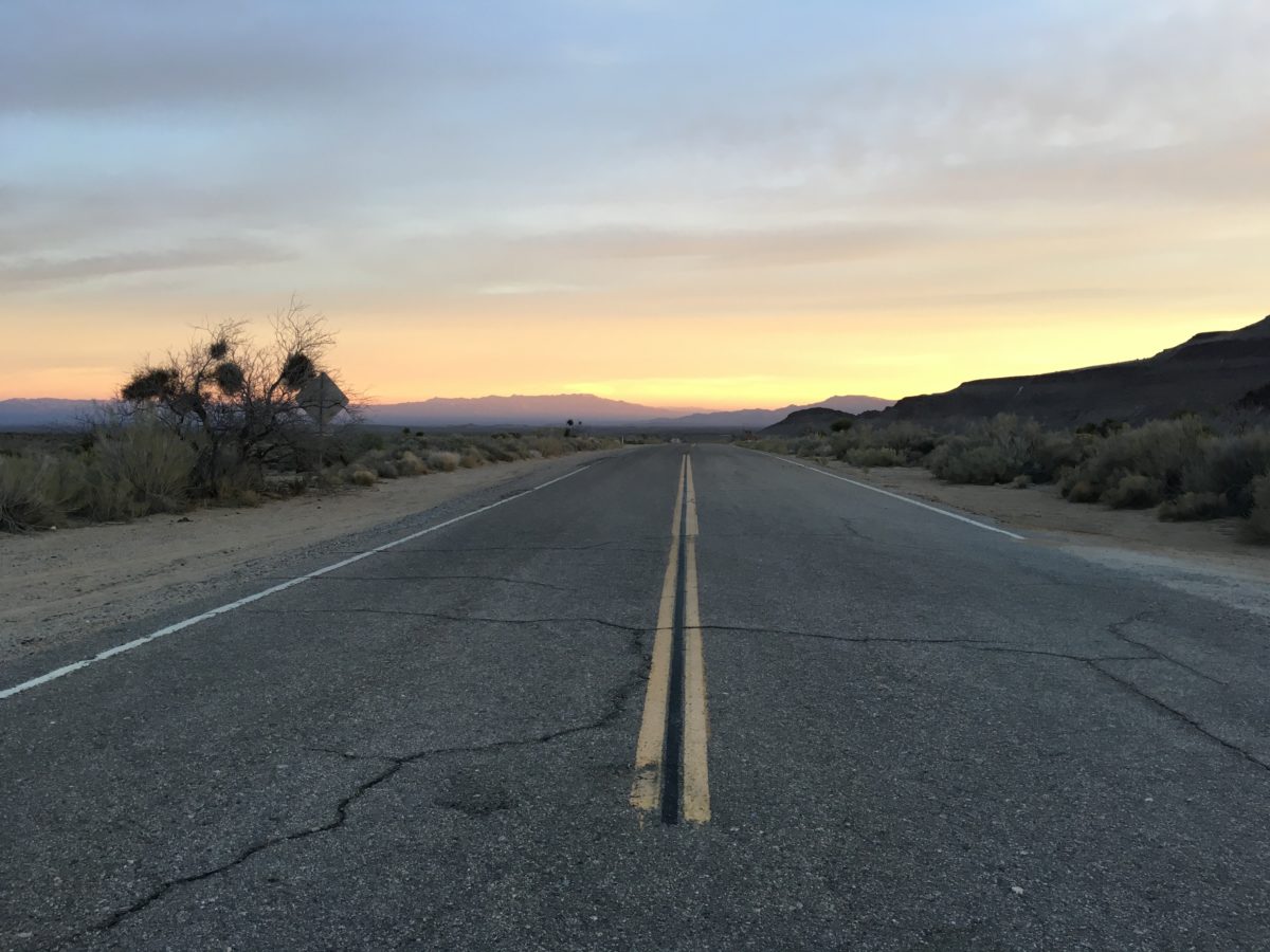
The road to nowhere, leads to me
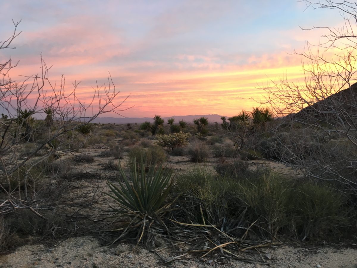
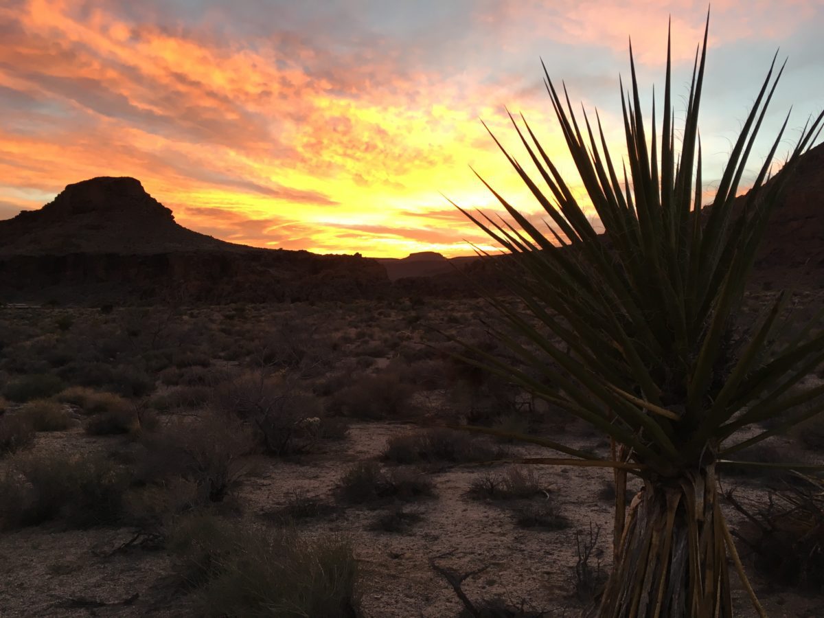
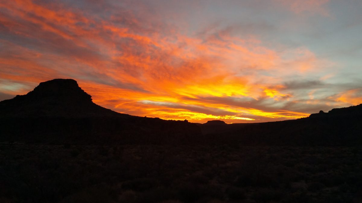
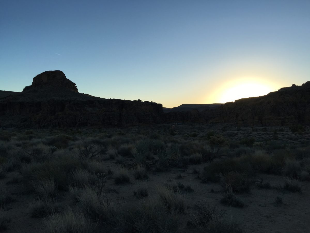
Sunset over Hole-In-The-Wall
Final Thoughts: Hiking The Barber Peak Loop Trail (Hole-In-The-Wall Campground, Mojave National Preserve, California)
The Barber Peak Loop Trail is a wonderful and scenic hike in the center of the Mojave National Preserve.
Due to its nature as a desert hike, I recommend doing this in the fall or winter or early morning. Overall, it was a really fun and interesting trail that I can easily recommend to visitors of the Campground or to this section of this great Park.
Just watch out for the bulls! (Seriously, watch out for the bulls).
Cheers!

